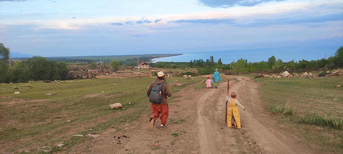
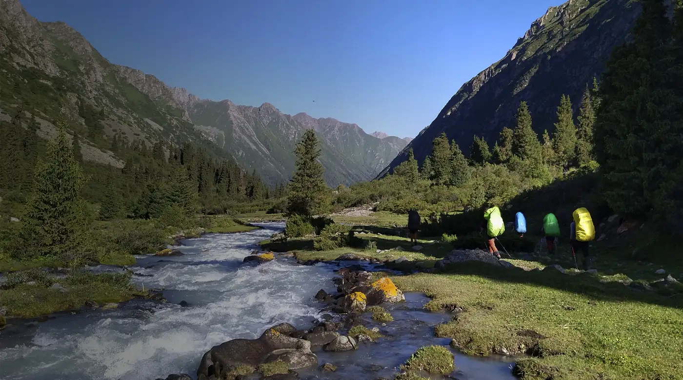
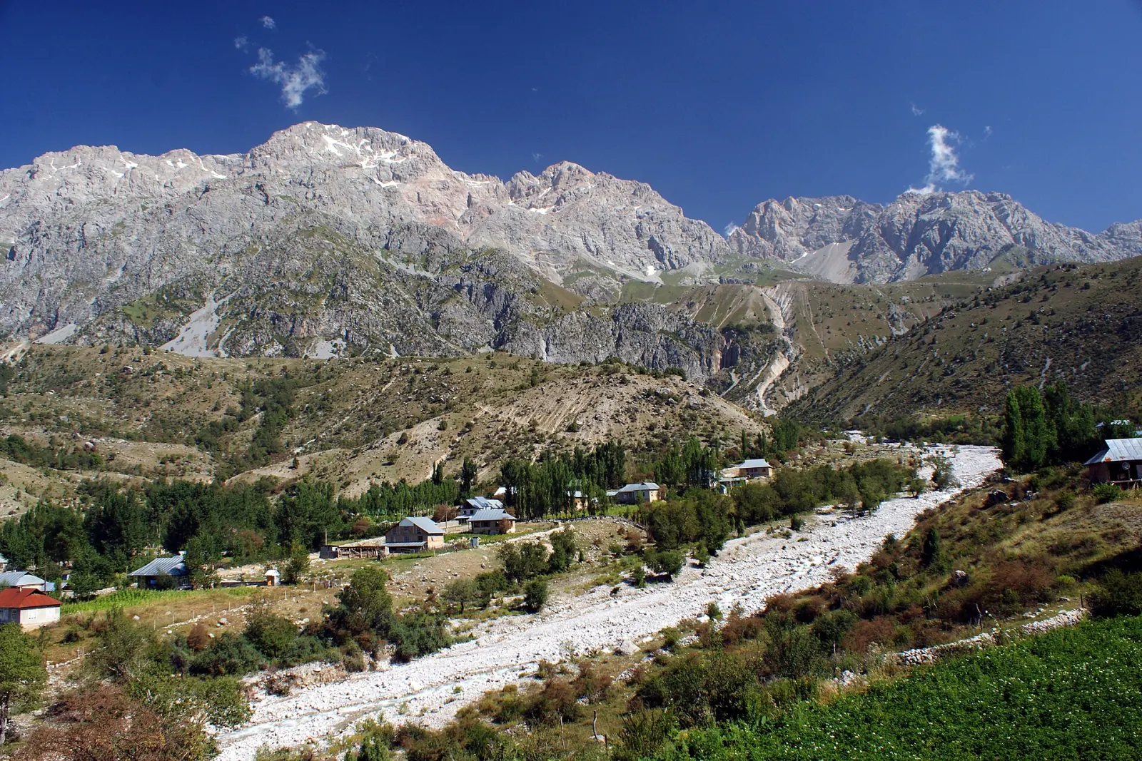
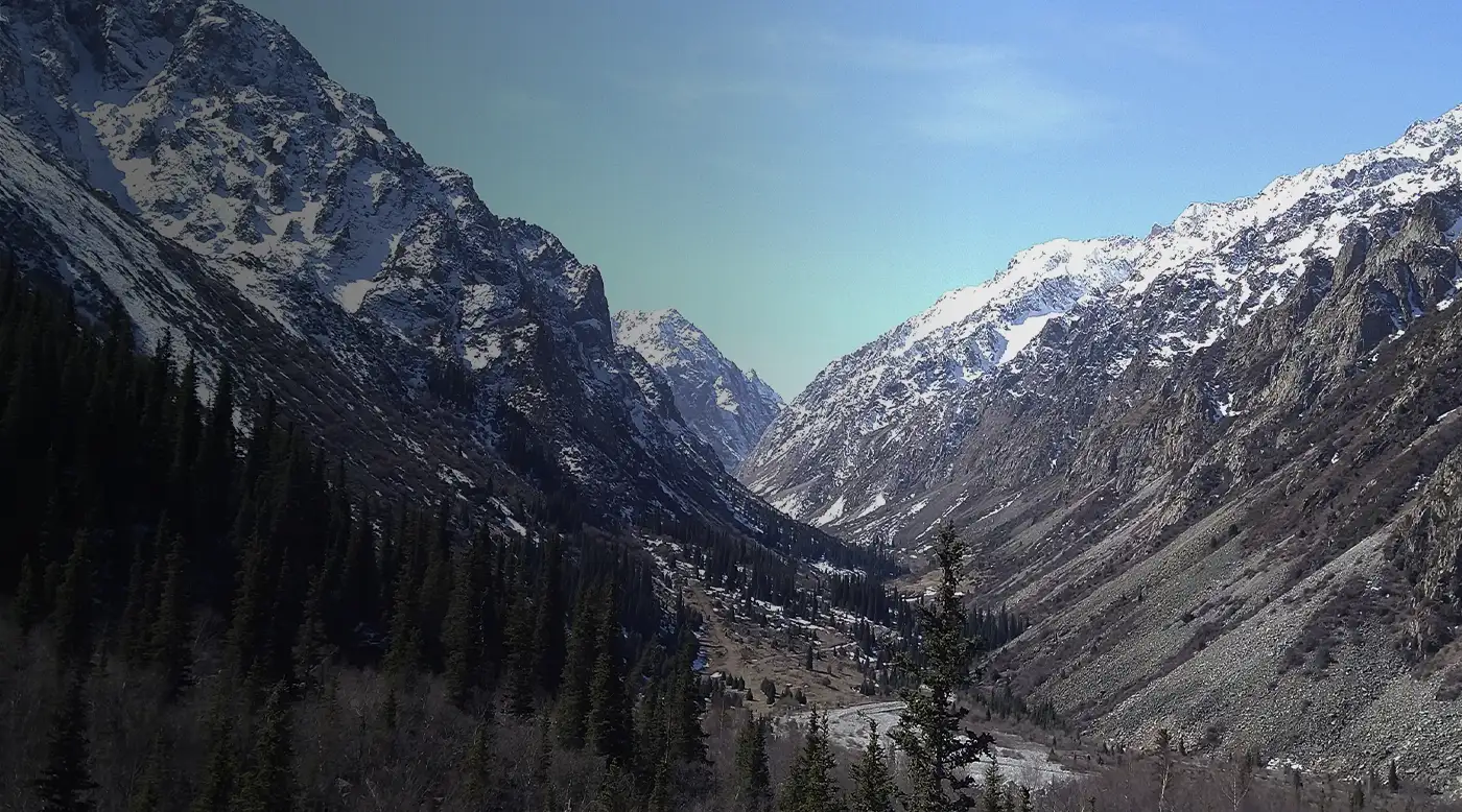
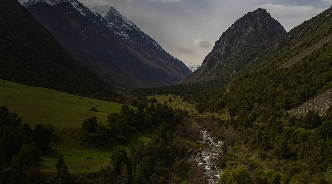
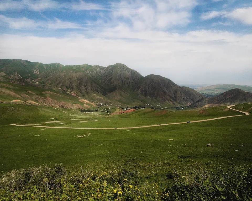
Grigoriev GorgeRiver, lakes and the road across Kok-Bel.Walk beside the river and spruce forest in the lower gorge. The route to the lakes and through to Semenov Gorge needs more time and a road check.
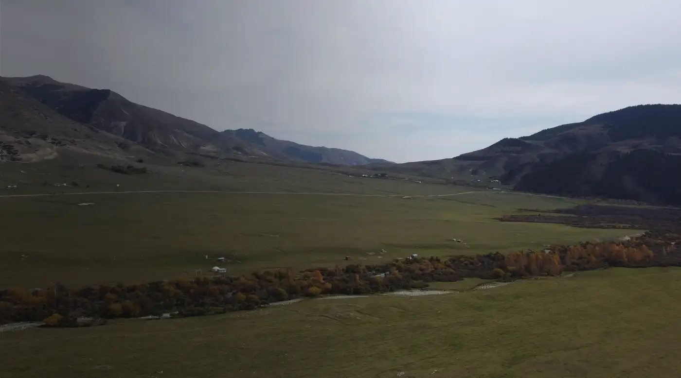
Chon-KeminA national park and broad mountain valley.Visitors come for river scenery, forest and short walks from the valley villages. High-altitude lakes and passes belong to separate multi-day routes.
Semenov GorgeKyrchyn, forest and the route to Suttuu-Bulak.An ordinary car can reach the lower gorge. A walk to Suttuu-Bulak and the crossing to Grigoriev Gorge need separate time and a road check.
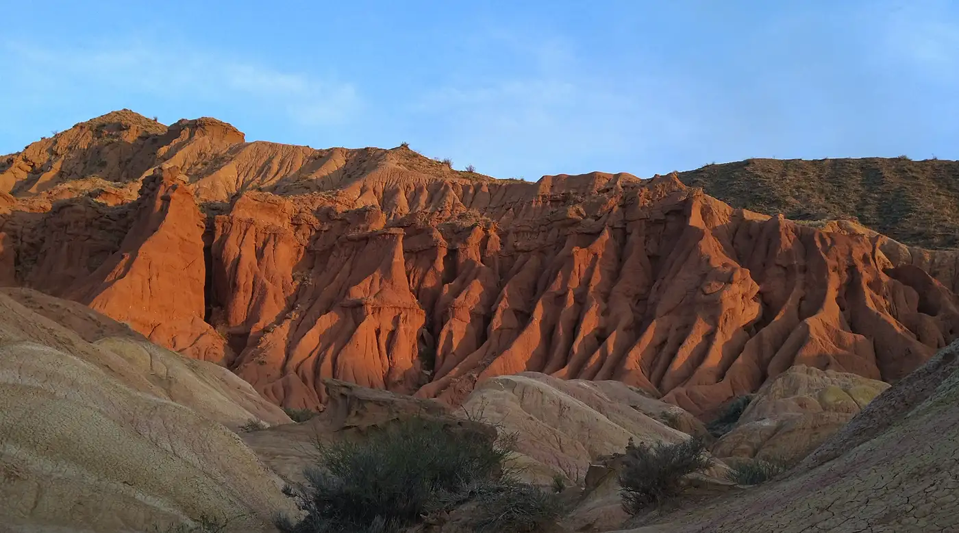
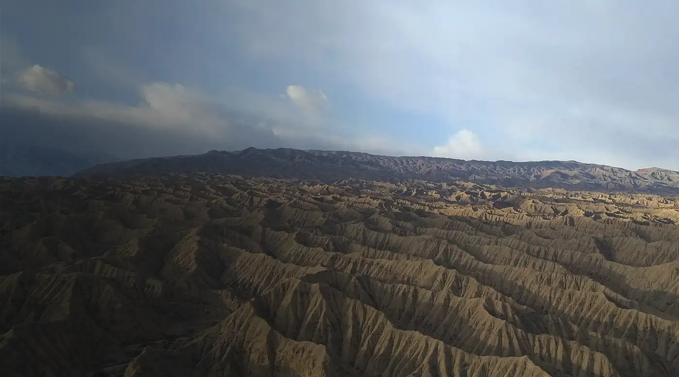
Skazka CanyonColoured ridges on the south shore of Issyk-Kul.The main formations begin close to the car park, so one or two hours is enough for a walk. Loose slopes, heat and rainwater channels require care.
Altyn-ArashanHot springs in a high mountain valley.From Ak-Suu, visitors walk 14 to 15 kilometres or take a local high-clearance vehicle. Guesthouses and private bathing pools operate in the upper valley.
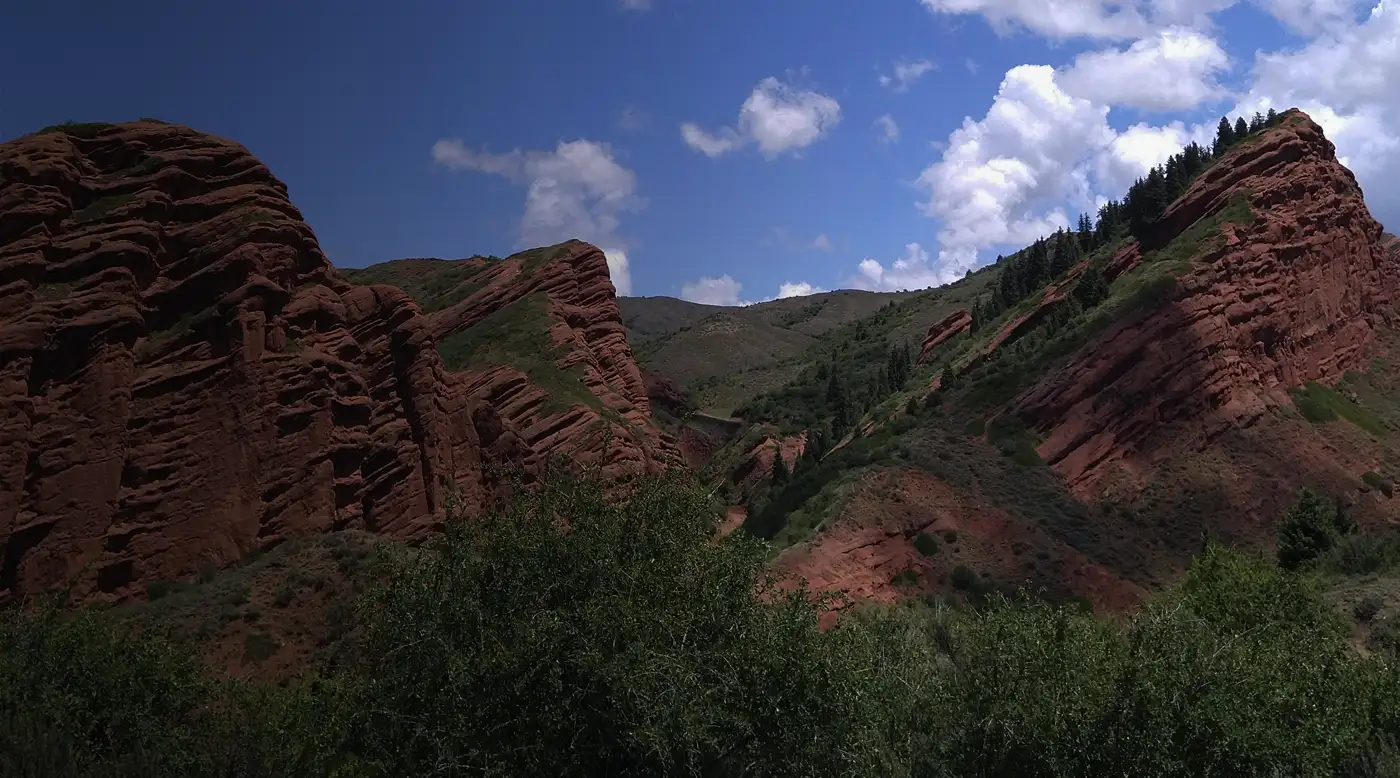
Jeti-OguzSeven Bulls rocks and the green Kok-Jaiyk valley.The red rock formations can be seen in about an hour. Allow another half-day to travel higher into the gorge, walk in Kok-Jaiyk and reach the waterfall route.
ArslanbobWalnut forest, waterfalls and a mountain village.Allow two nights: one full day for the forest and a chosen waterfall, while the road through Bazar-Korgon makes a rushed return trip impractical.
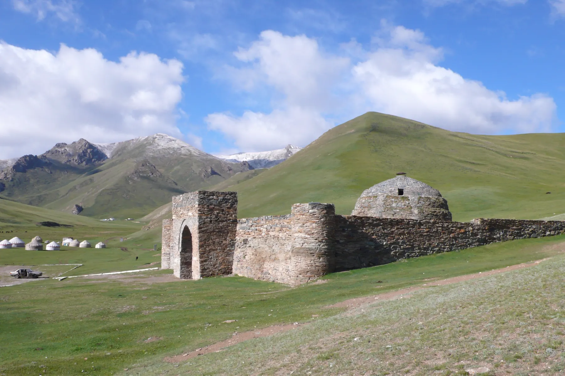
Tash RabatA caravanserai in a high mountain valley.The complex is temporarily closed for restoration. The guide covers reopening checks, the road from Naryn, overnight stays and the boundary of permitted travel.
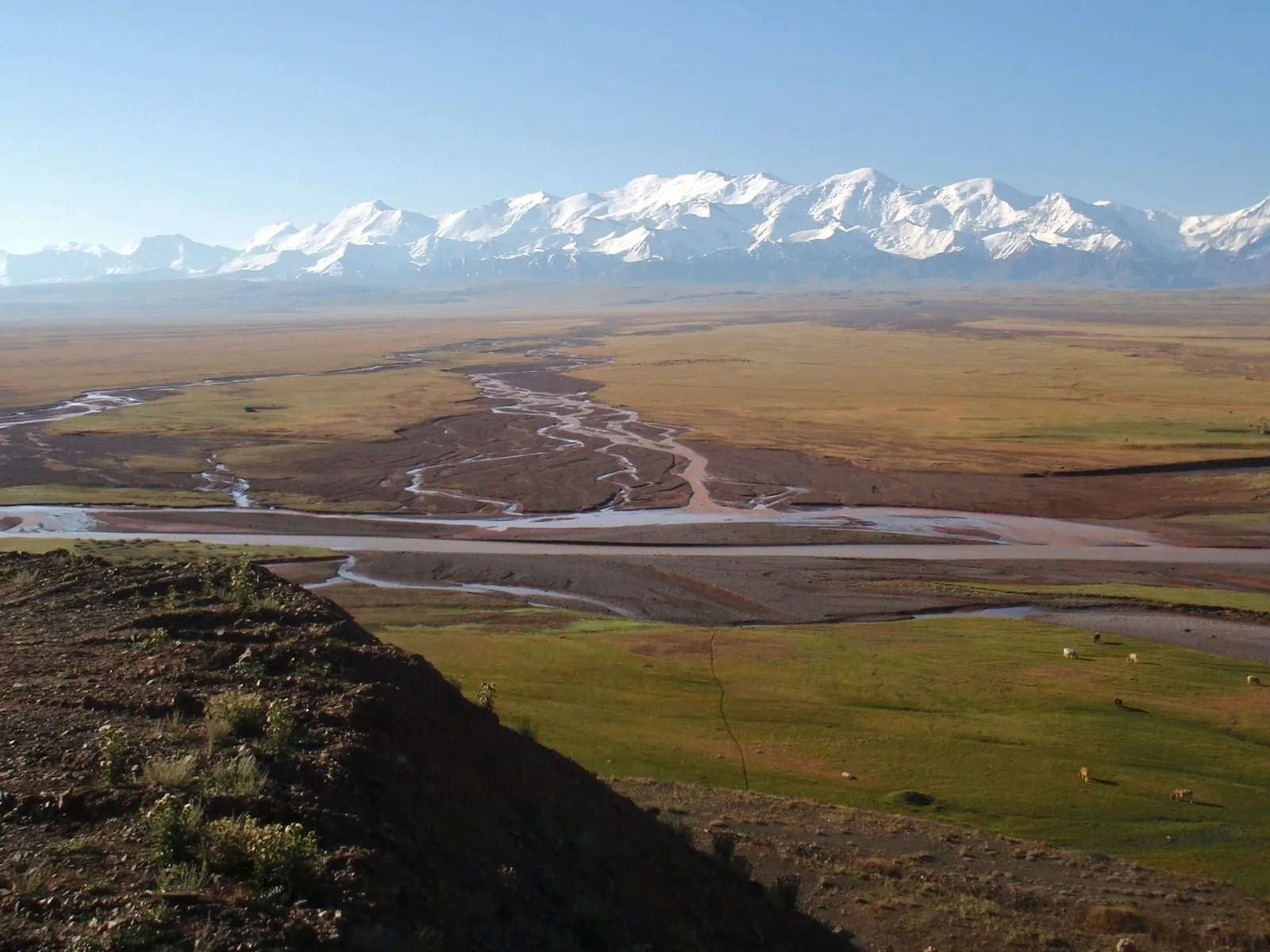
Alay ValleySary-Mogol, Tulpar-Kul and the Trans-Alay Range.Allow three or four days for Taldyk Pass, a night in Sary-Mogol and time at Tulpar-Kul. Any extension to Achik-Tash needs a border-permit check.
Issyk-AtaA hot-spring resort and mountain gorge.A day trip from Bishkek can focus on pre-arranged spa services or a walk above the resort. Longer trails need a separate plan.
Besh-TashA lower valley and high-altitude lake near Talas.The lower valley suits a short outing. The lake at roughly 3,000 metres needs a full day, a local vehicle and a confirmed walking section.
Aigul-TashThe protected slope is closed to visitors until 2030.The guide explains the current closure, protection of the rare aigul flower and accessible alternatives in Batken Region.
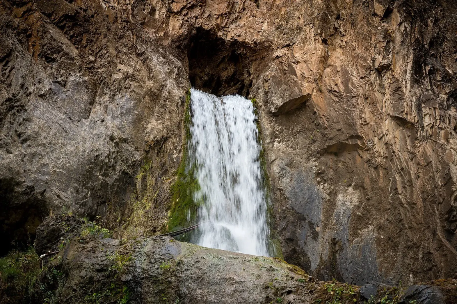
Abshyr-AtaA waterfall emerging from rock and a day trip from Osh.Allow a full day for the gorge and the road from Osh. After rain, confirm the final approach and do not enter the narrows until conditions are declared safe.
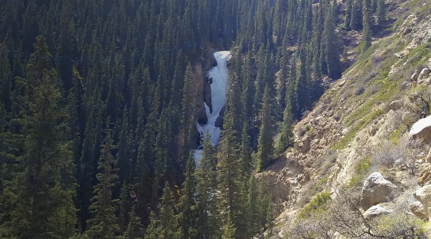
BarskoonWaterfalls and forest south of Issyk-Kul.Paths in the lower gorge lead to a cascade of waterfalls and a monument to Yuri Gagarin. The upper industrial road is unnecessary for an ordinary visit.
Ak-Sai CanyonDry channels and pale slopes by Issyk-Kul.Ak-Sai suits a short walk through dry channels and a trip to the south shore. The final 13 kilometres follow a difficult gravel road.
Ak-Tüz GorgeIndustrial history in a mountain valley.Ak-Tüz grew beside rare-earth processing and mineral deposits. View the valley from public roads and do not enter quarries, waste heaps or tailings areas.
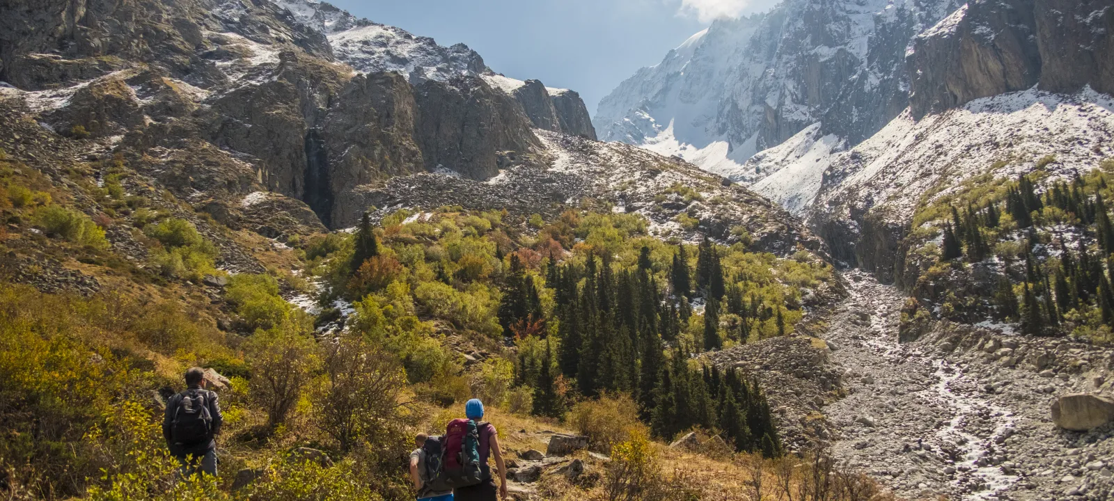
Ala-ArchaAccessible mountain scenery near the capital.Ala-Archa National Park is close to Bishkek and has routes for short walks, trekking and mountaineering.
Ratsek HutA demanding ascent to a climbers’ base.The 5.7 km trail climbs from Alplager to the hut at 3,380 m. It requires an early start, settled weather and either a full day or an overnight stay.
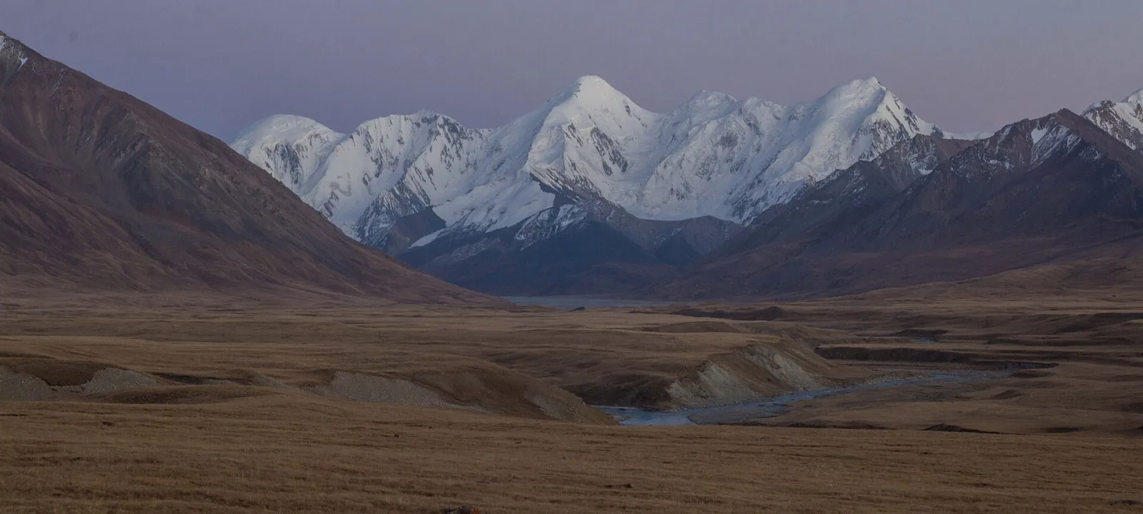
EnilchekA high-altitude road through Sary-Jaz.The village lies roughly 150 kilometres from Karakol beyond Chon-Ashuu Pass. The trip needs a border permit, a suitable vehicle, spare time and a pre-arranged overnight stay.
AlamedinA river valley and the route to Teke-Tor waterfall.A day route follows Alamedin Gorge to Teke-Tor. High mountain lakes and passes require a separate multi-day plan.
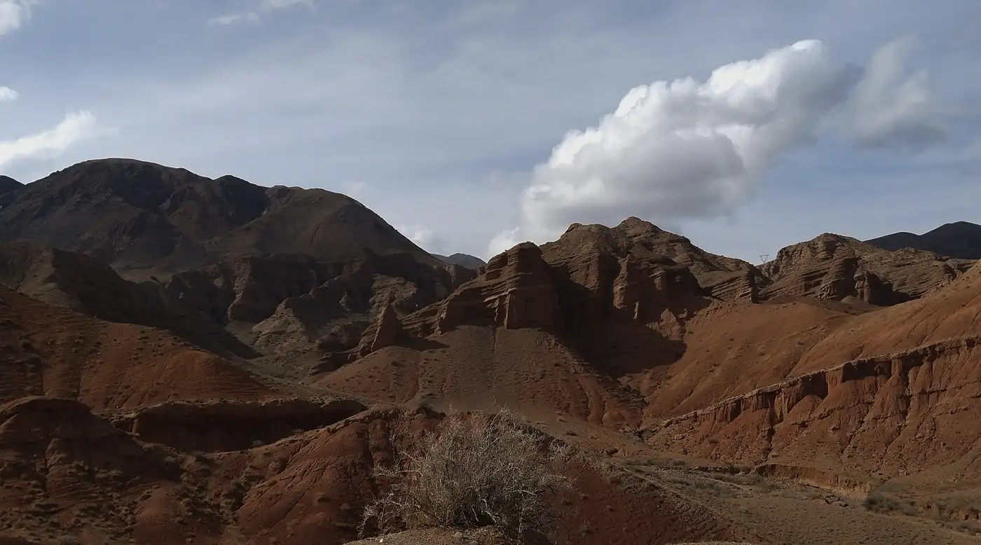
Konorchek CanyonsA large red maze near the Red Bridge.The main red walls are about a ninety-minute walk from the road. The return trip needs four to five hours, water, an offline map and a dry forecast.
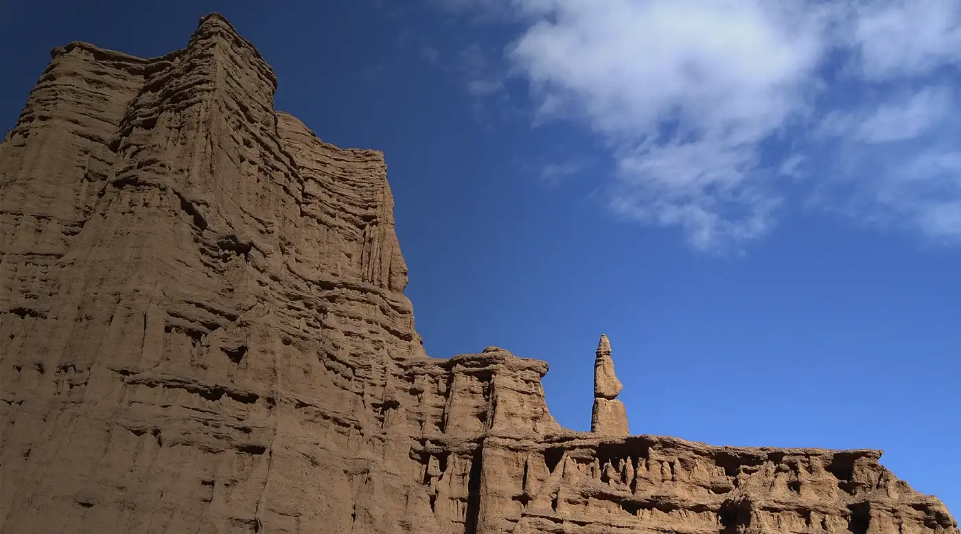
Kok-Moinok CanyonA short route near Balykchy.Kok-Moinok lies roughly 12.5 kilometres from Balykchy. The main sandy formations start close to the car park, but do not enter narrow channels after rain.
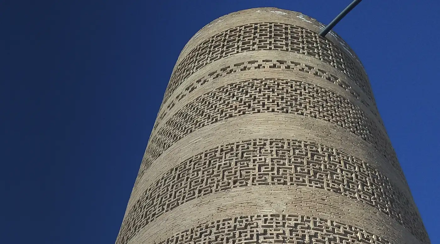
Burana TowerThe minaret of medieval Balasagun.Burana Tower belongs to the archaeological complex of Balasagun. Nearby are a museum, earthworks from the city and an outdoor collection of stone figures.
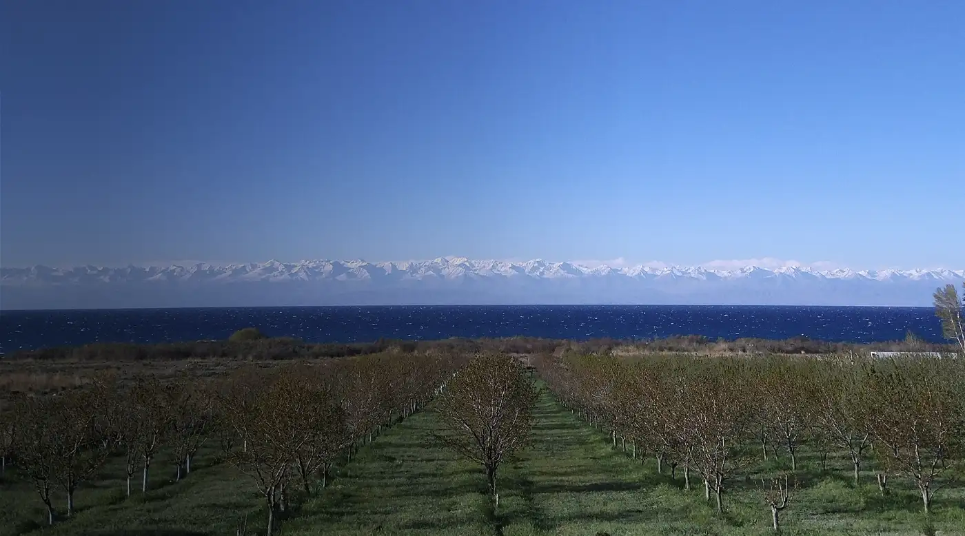
Around Issyk-KulA journey around the lake shore.The circuit connects resort towns, gorges, canyons and historical places on the north and south shores.
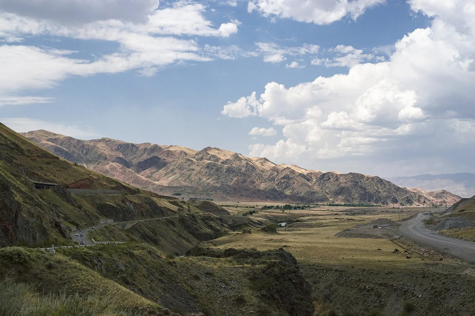
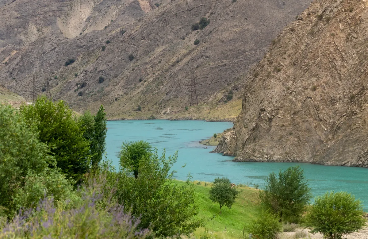
Boom GorgeThe road between the Chüy Valley and Issyk-Kul.The road and railway follow the River Chüy between rock walls. Stop only at established lay-bys and check restrictions after heavy rain or roadworks.
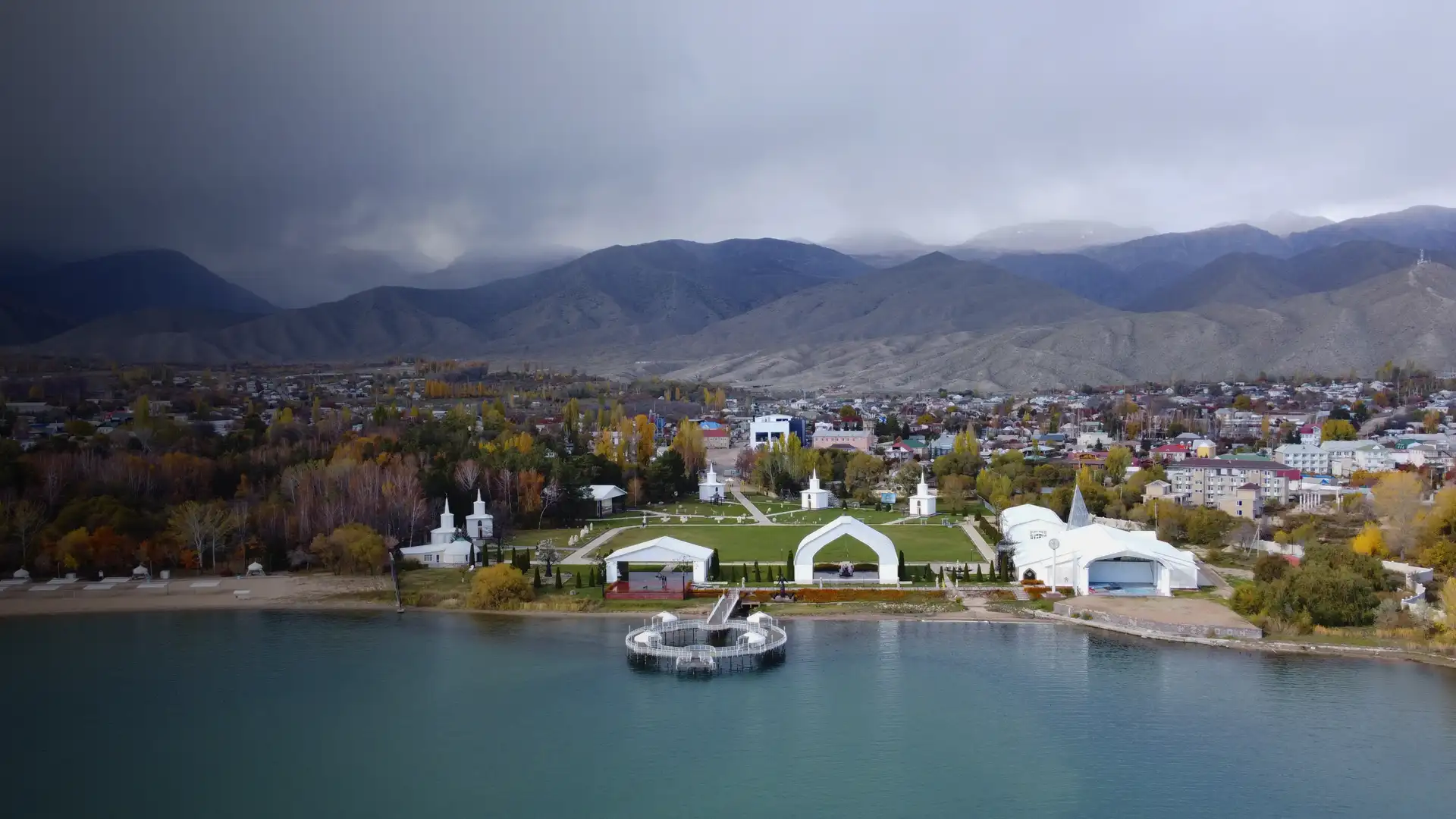
Rukh OrdoAn open-air museum in Cholpon-Ata.Rukh Ordo combines five religious pavilions, monuments to Kyrgyz culture, art and a lakeside walking area.
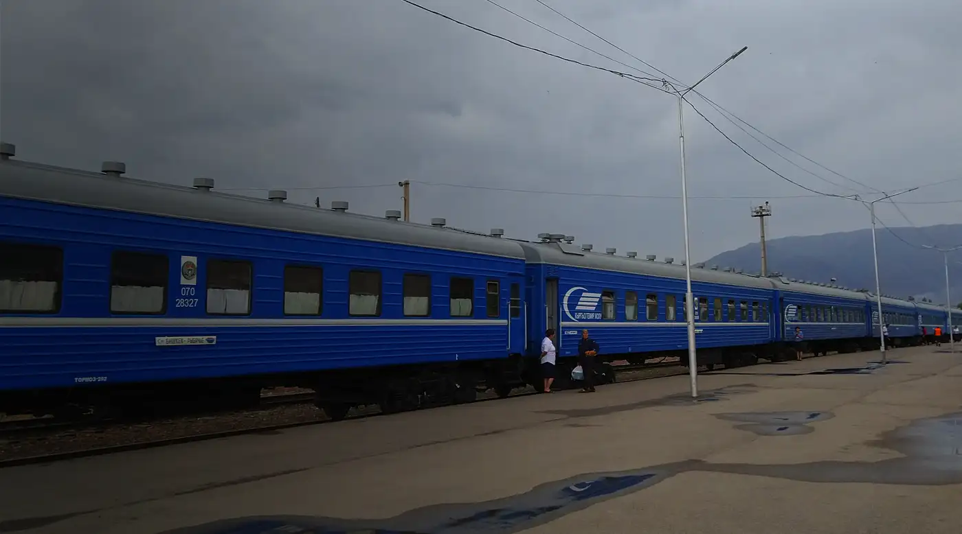
Bishkek-Balykchy trainA scenic railway journey.The train crosses the Chüy Valley from Bishkek to the west shore of Issyk-Kul and provides a calm alternative to the road.
The Bishkek-Osh road664 kilometres across the Tian Shan.A practical route via Too-Ashuu, Suusamyr, Toktogul and Manas, with driving time, roadworks, safe stops and an overnight option.
The alternative North-South road433 kilometres between Balykchy and Manas.The 2026 route via Kochkor, Chaek, Kazarman and the Kok-Art Tunnel: daytime access, cashless tolls, roadworks and rockfalls.
Chunkurchak Gorge and suspension bridgeA short mountain route near Bishkek.The road via Arashan leads to Golubinyi Waterfall, the suspension bridge and broad views across Chunkurchak Valley.
Kara-BulakAn eco resort and mountain routes near Bishkek.Stay overnight, book a walk or horse ride, and spend a day on the slopes near Tatyr. Arrange visitor access and activities in advance.
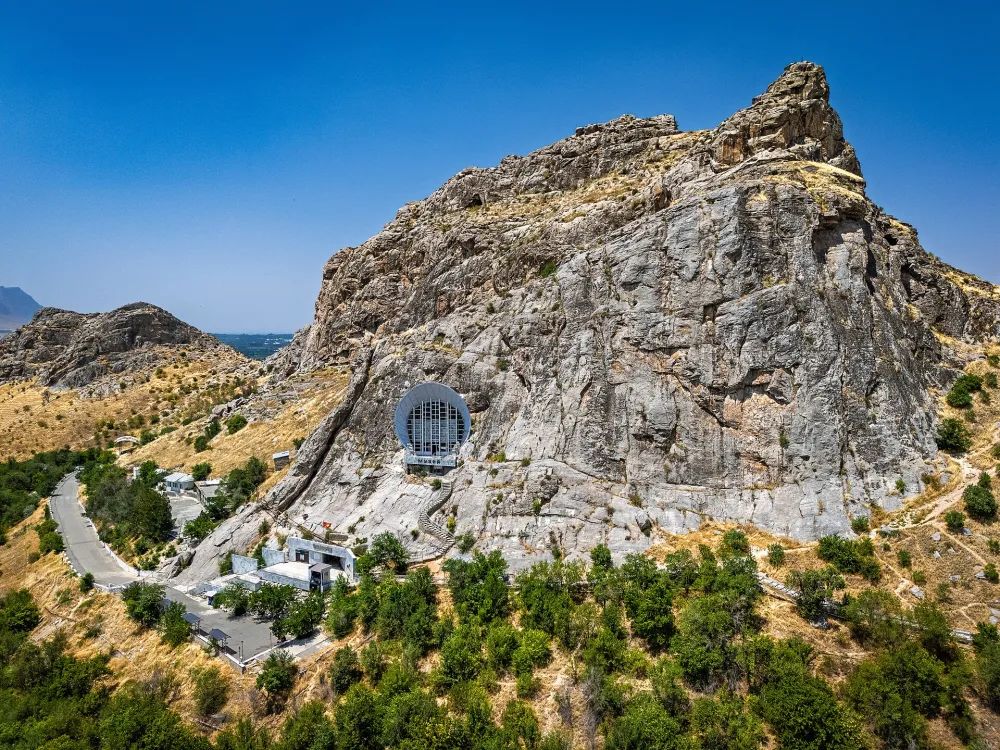
Sulaiman-TooA walk across Osh's sacred mountain.The traverse climbs from the gentler southwest entrance to the cave museum, viewpoints and Babur's prayer cell, then descends the eastern staircase.
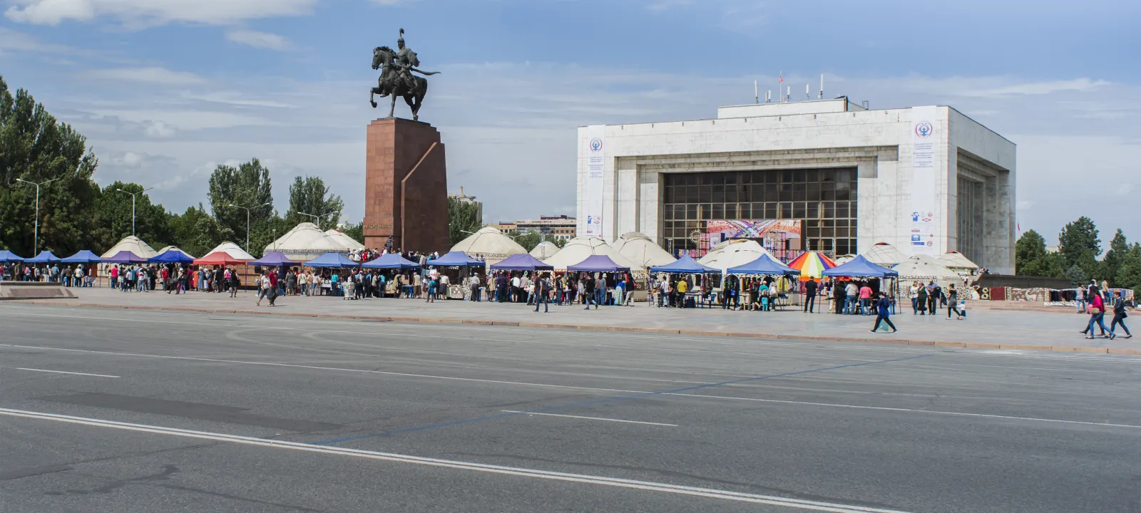
A self-guided walking tour of BishkekA loop through the capital centre.The 5.1 km route links Ala-Too Square, Panfilov Park, Old Square, museums, Victory Square and Erkindik Boulevard.
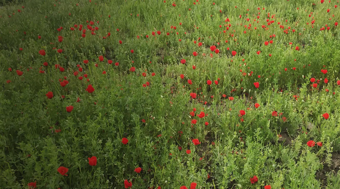
Poppy fields near Gornaya MaevkaA short spring season close to Bishkek.Red islands of poppies appear near Gornaya Maevka in late April and May. The precise plot changes, and private land requires permission to enter.
How to choose a route by time and difficulty
Tip. Set a turnaround time first. If the journey to the starting point takes longer than expected, shorten the walk so that you return in daylight.
For a first outing, choose a route with a clear starting point and an easy retreat to the road, such as Ala-Archa, Sulaiman-Too or Burana Tower. Compare not only walking distance but also access time, elevation gain and places where you can turn back.
A remote valley, high-altitude lake or summit needs its own time margin. Lenin Peak, Enilchek and other expedition routes are not extensions of an ordinary sightseeing day: acclimatisation, preparation, communications and an evacuation plan all matter.
How to plan a lake or mountain-valley trip
Altitude. After a rapid ascent, watch for headache, nausea, dizziness and unusual fatigue. Do not go higher with these symptoms, and descend if they worsen.
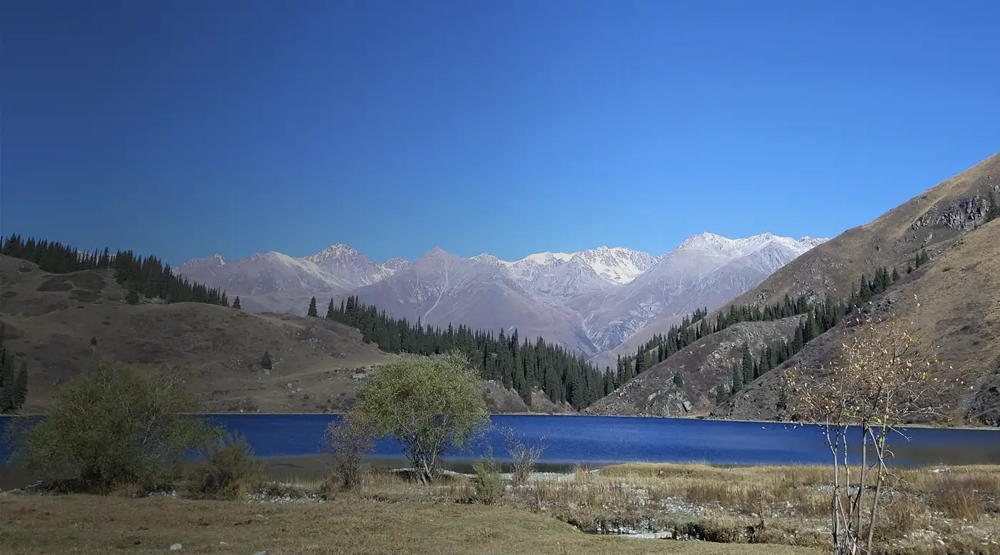
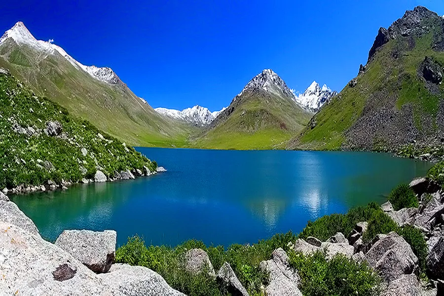
Issyk-Kul makes it easy to combine time on the shore with short outings. Son-Kul, Tulpar-Kul and remote mountain valleys need a different plan: before departure, check the final road section, fuel, accommodation and your option for returning if the weather changes.
If a trail leads to the lake, treat the return as a full part of the route. Do not spend all available daylight on the ascent, and set a point after which you will turn back whether or not you have reached the objective.
When to choose a road trip, historic site or short walk
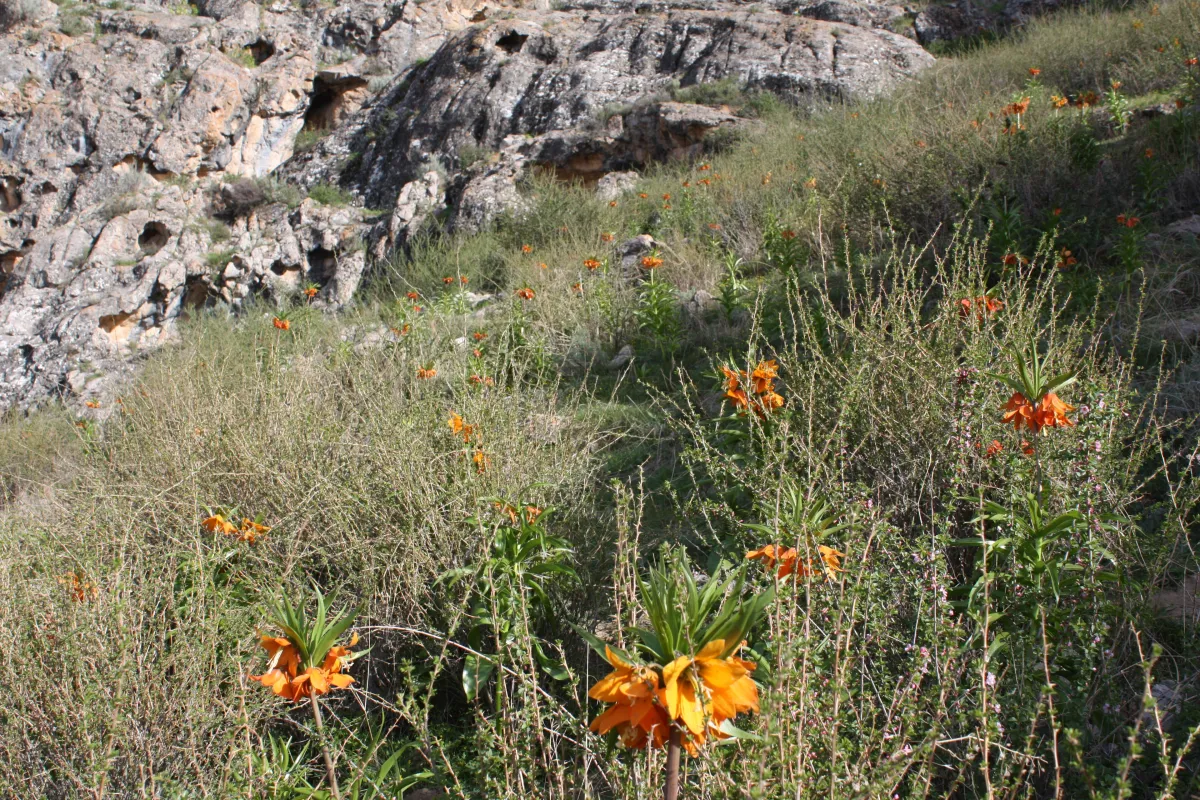
Spring outing. The flowering site near Gornaya Maevka changes. Check recent information and do not enter private fields without permission.
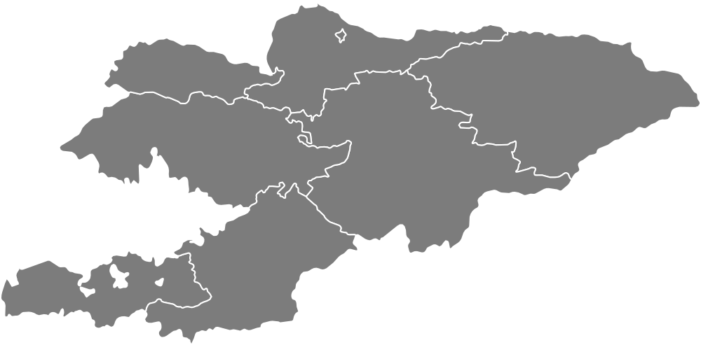
A route around Kyrgyzstan does not have to be a hike. A city loop, historic site, train journey or road trip with planned stops can fill a quieter day. On the map, lines show extended journeys while points mark individual places and gorges.
Nearby points on the map do not always form one route. The Semenov and Grigoriev gorges can be visited separately; the through-road between them depends on the condition of the unpaved section. For any circuit, check each leg before building the complete plan.
Frequently asked questions about routes in Kyrgyzstan
These answers help you assess time, roads, altitude, water and a backup plan before departure.
Where should I start when choosing a route?
Set the time from departure to return, then compare the approach, walking section and altitude. For a first trip, choose a short trail with a clear starting point and an easy place to turn back.
How many places should I combine in one day?
Plan one main route and only one optional stop nearby. The map helps you judge location, but the road, walk, stops and return journey determine the real duration.
Do I need a four-wheel-drive vehicle?
It depends on the final section. An ordinary car can reach the lower parts of some gorges, while rocky roads and high valleys require greater clearance or a local transfer. Check the specific guide and recent conditions instead of relying on navigation alone.
Can I drink from mountain streams?
Treat water from any stream, lake or spring as untreated, even when it looks clear. Carrying your own supply is safer. If you refill outdoors, boil the water or filter and then disinfect it according to the product instructions; a portable filter alone might not remove every pathogen, especially viruses.
How should I account for altitude?
A rapid ascent can make even a fit traveller unwell. Do not go higher if a headache is accompanied by nausea, dizziness or unusual fatigue. If symptoms worsen at the same altitude, descend and seek help.
Is there one best season for every route?
No. The useful season depends on altitude, road surface and the type of trip. Before departure, check the forecast, pass and final-road conditions, and whether the transport or accommodation you need is operating.
What should I check before departure?
Check the forecast, access to the starting point, the final road section, permits for protected or border areas, return transport and accommodation. Download an offline map, save useful contacts and tell someone your plan.
Can I go without a guide?
A short and clear route can be walked independently with suitable preparation and weather. For a remote, unmarked, high-altitude or technical objective, use a local guide or an experienced group and do not enter a difficult section alone.
What should I do if the weather deteriorates?
Turn back before an easy route becomes dangerous. Do not enter a narrow canyon after heavy rain, and do not continue a difficult mountain section in fog, snowfall or a thunderstorm. Use your backup plan.
How do I use the route map?
Points mark individual places and gorges, while lines show roads and circular trips. Select an object, open its card, then read the detailed guide and check current conditions before setting out.
Share on social media
If you found this guide useful, share it on social media. It takes a moment and helps more travellers discover the project. Thank you!
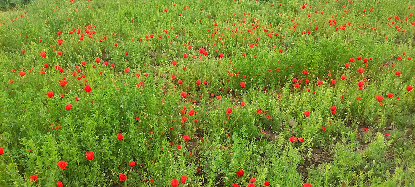 Spring outing. The flowering site near Gornaya Maevka changes. Check recent information and do not enter private fields without permission.