Why visit Chon-Kemin
Chon-Kemin is a good introduction to a rural mountain valley in Kyrgyzstan. Asphalt gives way to local roads, pasture and spruce slopes begin beyond the villages, and family guesthouses provide accommodation. It is not a single viewpoint, so choose a village, lodging or trailhead before you travel.
A day allows a valley walk, a short outing to the forest or a horse ride with a local guide. A weekend can add an overnight stay, home-cooked dinner and longer route. Wildlife does not appear to a timetable: the park protects habitat, but no rare-animal sighting can be promised.
Specialist operators run rafting on the Chon-Kemin only in a suitable season and at a safe water level. Do not arrive expecting to find a boat on the bank. Launching without a guide and rescue equipment is dangerous.
How to get there and choose a base
Central Chon-Kemin is about 140 km from Bishkek. The drive normally takes 2.5-3 hours, first along the Bishkek-Balykchy road, then through Boom Gorge and into Kemin District. Ordinary roads reach the valley villages, but approaches to pasture and mountain trailheads may require more ground clearance after rain.
Guesthouses in Tar-Suu, Shabdan-Ata and nearby villages serve as bases. Book in advance and request a map pin: “Chon-Kemin” covers a large area. Hosts can explain road conditions, arrange a horse ride and describe access rules for the protected zone.
Save an offline map. Reception disappears in the upper valley. Tell your hosts your route and return time even for a short walk.
National park and access rules
Chon-Kemin State Nature Park was established on 13 August 1997 to protect forest, river and high-altitude ecosystems. Its management plan gives an area of 123,654 hectares and an elevation range of roughly 1,400 to 4,300 metres. The park contains zones with different rules, so a road or trail does not imply unrestricted access.
The official park management plan describes walking and horse routes lasting three to thirteen days. Some cross passes above 4,000 metres and require registration or a border permit. They are not simply a “walk to a lake”.
On entering the park zone, ask about fees, permitted campsites and fire rules. Do not drive across meadow, approach herds without their owner or leave food waste. River water may look clean but should be filtered or boiled.
What to see and do
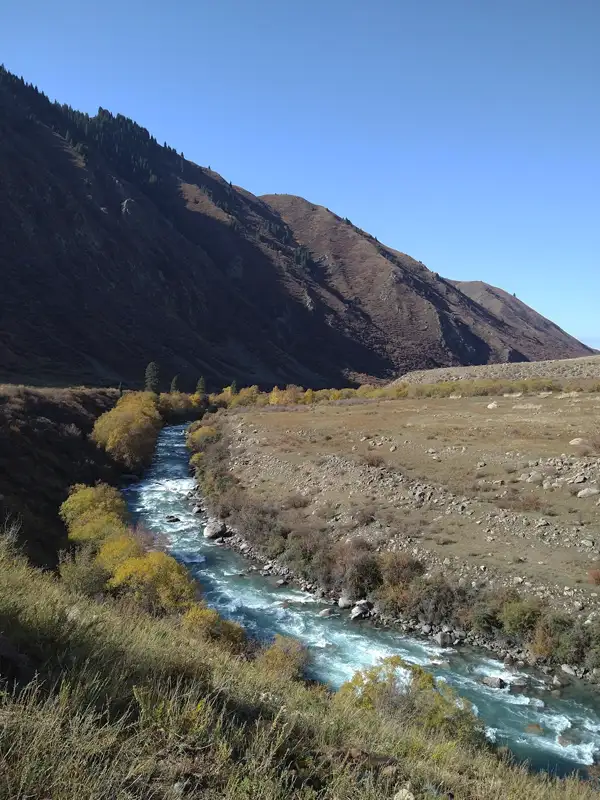 1/4. Chon-Kemin River
 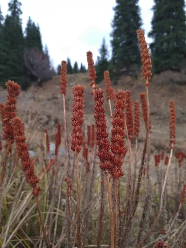 2/4. Valley forest and meadows
 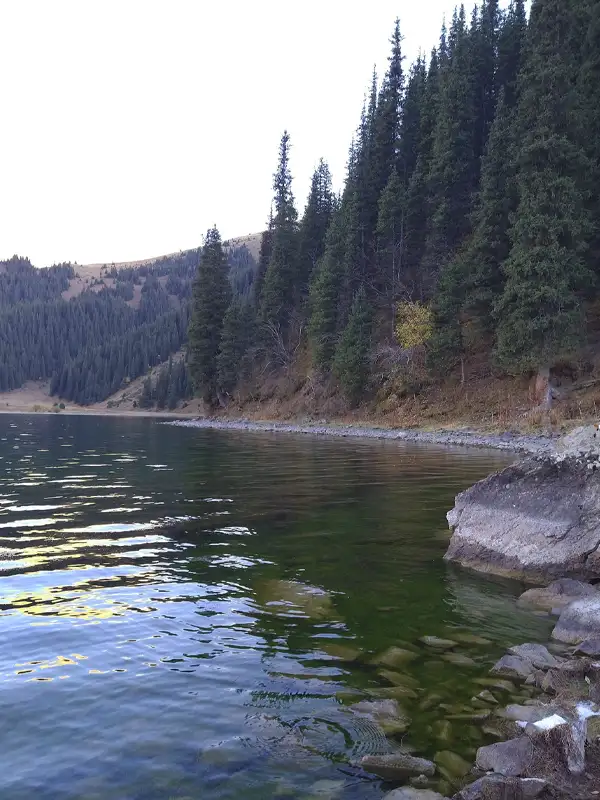 3/4. Lakes on multi-day routes
 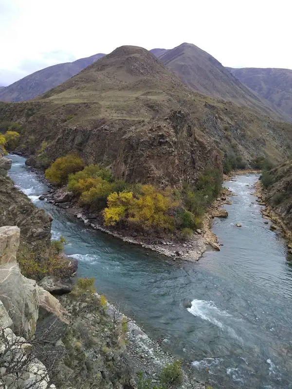 4/4. Valley river scenery
 Lower valley. Villages, fields, river and foothills offer enough for a relaxed day without difficult trekking. Choose stops that avoid private fields and do not obstruct local traffic.
Horse ride. The clearest way to travel above the villages without a multi-day hike. You need a guide, a suitable helmet and an honest assessment of your experience. Do not accept a long route if you have never spent several hours in the saddle.
Kel-Kogur and the passes. The high lakes are not beside a car park. The park plan allows about five days for the route via Kel-Kogur to Toru-Aigyr and about thirteen for a crossing into Grigoriev Gorge over high passes. These require a tent, food, navigation, information about river crossings and a local guide.
Memorial sites. The Shabdan Baatyr memorial complex stands in the valley. Visit it as a place of remembrance: dress modestly, do not cross barriers and follow signs.
The best first visit is simple: arrive at a pre-booked guesthouse, follow an agreed short route, stay overnight and return to Bishkek in the morning. It shows Chon-Kemin without pretending that an immense national park can be “seen in full” in a day.
Share on social media
If you found this guide useful, share it on social media. It takes a moment and helps more travellers discover the project. Thank you!
Anything to add?
Share your experience, leave a comment or suggest an improvement.