Practical guides
Choosing the right transport
Start with three questions: exactly where will you board, where will you arrive, and how will you cover the final section? A ticket to Karakol, Osh or Naryn solves the intercity leg, but it does not take you to a guesthouse, gorge or yurt camp.
Calculate the whole door-to-door journey. Add the wait before departure, baggage, connections, a possible late-night transfer and your fallback to the time inside the vehicle.
For popular routes, first compare a bus, marshrutka and shared taxi. For several remote stops, a suitable car and driver may work better. Between the north and south, compare a flight with the complete road journey. Choose a train only after confirming both stations and the date.
Buses, marshrutkas and shared taxis
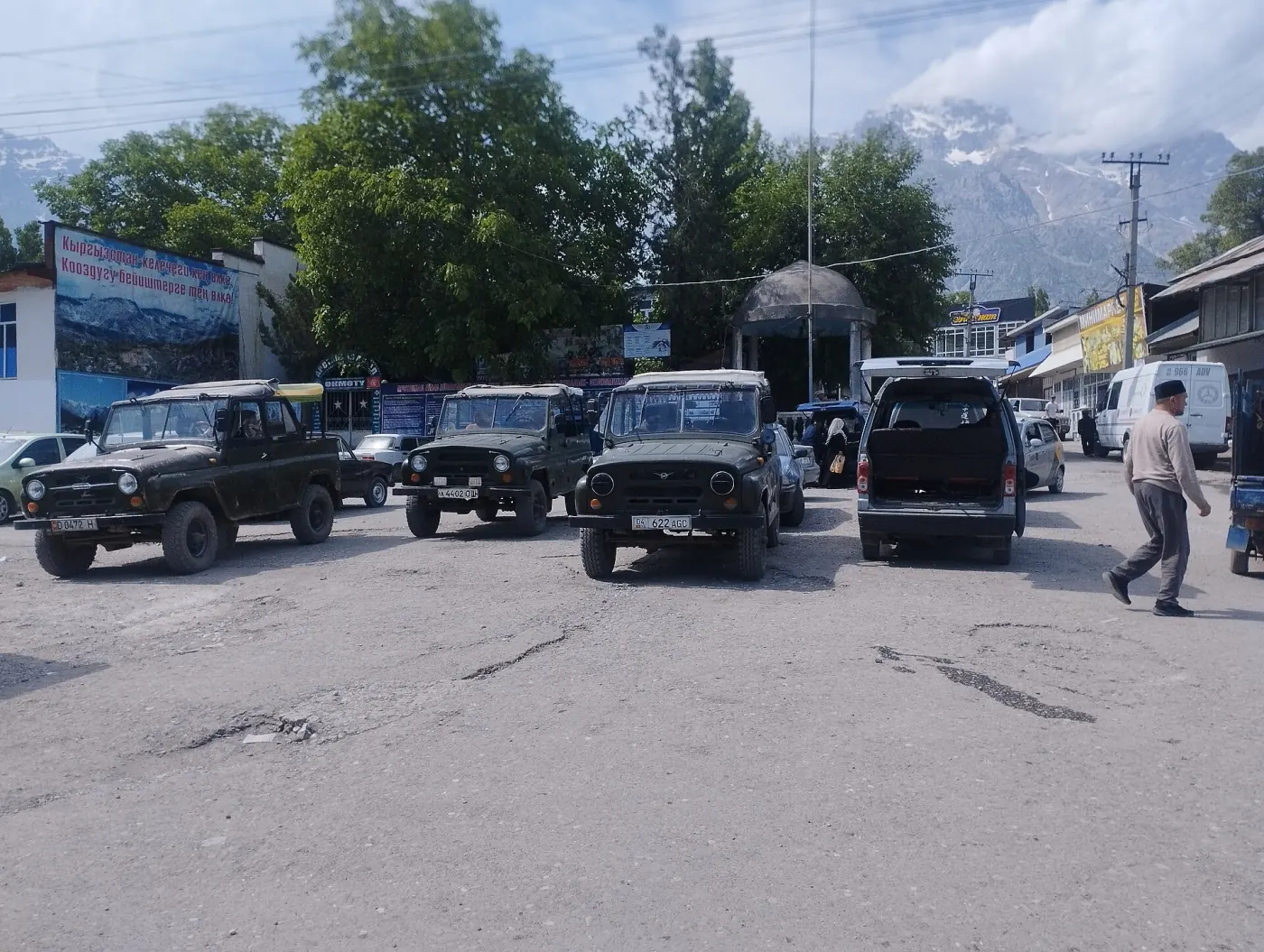
Choose a scheduled bus when the operator confirms the boarding point, ticket and individual seat. A marshrutka is a minibus serving an established direction; boarding arrangements, timing and seat sales vary by route. A shared taxi means that passengers divide one car and pay for individual seats; agree the departure and baggage terms before boarding.
Do not identify the departure point from an old review. Bus stations, marshrutka stands and city traffic arrangements change. Before leaving, confirm the station name, a nearby landmark, the last departure, payment method and whether a large backpack can be carried.
Our guide to intercity buses, marshrutkas and shared taxis explains how to find the correct stand, secure a seat and distinguish your destination from an intermediate stop.
Car hire and travelling with a driver
A car is useful when an itinerary joins several places without direct public transport or finishes far from the main road. It also gives you control over stops, but makes road surface, weather, fuel, parking and driver condition part of the plan.
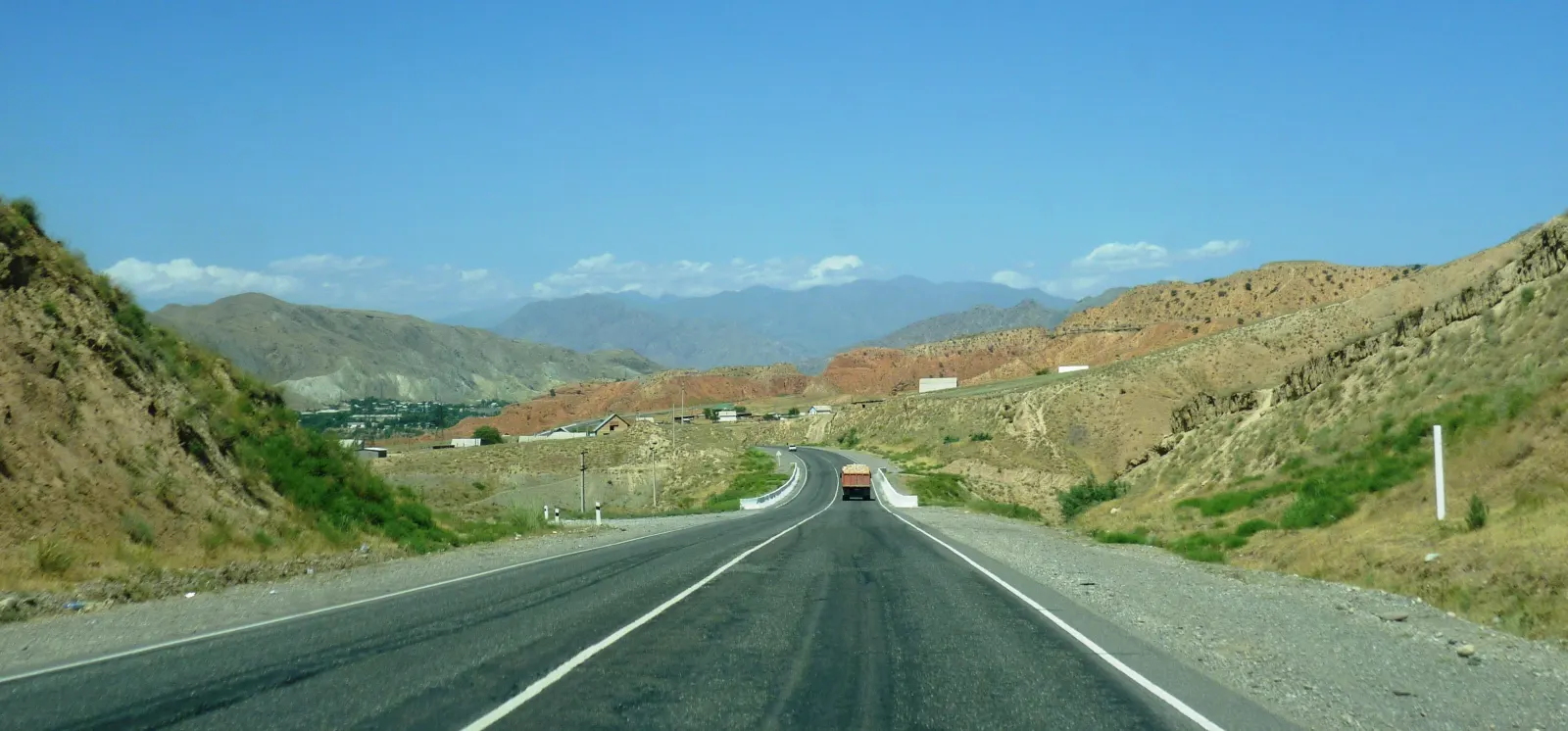
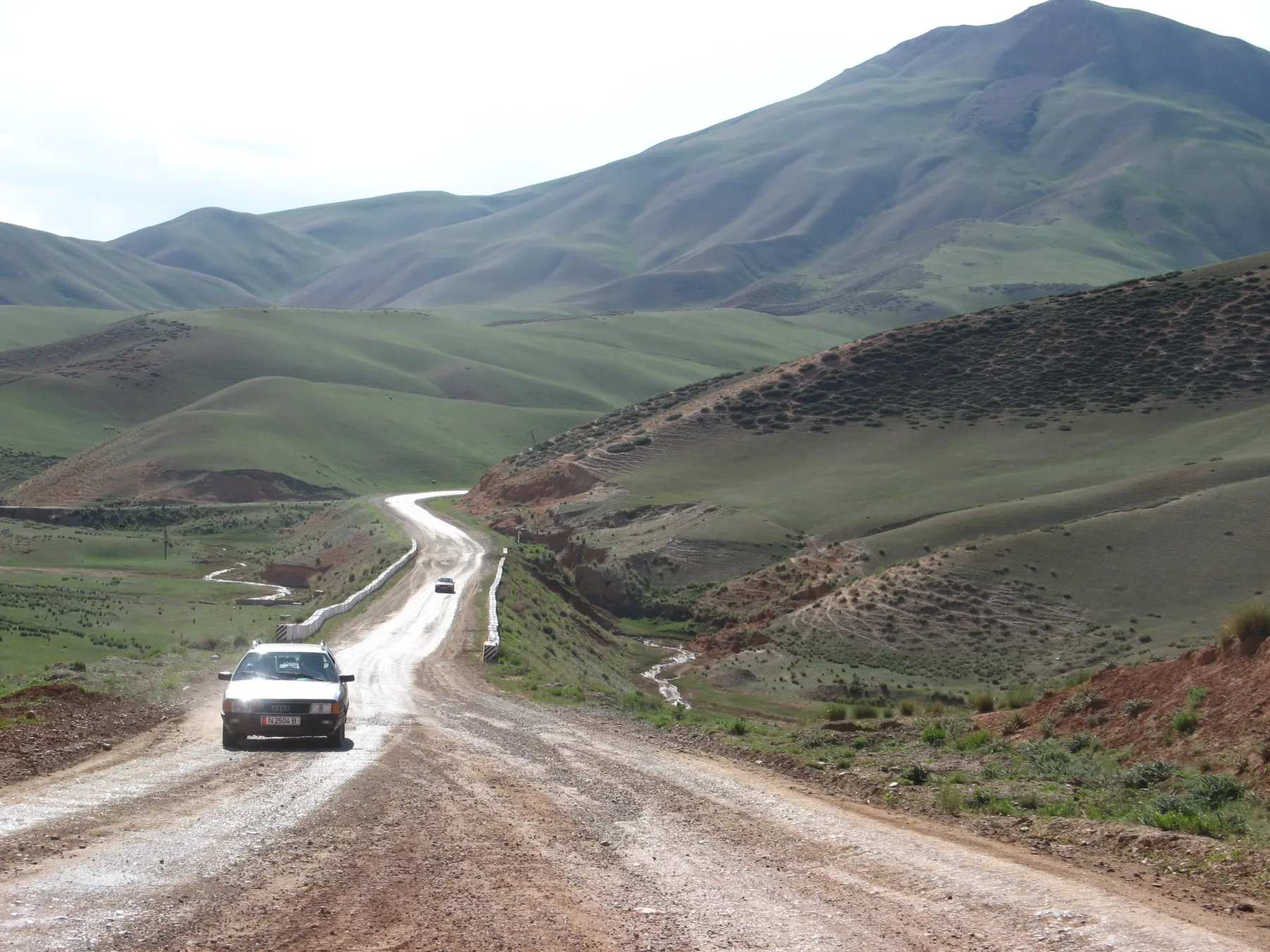
A road name says little about its final section. The main highway may be paved while the approach to a lake, pass or camp is unsurfaced. For each remote destination, ask separately about clearance, four-wheel drive, river crossings and places to turn back. In winter and after severe weather, read the latest Ministry of Transport pass report.
When hiring a car, check the contract, insurance, permitted roads, licence documents, the damage-recording procedure and cross-border rules. Our car-hire and self-driving guide provides the full vehicle and route checklist.
Flights and choosing an airport
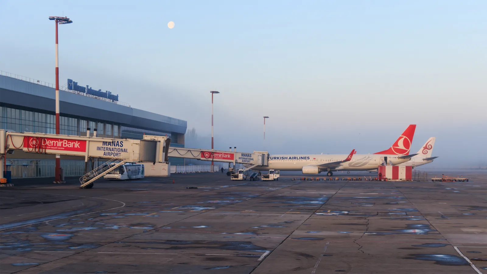
A flight makes sense when it removes a long ground journey and fits the rest of the itinerary. For the south, compare arrival in Osh with the road from Bishkek. For Issyk-Kul, calculate the transfer from Manas, Tamchy or Karakol to your actual accommodation.
A regional airport becomes a real option when a ticket exists for your date. International status, a new runway or an opening announcement does not guarantee a daily service. The interactive map and verification steps are in our guide to airports in Kyrgyzstan.
Train travel
The railway serves a limited set of passenger routes, so it is not a universal substitute for a bus. First find both stations and your date in the official Kyrgyz Railways booking service, then plan how to reach the departure station and leave the arrival station.
Summer, holiday and international timetables can change. An old ticket or last year's guide confirms only a past journey. Treat the new China-Kyrgyzstan-Uzbekistan railway as infrastructure under construction, not as a passenger route across the country.
City transport and the final leg
Within a city, the right option depends on the district, time and baggage. A bus suits a straightforward journey without heavy luggage. A taxi is more practical at night, after a flight or for a group. Save the address in Russian or Kyrgyz and mark the meeting point on a map.
Our guides to Bishkek and Osh connect transport with districts, airports and practical city plans. For a gorge or lake, open the relevant article in the routes section: the final approach matters more there than the national overview.
Checks before departure
- The exact boarding point. Save its name, address and landmark. The words “bus station” are not enough.
- The arrival point. Find out where passengers are dropped and how far it is from the accommodation or trailhead.
- The date and time. Reconfirm them the day before and on the morning of travel, especially for a rare or seasonal service.
- Baggage and payment. Agree a large backpack, bicycle or skis and check whether you need cash.
- A time buffer. Do not place a rare marshrutka, mountain crossing and international departure back to back.
- A fallback. Keep the accommodation contact, an alternative car and the cancellation or road-closure plan.
Our travel-safety guide covers documents, communication and practical decisions when the journey changes unexpectedly.
Share on social media
If you found this guide useful, share it on social media. It takes a moment and helps more travellers discover the project. Thank you!
Anything to add?
Share your experience, leave a comment or suggest an improvement.