The Tian Shan and Pamir-Alay: choosing the type of trip
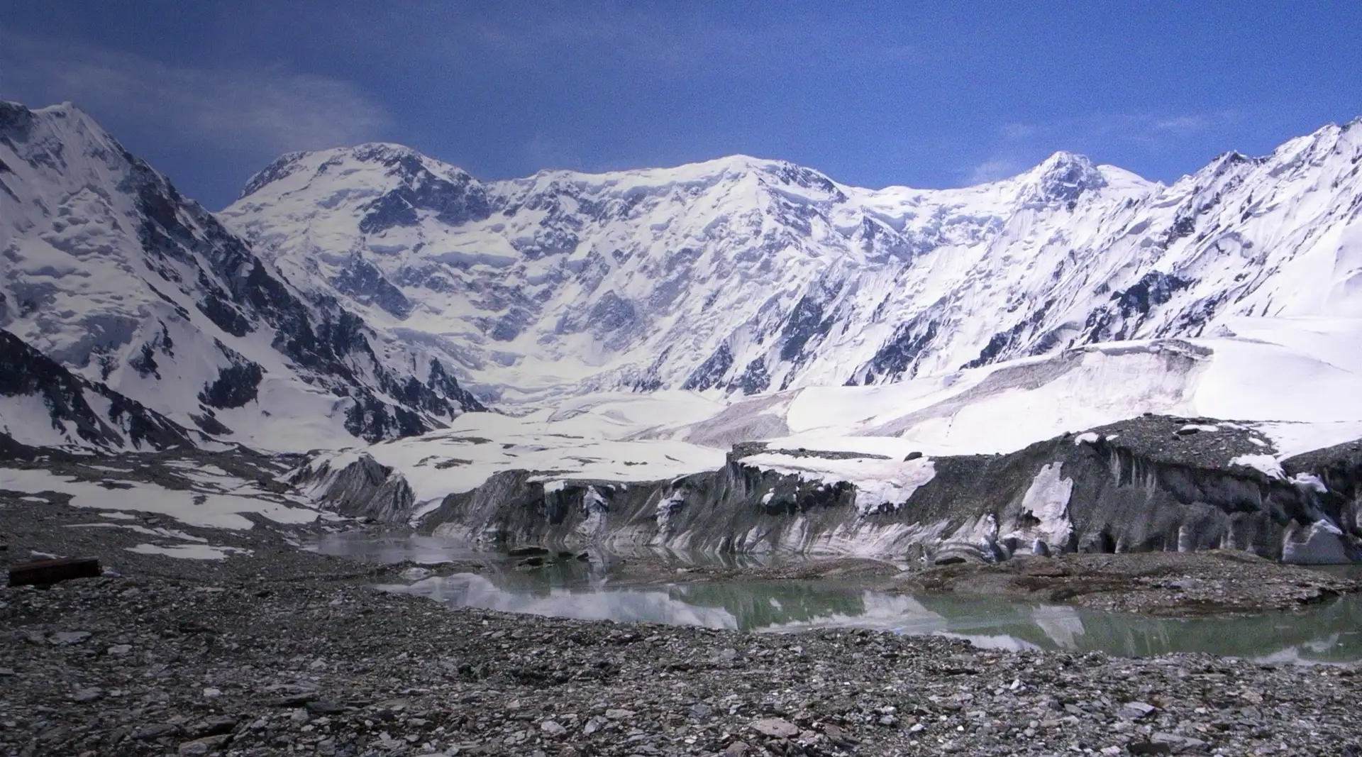
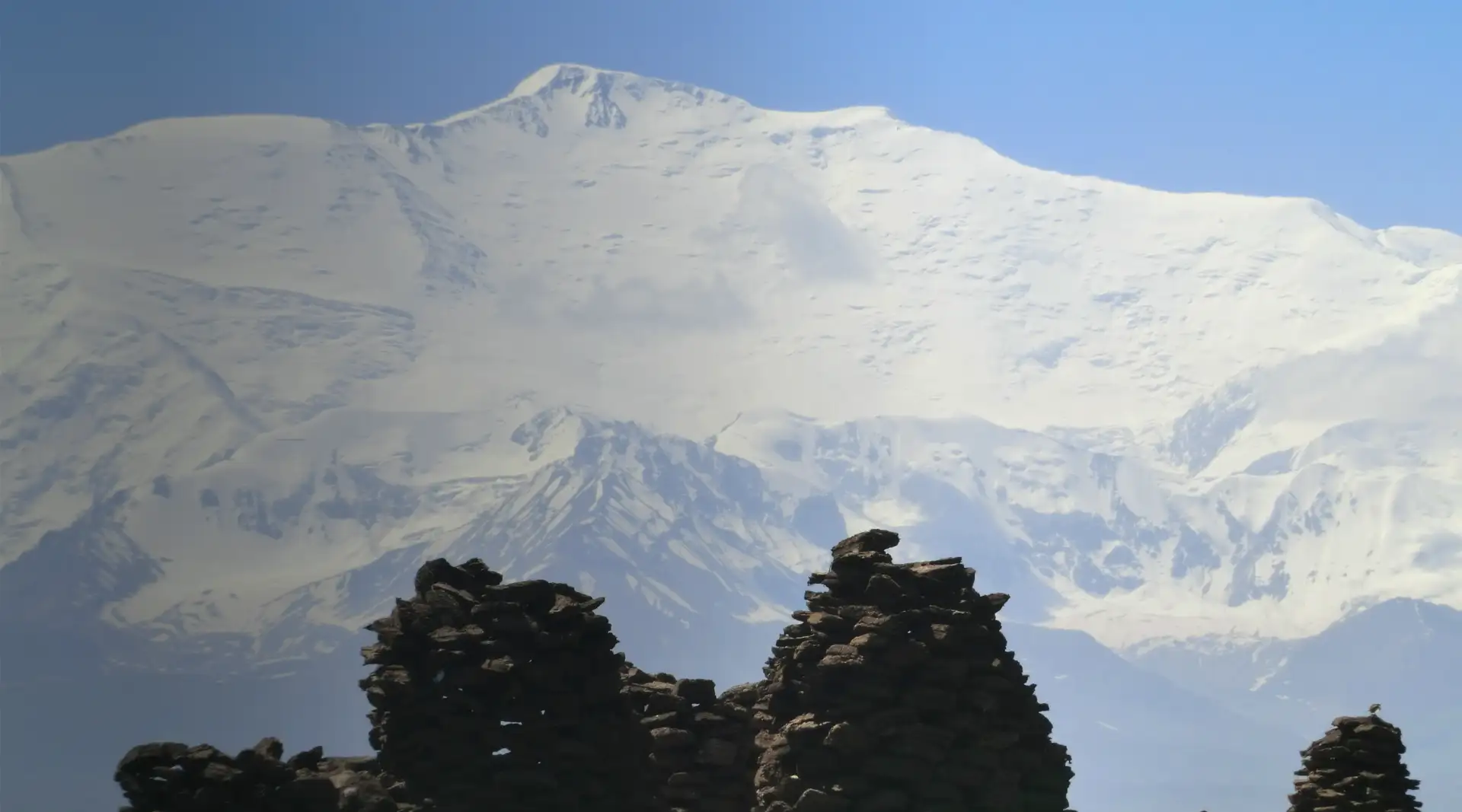
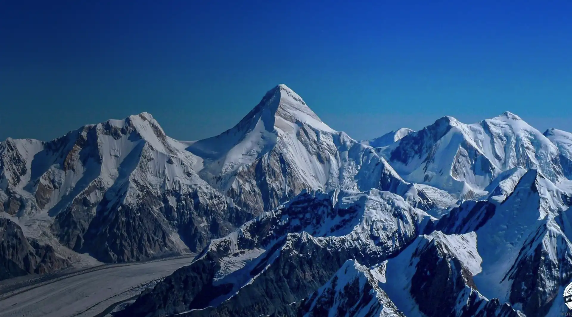
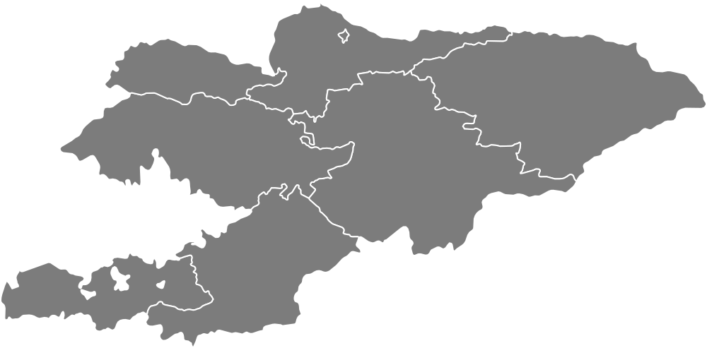
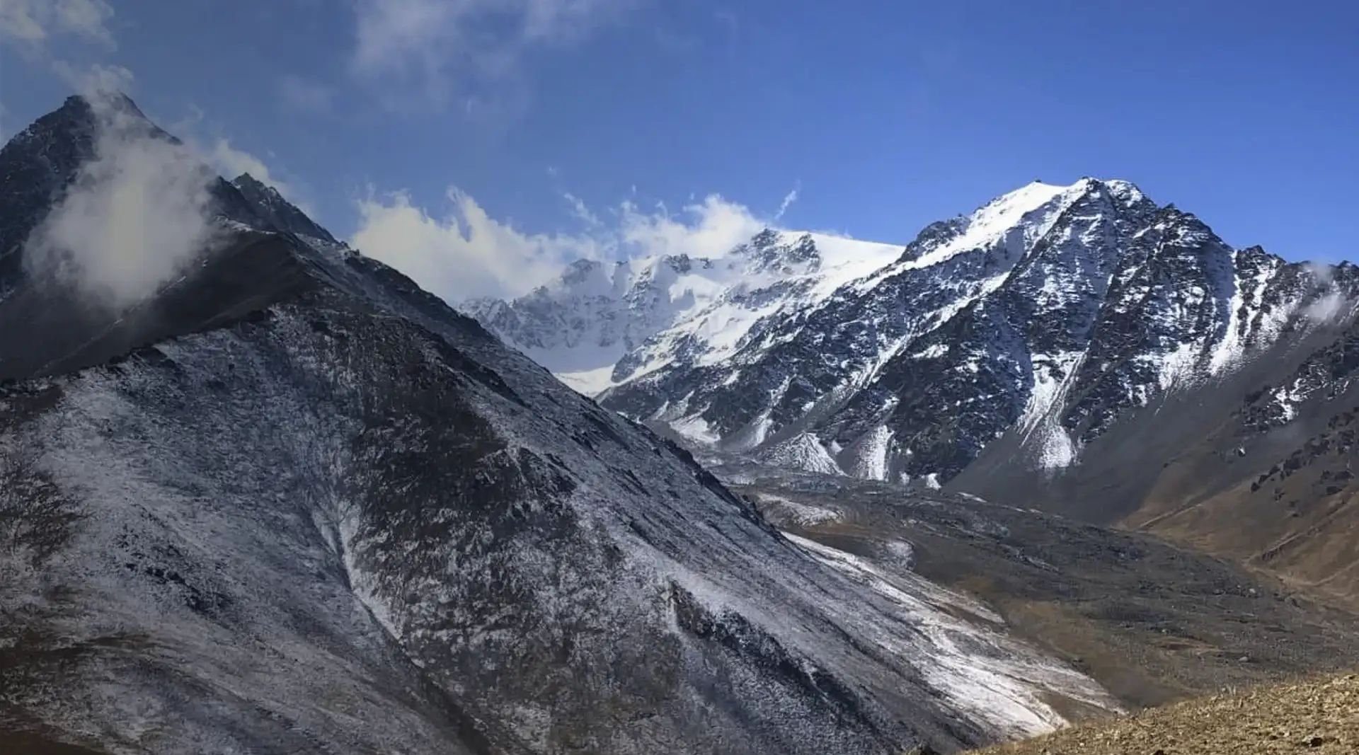
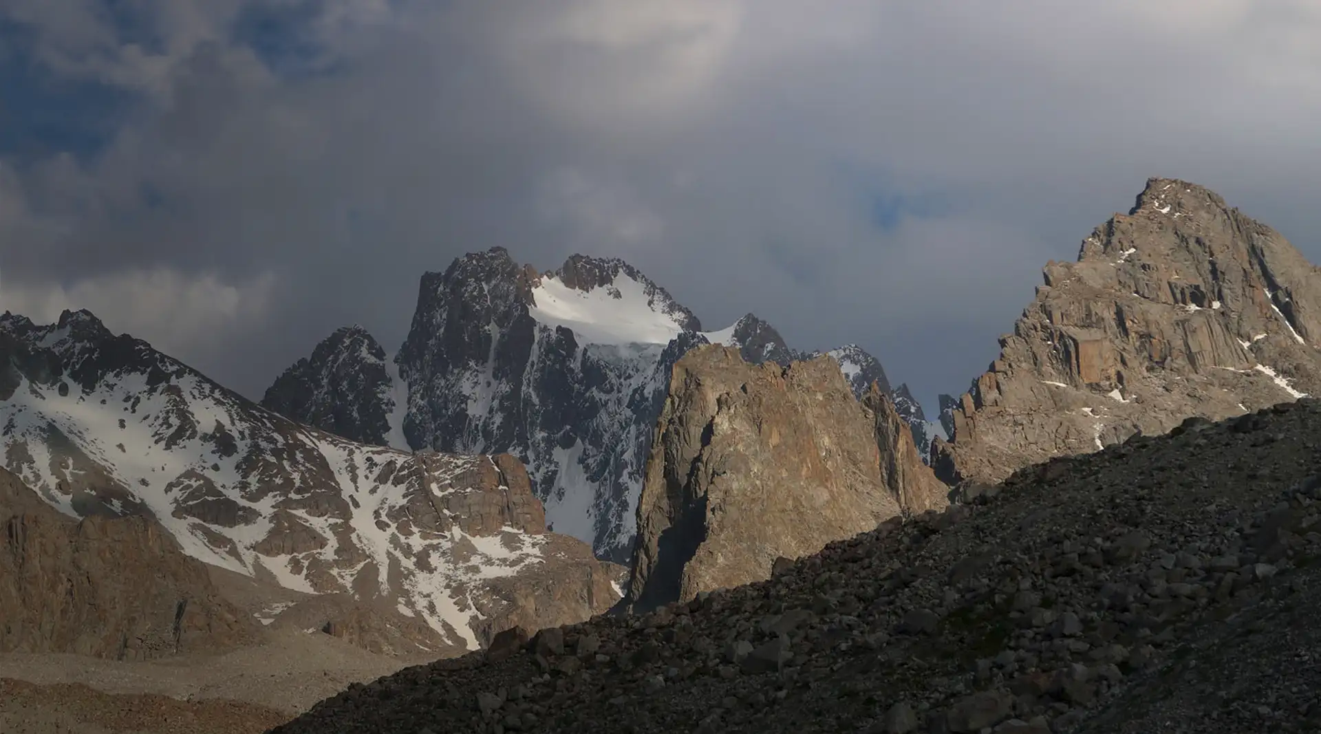
Two mountain systems. Most of Kyrgyzstan lies in the Tian Shan, while the south reaches into the Pamir-Alay. Victory Peak and Khan Tengri belong to the Central Tian Shan; Lenin Peak rises in the Trans-Alay Range of the Pamirs.
The map shows geography, not difficulty. A marker may represent a ski area, the start of a valley trail, a base-camp area or a summit reached only by a full expedition. Choose the type of trip first, then open the guide to the specific place.
For a first mountain day, choose an accessible valley near Bishkek. To see a major summit without climbing it, travel to the Alay Valley and the Achik-Tash area. Our Tian Shan guide compares the northern gorges, the Naryn highlands and the remote expedition terrain in the east.
Approaching a seven-thousand-metre peak and climbing it are different trips
Safety. A guide organises the group and supports decisions but cannot remove altitude, weather, avalanche or crevasse hazards. Accompaniment does not turn a seven-thousand-metre peak into a beginner route.
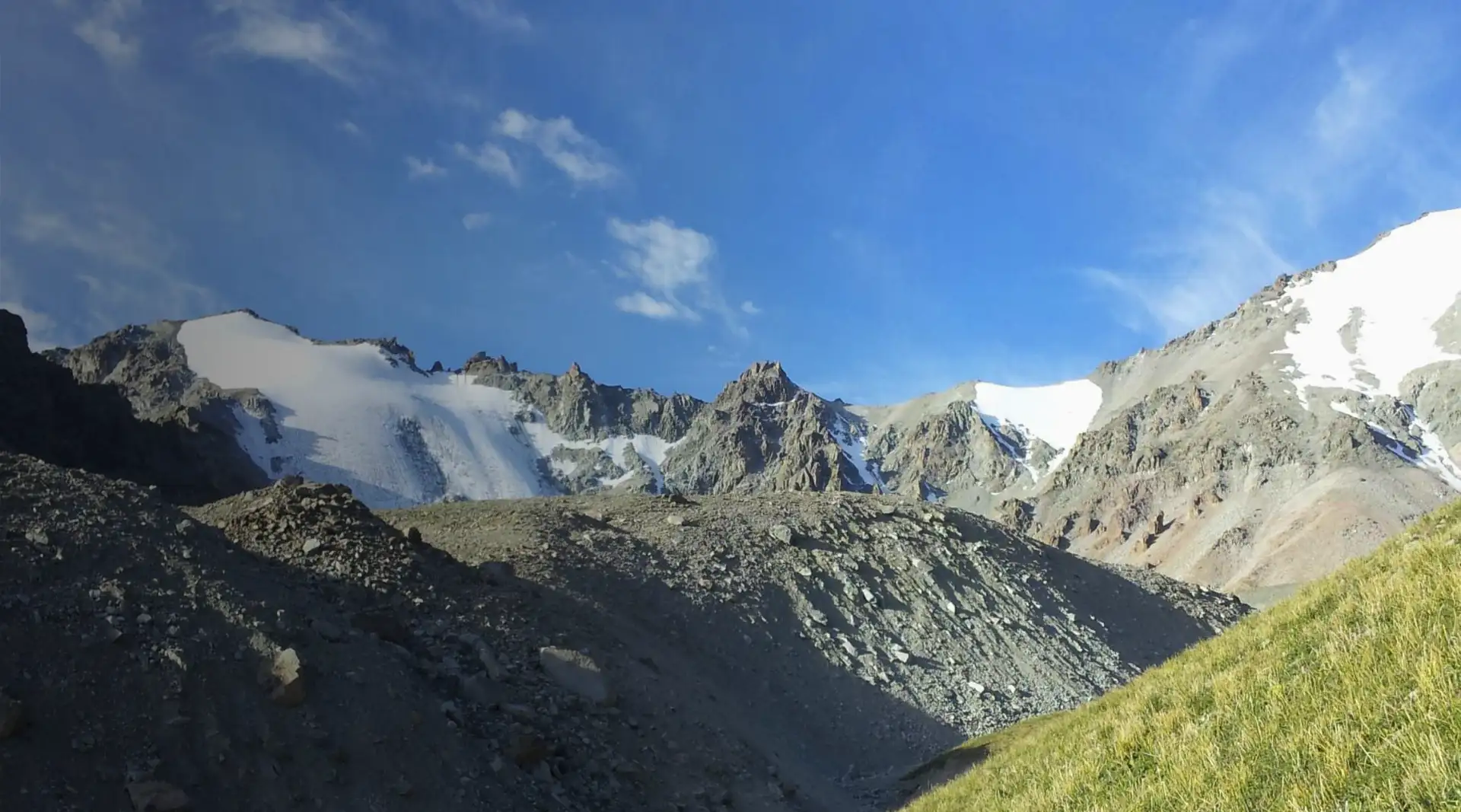
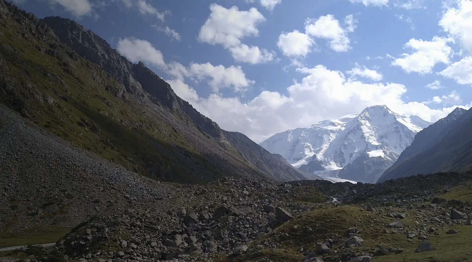
Travellers visit the foot of Lenin Peak without a summit objective. Around base camp, you can see the Trans-Alay Range and walk through the accessible part of the valley. Ordinary trekking ends beyond this area: the high-altitude route enters glacier terrain and requires different experience, time and equipment.
Victory Peak at 7,439 metres and Lenin Peak at 7,134 metres demand acclimatisation and high-altitude expedition experience. A summit card introduces the place; it does not replace a route description, a check of current conditions or an assessment of a participant’s readiness.
From a mountain walk to an ascent
Tip. A map on your phone is not preparation. Before starting, check the ascent, route grade, forecast, equipment and turnaround time.
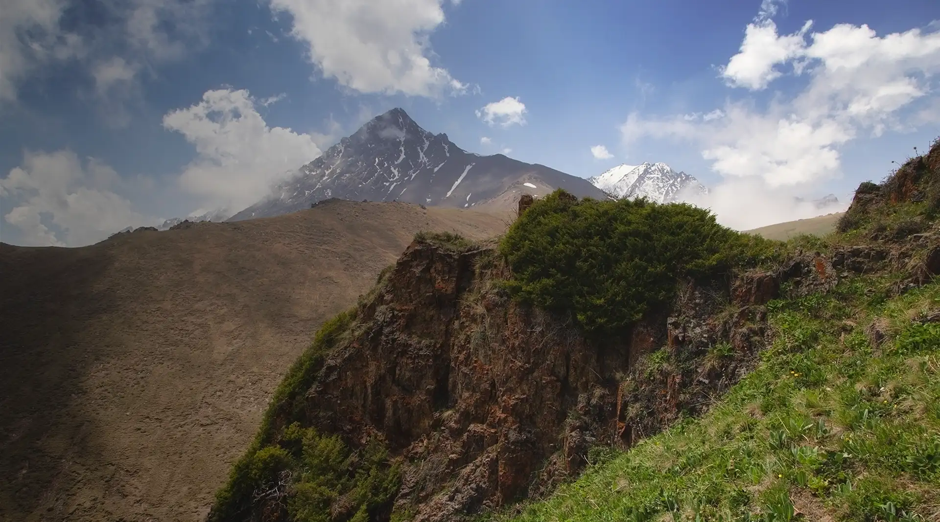
Accessible valley. For a first mountain experience, choose a trail in Ala-Archa National Park or a walk at Chunkurchak that suits the day’s weather. Set a turnaround time and do not let a walk become an unplanned attempt to continue higher.
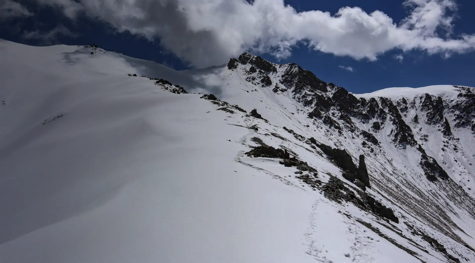
Long mountain day. Elevation gain, duration, water, navigation and the return route now matter. Summit height alone does not describe difficulty: steep ground, scree, snow and poor visibility can change the nature of a route.
Graded ascent. A 1B label in the cards refers to a mountaineering route, not an ordinary walking trail. Plan a first attempt with an instructor, a training group, suitable equipment and a fixed turnaround time.
High-altitude expedition. A seven-thousand-metre peak requires a separate cycle of training and acclimatisation. Experience on day hikes helps, but it does not replace glacier travel, rope-team skills or decision-making at high altitude.
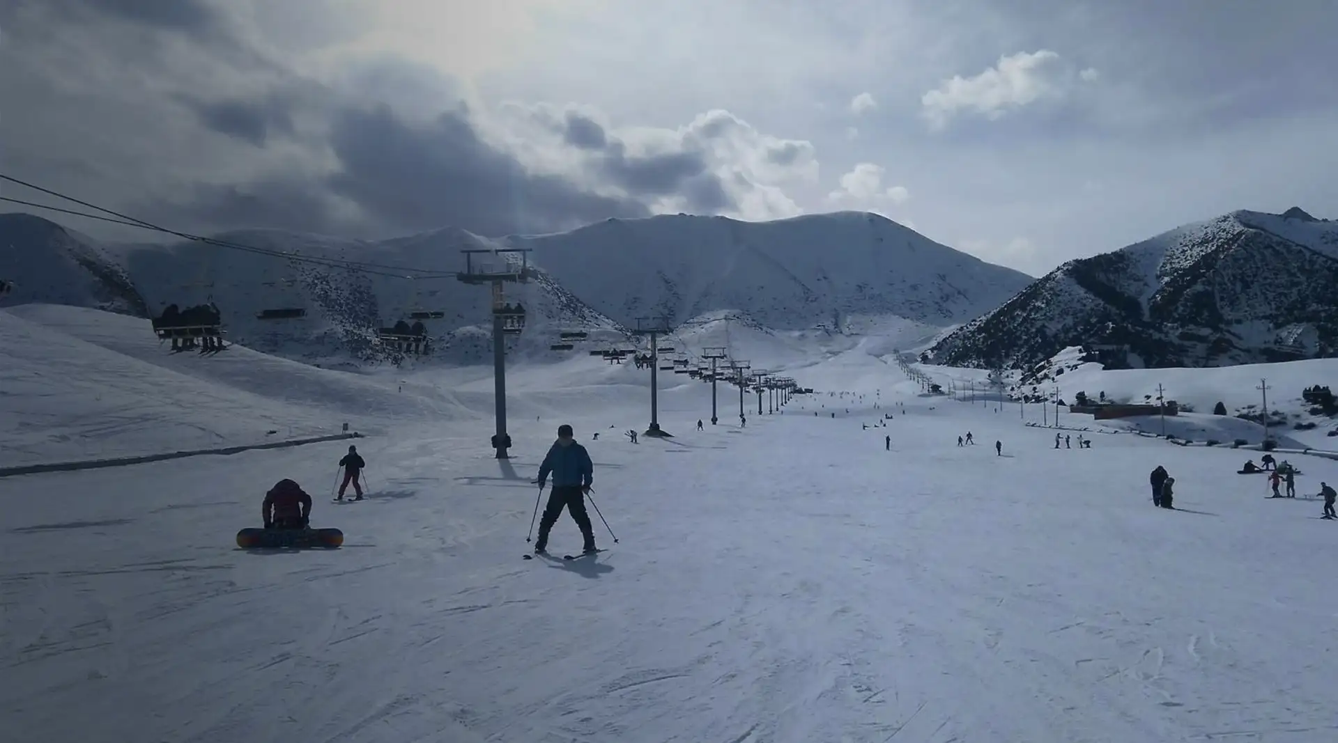
Ski areas: choosing where to go
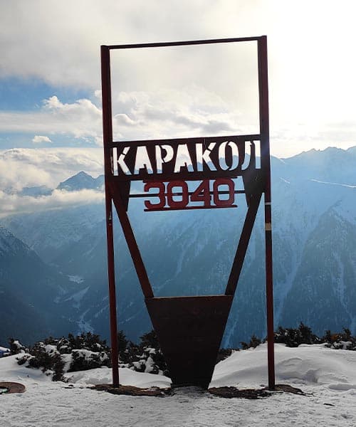 Photo. The top of a ski run at Karakol.
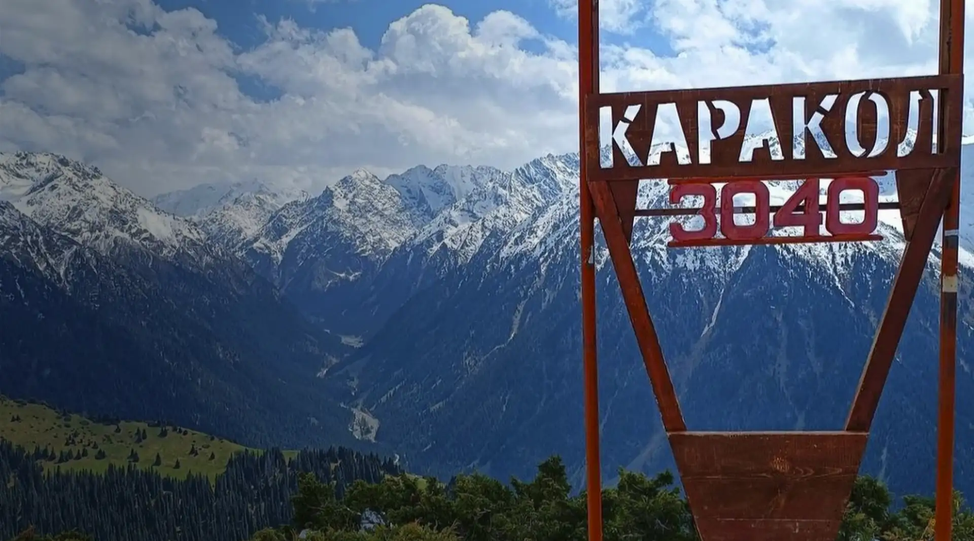
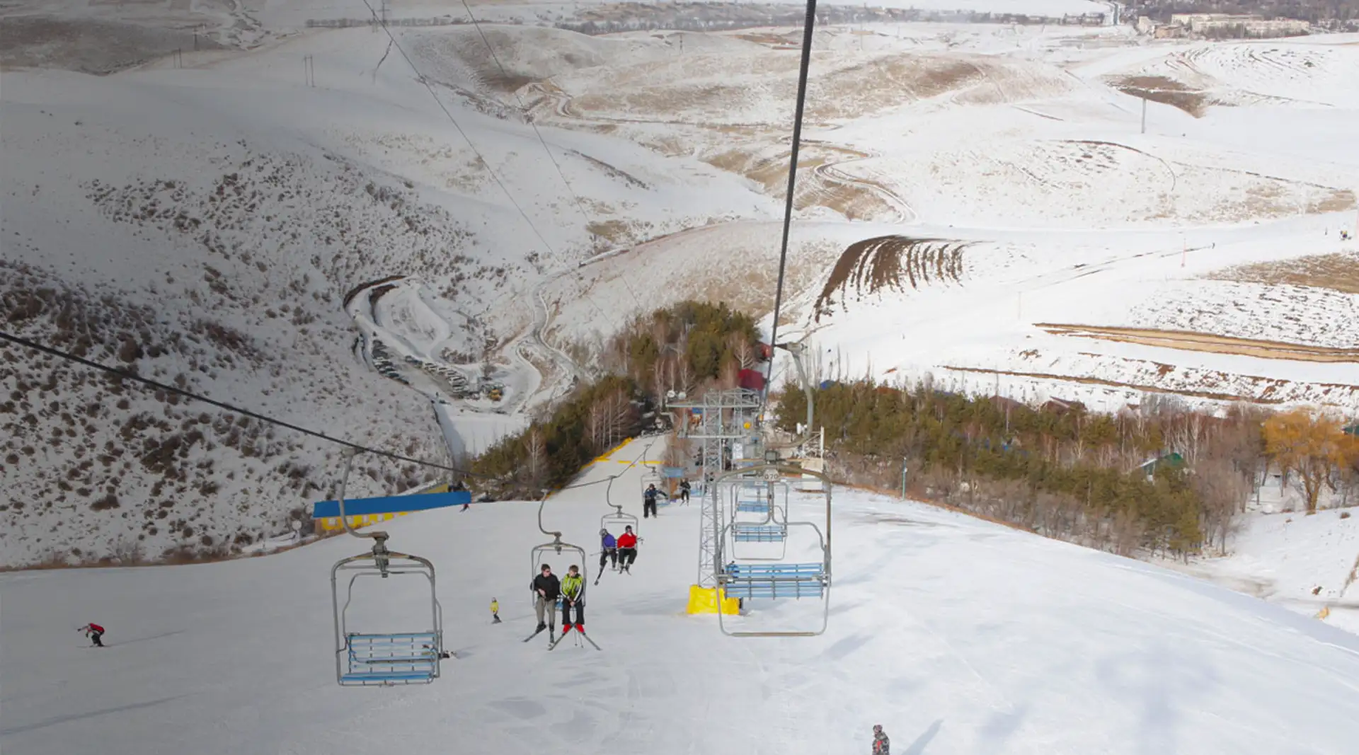
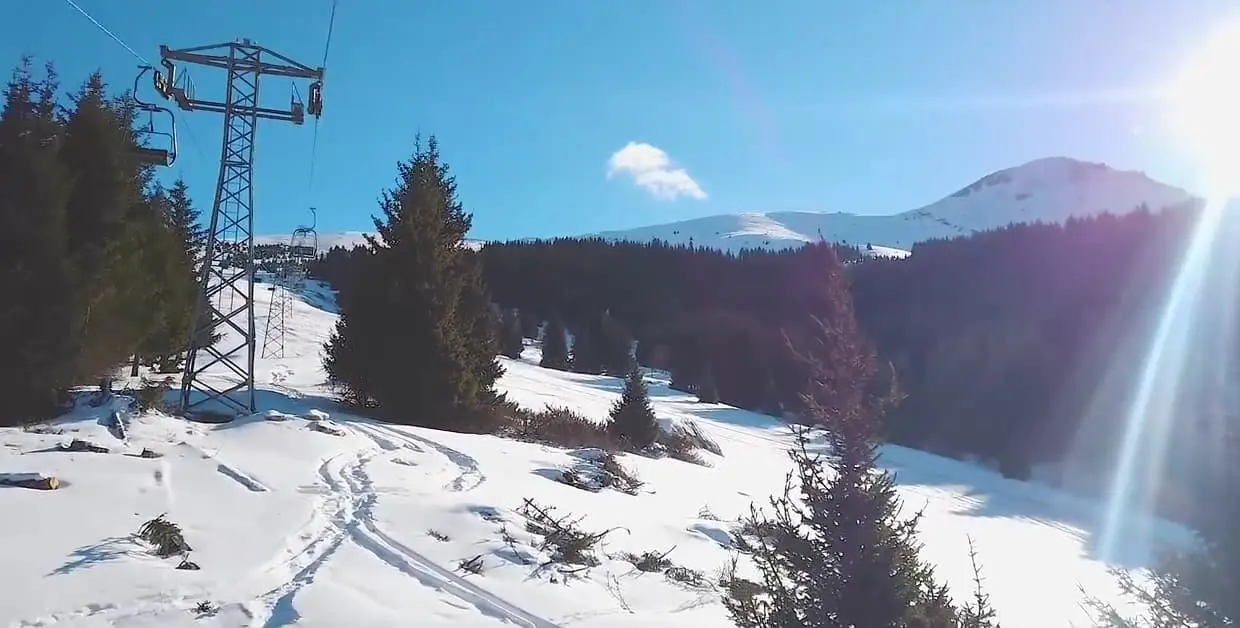
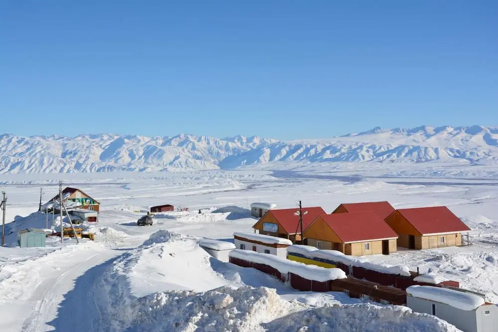
Karakol works well for several days with accommodation in the city. Chunkurchak and Orlovka suit a shorter trip from Bishkek. Consider Too-Ashuu and Ak-Tüz only after confirming both operation and road conditions directly.
For prepared pistes, check open lifts, available terrain, equipment hire and instructors. Leaving the controlled area is a different mountain undertaking: it requires avalanche knowledge, a suitable group, equipment and a return plan.
Season dates, prices and open runs change. Check an update from the ski area and the access road for your actual date before paying for transport, instruction or accommodation.
How to behave in mountain environments
Local rules. A national park or reserve may designate routes and campsites and impose its own restrictions. Check them with the administration before setting out.
Kyrgyzstan’s mountain regions span different natural zones, so plants and wildlife vary between valleys. Our guide to Kyrgyzstan’s animals explains what you may realistically encounter. Keep your distance, do not feed or pursue animals and do not plan a trip around seeing a snow leopard.
In protected areas, follow current rules for access, camping, fires and waste. Consult our national parks guide before travelling, then follow instructions from the local administration and rangers.
Frequently asked questions about Kyrgyzstan’s mountains
Where should I go for a first mountain experience?
Choose a short valley walk in Ala-Archa or Chunkurchak and set a turnaround time before you start. Do not begin with a summit, glacier or graded mountaineering route.
Can I see a major peak without climbing it?
Yes. Lenin Peak is clearly visible from the Alay Valley and the Achik-Tash base-camp area. Visiting the foot of the mountain and joining the high-altitude route require different preparation.
Does a summit card mean that the route is suitable for an independent attempt?
No. A card helps you choose the relevant guide and understand the general character of the place. You still need a separate route plan covering current conditions, difficulty, equipment and turnaround time.
When do I need a guide or instructor?
Guidance is especially important for a first graded ascent, glacier travel, an unfamiliar winter route or a high-altitude expedition. On a simple valley trail, the decision depends on weather, trail conditions and your skills.
Can I go into the mountains in winter?
You can choose an operating ski area or a route that matches the group’s winter experience. Uncontrolled snow terrain requires avalanche knowledge, winter equipment and a rescue plan.
How should I choose a ski area?
Compare journey time, accommodation, open lifts, available runs, hire and instruction. Check the area and access road for your actual date, because an old update does not confirm today’s operation.
What should I do if I develop symptoms of altitude illness?
Do not continue ascending and tell the group leader immediately. If symptoms worsen, descend and seek medical help; the timing and method of descent depend on the person’s condition and the route.
Can I rely on mobile coverage?
Coverage may disappear beyond inhabited valleys. Download an offline map, share the plan and expected return time, conserve battery power and arrange a way to call for help.
Share on social media
If you found this guide useful, share it on social media. It takes a moment and helps more travellers discover the project. Thank you!
Anything to add?
Share your experience, leave a comment or suggest an improvement.