Contents:
Why are two elevations quoted?
Khan Tengri is given as either 6,995 or 7,010 metres. The first figure is the rock summit; the second includes the ice cap. The difference between guidebooks is therefore not necessarily an error.
The mountain stands in the eastern Central Tian Shan near the borders of Kyrgyzstan, Kazakhstan and China. Its almost symmetrical pyramid and steep marble ribs make it easy to recognise. At sunset, the rock reflects warm light and the summit appears reddish.
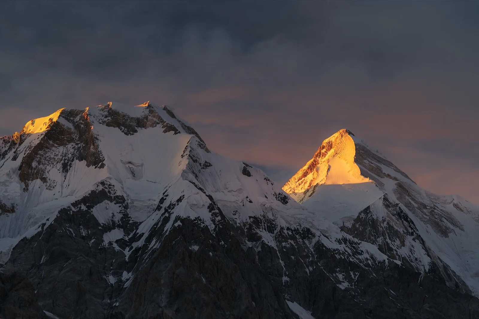 1/2. The Khan Tengri pyramid in sunset light Photo: Maryliflower, Wikimedia Commons, CC BY-SA 4.0; edited for this site.
 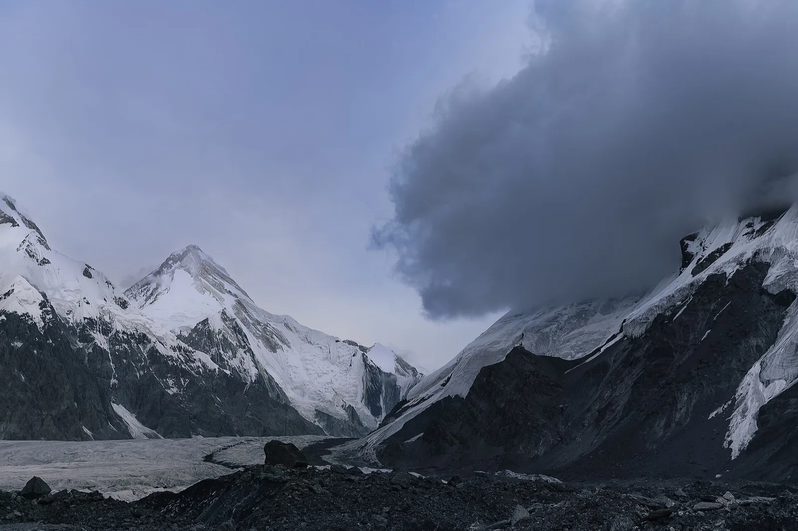 2/2. Cloudy conditions around Khan Tengri Photo: Maryliflower, Wikimedia Commons, CC BY-SA 4.0; edited for this site.
 You can see Khan Tengri from the South Inylchek area without attempting an ascent. Reaching the glacier is already remote expedition trekking, however, with no permanent roads or urban infrastructure nearby.
How do you reach Khan Tengri?
On the Kyrgyz side, expeditions assemble in Karakol, travel through the Sary-Jaz Valley to Maida-Adyr and then continue to South Inylchek. They reach base camp by a multi-day trek or a seasonal flight arranged by an operator and dependent on weather.
The area lies within a border zone. Foreign travellers need to obtain an entry permit in advance; current requirements and processing times should be checked on the state permits portal. If a company handles the documents, request confirmation before flying.
The South Inylchek base camp serves expeditions to both Khan Tengri and Victory Peak. It is a useful logistical point, but not a hotel with a guaranteed timetable. Weather affects the delivery of people, food and equipment.
What does the ascent involve?
The classic route from the south crosses the Semenovsky Glacier to the col before joining the western ridge. It is graded 5A in the Russian system. The American Alpine Club calls the western ridge the normal route and links it to Mikhail Pogrebetsky's first ascent in 1931.
The grade does not describe every condition. The party crosses a glacier and an icefall before the ridge, then climbs steep mixed terrain and fixed ropes above. Fixed lines must be inspected on site rather than treated as a guarantee of safety.
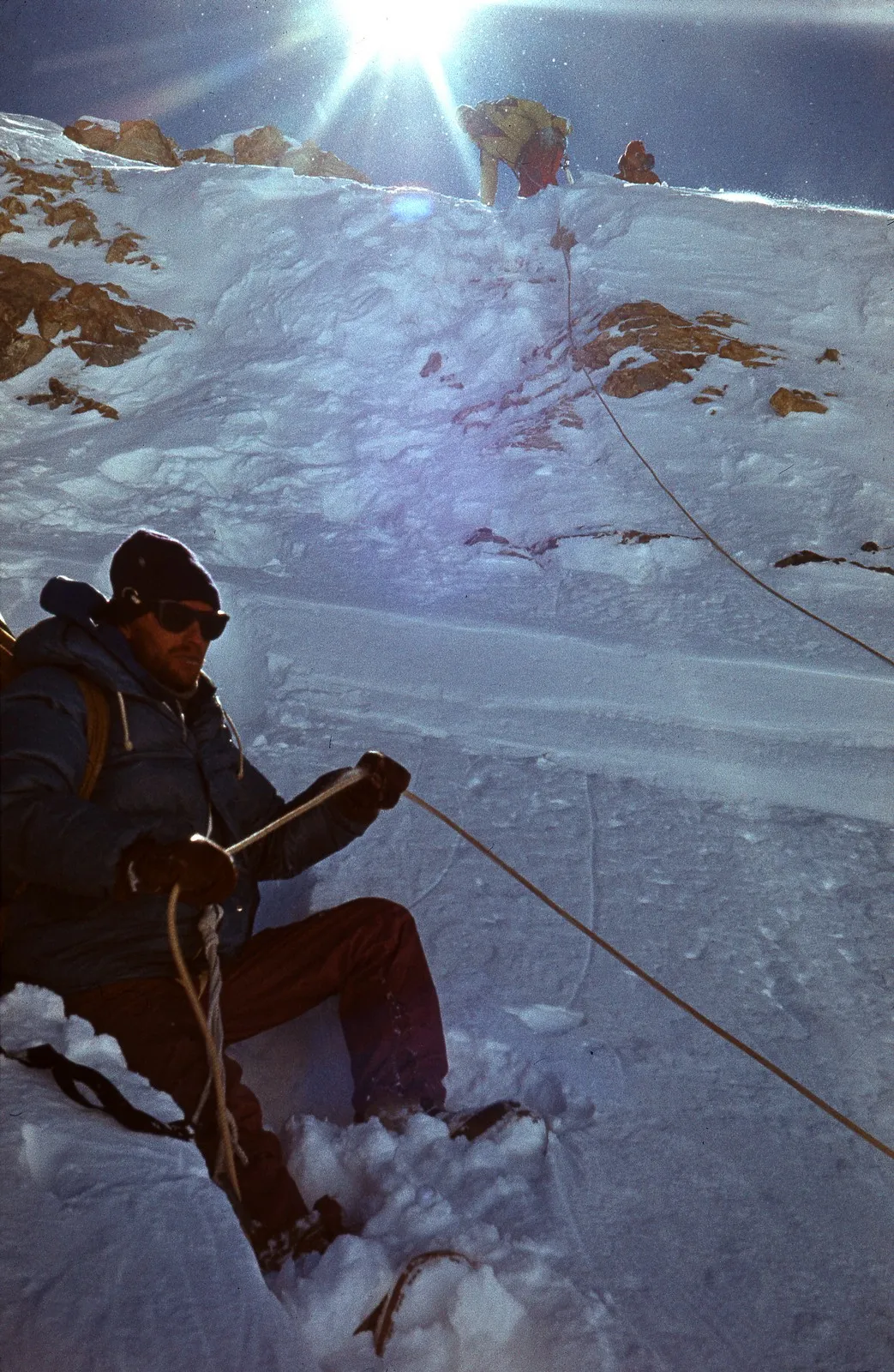 High camp at 6,400 metres in 1987. Photo: Jaan Künnap, Wikimedia Commons, CC BY-SA 4.0; edited for this site.
Hazards include crevasses, avalanches, falling ice and rock, cold and sudden weather changes. Descending crowded fixed ropes can take longer than a tired climber expects. Summit day must include a safe return rather than ending with the photograph at the top.
How to assess your readiness
High-altitude experience. Before Khan Tengri, you need successful experience on lower technical summits and a clear understanding of how your body responds to altitude. Your first 7,000-metre mountain should not also be your first glacier and first fixed-rope route.
Independent skills. Participants must be able to use crampons and an ice axe, ascend and descend a fixed rope, belay a partner and respond to a fall or injury.
Turnaround plan. Before departure, the team sets a firm turnaround time, reserves of gas and food, communication procedure and a decision for what to do if the guide becomes ill. Paying for the expedition creates no obligation to reach the summit.
Insurance and evacuation. The policy must explicitly cover mountaineering to the declared altitude and possible air evacuation. Also confirm who contacts rescuers and where the nearest accessible medical help is located.
To see the area without a summit programme, compare the trek to Lake Merzbacher with the route to South Inylchek. Both retain the expedition character of the Central Tian Shan without requiring the western ridge of Khan Tengri.
Share on social media
If you found this guide useful, share it on social media. It takes a moment and helps more travellers discover the project. Thank you!
Anything to add?
Share your experience, leave a comment or suggest an improvement.