Contents:
How difficult is Zelenkova Peak?
Zelenkova Peak stands south of Bishkek between the Chunkurchak area and Alamedin Gorge. The summit is 3,801 metres high. Local organisers describe the circular route as a grade 1B climb, an introductory mountaineering grade rather than an ordinary walk on a marked trail.
Figures depend on the start. One published description gives roughly 8 kilometres each way and up to 1,500 metres of ascent. Other versions cross Beshalchaluu-Tash and cover about 16 kilometres over the whole day. Before booking, ask the organiser for your group's actual track, total distance and elevation gain.
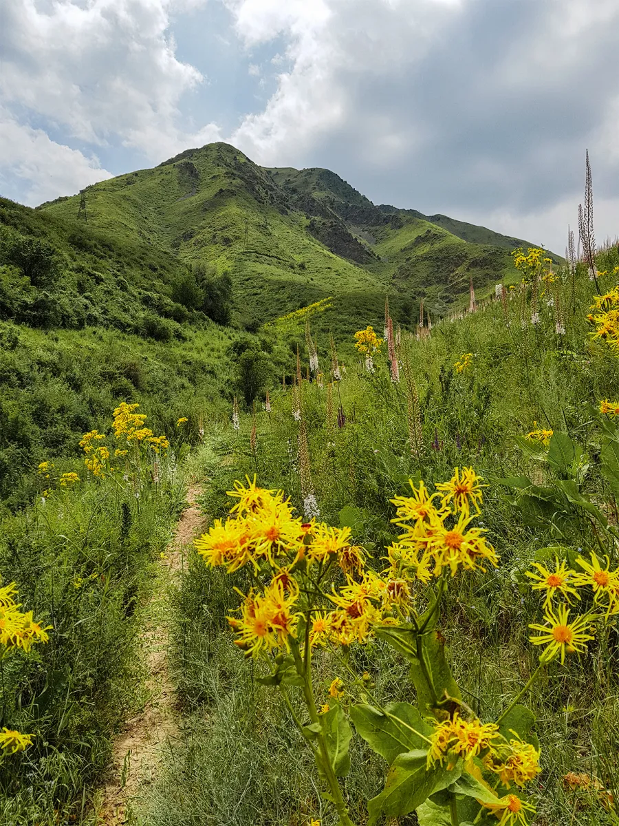 1/2. Trail in lower Chunkurchak, not a view of Zelenkova Peak Photo: Vilya Shoni, Wikimedia Commons, CC BY-SA 4.0; edited for this site.
 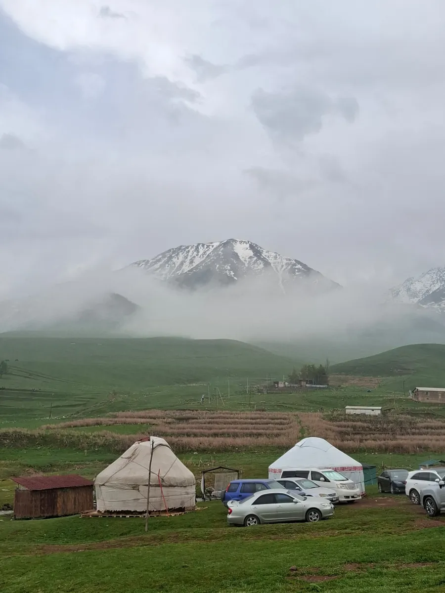 2/2. Weather in the starting area, the exact summit is unidentified Photo: General husi, Wikimedia Commons, CC BY-SA 4.0; edited for this site.
 The route does not suit every beginner. A specialist operator explicitly recommends it to people who have already climbed easier peaks. Participants need a steady pace on a steep ascent, confident movement down fine scree and the ability to follow a guide's instructions on rock.
An independent ascent requires more than an app. Even an accurate GPX file cannot show how a snowfield or scree slope changed after bad weather. If you cannot assess mountain terrain and organise protection, use a qualified guide.
How the ascent works
The approach begins from one of the roads around Chunkurchak. The lower route passes through forest and meadows before climbing towards Chichar Pass. Higher up, grass gives way to rock, scree and isolated easy scrambling.
The circular version descends in a different direction, so you cannot simply turn and retrace the ascent automatically. Agree on the exit, parking and meeting point with the driver before starting. Save maps and contacts offline in case coverage is poor.
A link with Beshalchaluu-Tash may look logical on a map, but it turns the day into a traverse of two summits. Reaching the first does not mean the group has time for the second. The guide decides based on the actual pace and weather.
Equipment and season
Basic kit. Bring trekking boots, poles, helmet, head torch, gloves, a warm layer, wind and rain protection, sunglasses, sunscreen, a personal first-aid kit, food and water for the whole day. The helmet protects against rocks dislodged by someone above.
Special equipment depends on the season. In spring and after snow, the organiser may require crampons, ice axe, harness and rope. The phrase “no special equipment” in an old description is dangerous: a dry summer path and a March slope need different kits.
Main period. Organised summer ascents usually run from May to September, but the month does not guarantee a dry route. Snow can remain high after a cold spring, while a summer thunderstorm makes the ridge unsafe.
Water. Do not rely on refilling from a stream without filtration or treatment. There may be no source on the open upper slope. Agree the amount with the guide based on temperature and the chosen route's length.
When to abandon the summit
Turn around in a thunderstorm, dense fog, strong wind, fresh snow on scree or when the group is clearly behind schedule. The summit does not justify descending in darkness. Make the decision before conditions become an emergency.
The Kyrgyz Ministry of Emergency Situations advises against entering difficult terrain alone and recommends protection where a fall is possible. The emergency number is 112. Give a trusted person the track and check-in time.
Do not continue because the tour is paid for or the summit is close. If one participant loses pace, becomes cold or stops moving confidently on scree, the group should descend together on the guide's decision.
Reliable available sources do not explain the origin of the peak's name. An older page said it commemorated a Soviet mountaineer but gave neither a name nor a reference. It is better not to repeat this claim until archival evidence is found.
Share on social media
If you found this guide useful, share it on social media. It takes a moment and helps more travellers discover the project. Thank you!
Anything to add?
Share your experience, leave a comment or suggest an improvement.