Contents:
Who is the ascent suitable for?
Beshalchaluu-Tash rises in the Kyrgyz Ala-Too above the Chunkurchak area. The summit is 3,305 metres high. It is lower than nearby Zelenkova Peak, but the day is still long: the route gains roughly 1,200 metres from the clearings in the valley.
A first peak, but not a first hike. There is no long ice wall, yet the sustained ascent, steep scree and descent on tired legs require experience of full-day mountain walks. Before this trip, complete a route of 15 to 20 kilometres with at least 800 to 1,000 metres of ascent and see whether you can maintain a steady pace.
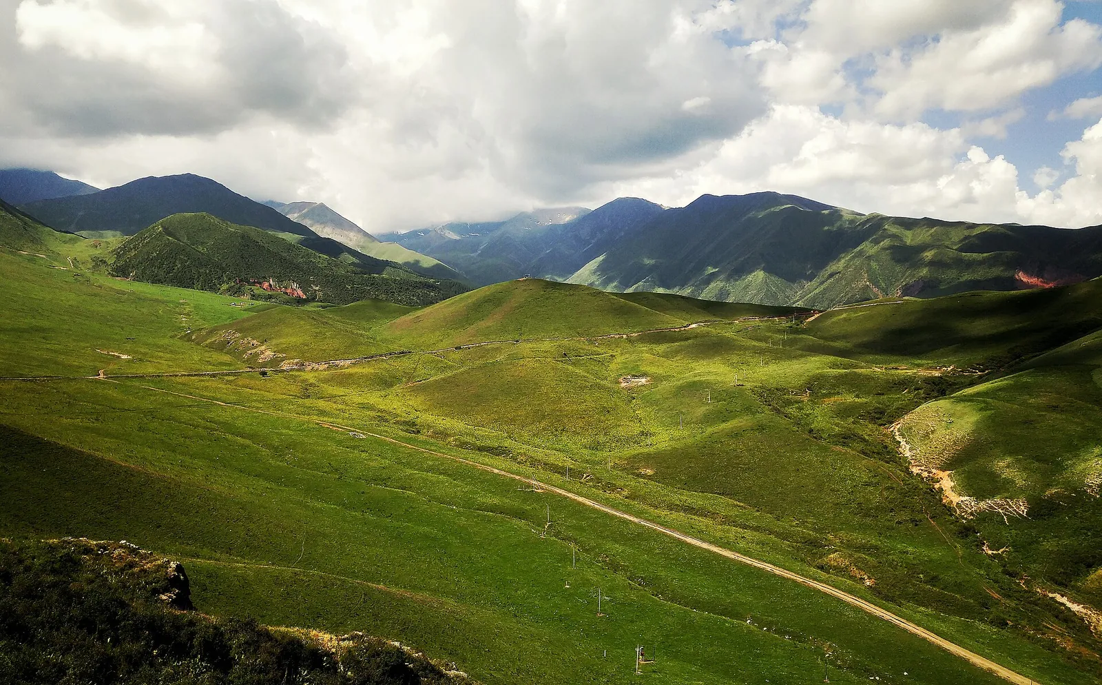 1/3. The lower starting area, not a view of Beshalchaluu-Tash Photo: Vilya Shoni, Wikimedia Commons, CC BY-SA 4.0; edited for this site.
 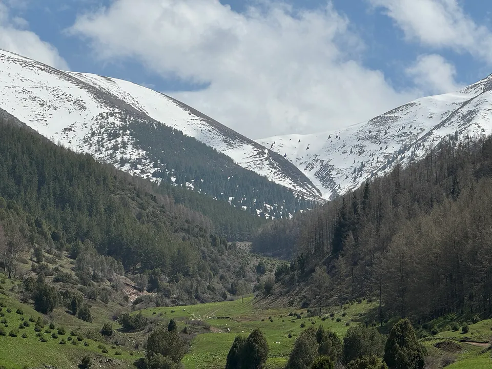 2/3. Seasonal terrain in the approach area Photo: Timjusup, Wikimedia Commons, CC BY-SA 4.0; edited for this site.
 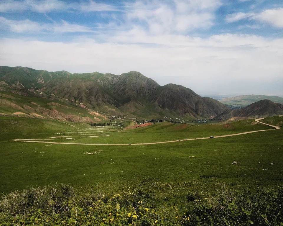 3/3. Terrain in lower Chunkurchak Photo: Vilya Shoni, Wikimedia Commons, CC BY-SA 4.0; edited for this site.
 Beginners need a guide. The trail branches around pastures and passes, while fog quickly hides landmarks. Someone else's track cannot report a snowfield, a washed-out road or a new diversion. An experienced leader is responsible for direction and the turnaround time.
Do not judge suitability for children by age alone. The decision depends on the child's own experience, the weather and the group. If a participant has not completed a long ascent before, start with a shorter route in Chunkurchak Gorge without attempting a summit.
Where does the route start?
Approaches begin in the Chunkurchak area, about 40 kilometres from Bishkek. The organiser chooses the exact starting point. Descriptions mention routes from the Supara ethno-complex and from neighbouring dirt roads. They produce different distances and are not always accessible to an ordinary car.
Obtain the parking coordinates and a current track from the guide before departure. Do not set your navigator directly to the summit: it may lead along an impassable pasture road or to the opposite slope. After rain, ask the organiser separately about the final dirt section.
The lower route crosses forest and open grassy slopes before reaching Chichar Pass. Above it, rock and scree become more common. The visible summit is not always the nearest high point, which makes both the track and a leader familiar with the route particularly important on the ridge.
How to prepare for a full day
Start early. Cloud and thunderstorms are more common after midday, and it is easy to lose an hour on the descent. Carry a head torch even when you plan to return in daylight. Set the turnaround time before starting and do not move it for the sake of the final hundred metres.
Bring equipment for scree. You need trekking boots with effective tread, poles, gloves, rain and wind protection, a warm layer, sunglasses and sunscreen. The list changes in winter and the shoulder seasons; organisers may require crampons and other equipment.
Do not rely on streams. Water may be absent on the upper route, and drinking untreated water from an open source is unsafe. Carry enough for the full day and add a hot drink in cold weather.
Share your plan. Give a trusted person the starting point, group list, track and expected return time. The Kyrgyz Ministry of Emergency Situations advises against entering difficult terrain alone or in fog and recommends using protection wherever a fall is possible. The emergency number is 112.
Beshalchaluu-Tash or Zelenkova Peak?
You can climb Beshalchaluu-Tash as a standalone summit and return. This is shorter than a traverse and better shows whether a participant is ready for long ascents. It still requires a full day, an early start and stable weather.
Continuing to Zelenkova Peak adds elevation, distance and a difficult descent. In March 2026, a local operator described this combination as a demanding route of about 16 kilometres with roughly 1,600 metres of ascent, led by guides. These figures cannot be applied to every season, but they show the scale of the task.
Do not commit to the second summit at any cost. At Beshalchaluu-Tash, assess the group's pace, wind, cloud and remaining daylight. If there is doubt, descend by the planned route.
Older texts translated Beshalchaluu-Tash as “five plum stones”, but no reliable linguistic source for that interpretation was found. Some maps label the summit Dadyuchenko Peak. Navigate by coordinates rather than relying on a single name.
Share on social media
If you found this guide useful, share it on social media. It takes a moment and helps more travellers discover the project. Thank you!
Anything to add?
Share your experience, leave a comment or suggest an improvement.