Contents:
What can an ordinary traveller see?
Karakol Peak rises south of the town of Karakol in the central Terskey Ala-Too. Its rock and ice wall is visible from the valley, while the On-Tor glaciers and the neighbouring Dzhigit and Przhevalsky peaks appear closer to the foot.
You do not need to attempt a 5,216-metre summit to discover this area. A realistic goal for a prepared trekker is to follow Karakol Gorge to the alpine camp, continue into On-Tor and view the massif from a safe distance. This is a multi-day high-altitude trek, not a short walk from town.
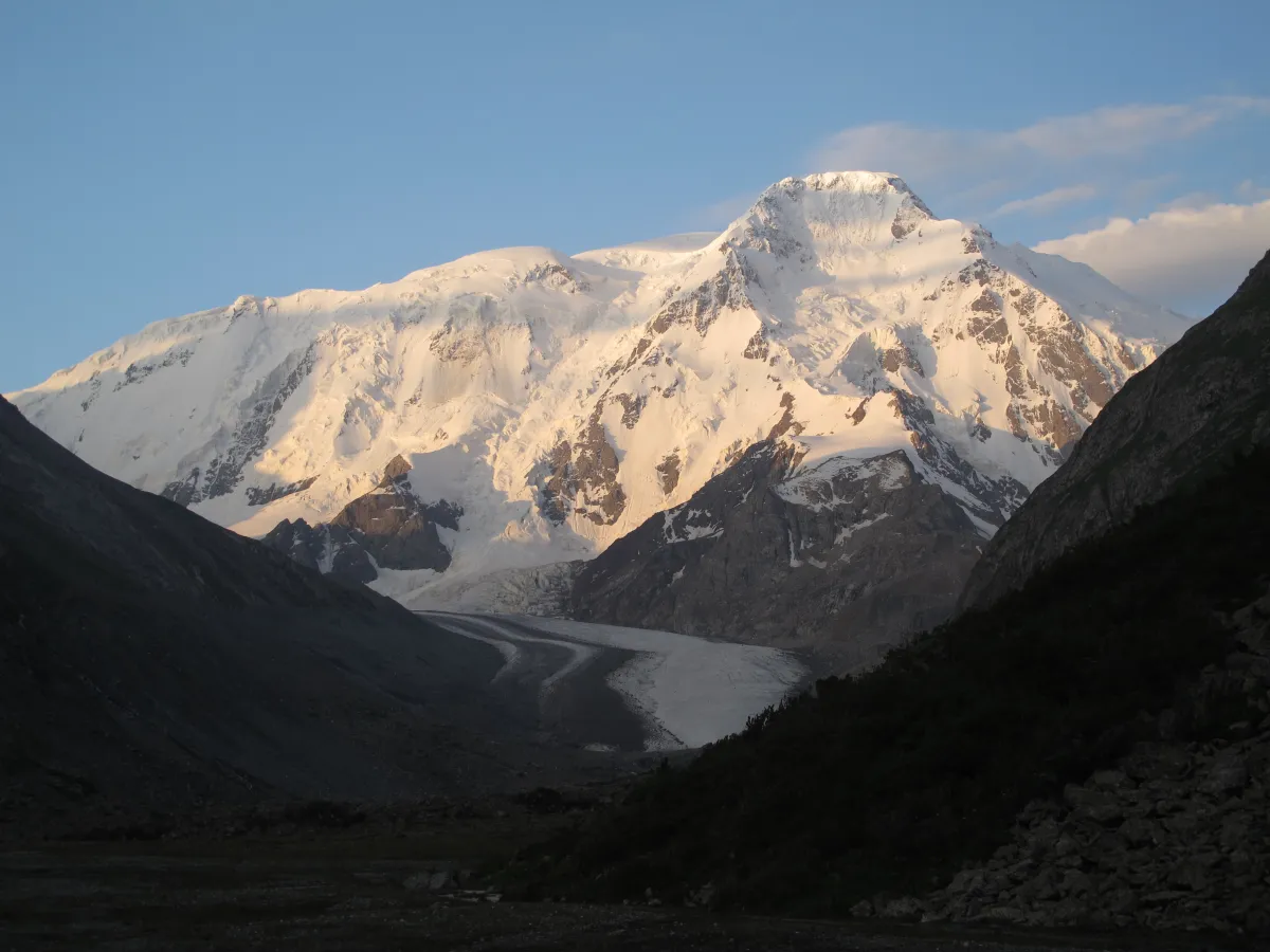 1/2. Karakol Peak and the glacier at its foot Photo: Tadeáš Gregor, Wikimedia Commons, CC BY-SA 3.0; edited for this site.
 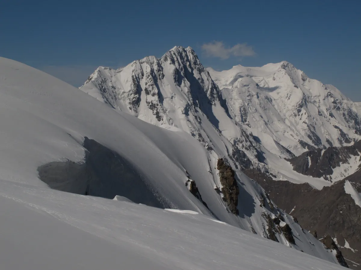 2/2. Dzhigit on the left, Karakol Peak on the right Photo: Tadeáš Gregor, Wikimedia Commons, CC BY-SA 4.0; edited for this site.
 Another route passes Ala-Kul Lake and Altyn-Arashan. The peak remains part of the panorama, but the trek does not approach its technical slopes.
How do you reach the foot?
Start in Karakol and travel up the gorge of the same name to the permitted drop-off point. Continue on foot from there. Check the road, nature park rules and current starting point before the trip.
A route published by the local project Visit Karakol covers 10 kilometres to the alpine camp, followed by another 11 kilometres through On-Tor Gorge almost to the foot of the peak. These distances belong to a specific six-day programme and are not a universal schedule for every group.
Mobile coverage is unreliable along the route. Leave the itinerary and return deadline with a trusted contact. For a difficult crossing, carry a satellite communicator or another independent means of communication.
Why does the summit require training?
The trek to the foot and an ascent of Karakol Peak cannot be combined into a promise to reach it in a day. Summit routes cross glaciers, steep snow and rock. Their condition changes with the season and must be assessed on site.
Even the approach through On-Tor can pass close to a glacier and cross scree. Stepping onto ice requires a rope team, crampons, ice axe, harness and crevasse-rescue skills. Simply carrying this equipment in a rucksack is not enough.
The principal risks are rockfall, crevasses, rapidly deteriorating weather, cold and the absence of quick evacuation. Rain or snow makes rock sections harder, while cloud hides landmarks.
What should you bring and check?
For the trek to the foot: a tent and sleeping bag rated for the expected temperature, waterproof and warm layers, trekking poles, spare food, a water filter, navigation and independent communication. Allow a reserve day for weather.
For glacier travel: a helmet, crampons, ice axe, harness, carabiners and rope are needed by everyone who knows how to use them. The leader decides the precise kit and rope length for the chosen line.
For the summit: ask the guide for the route name, grade, camp plan, expected glacier conditions and turnaround criteria. “Moderate difficulty” does not explain any of these details.
The calendar cannot guarantee the best summer conditions. Compare forecasts, ask local guides for recent information and be ready to replace the summit with a walk in the valley. In the mountains, this is a normal decision rather than a failed trip.
Share on social media
If you found this guide useful, share it on social media. It takes a moment and helps more travellers discover the project. Thank you!
Anything to add?
Share your experience, leave a comment or suggest an improvement.