Contents:
Who should hike to Ala-Kul?
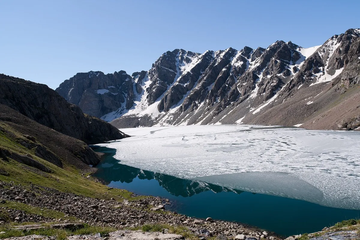 1/3. Ala-Kul in early summer Photo: Ekrem Canli, Wikimedia Commons, CC BY-SA 3.0; edited for this site.
 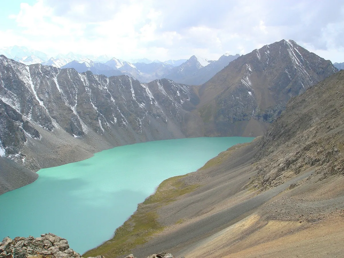 2/3. The lake from Ala-Kul Pass Photo: Ondřej Žváček, Wikimedia Commons, CC BY-SA 3.0; edited for this site.
 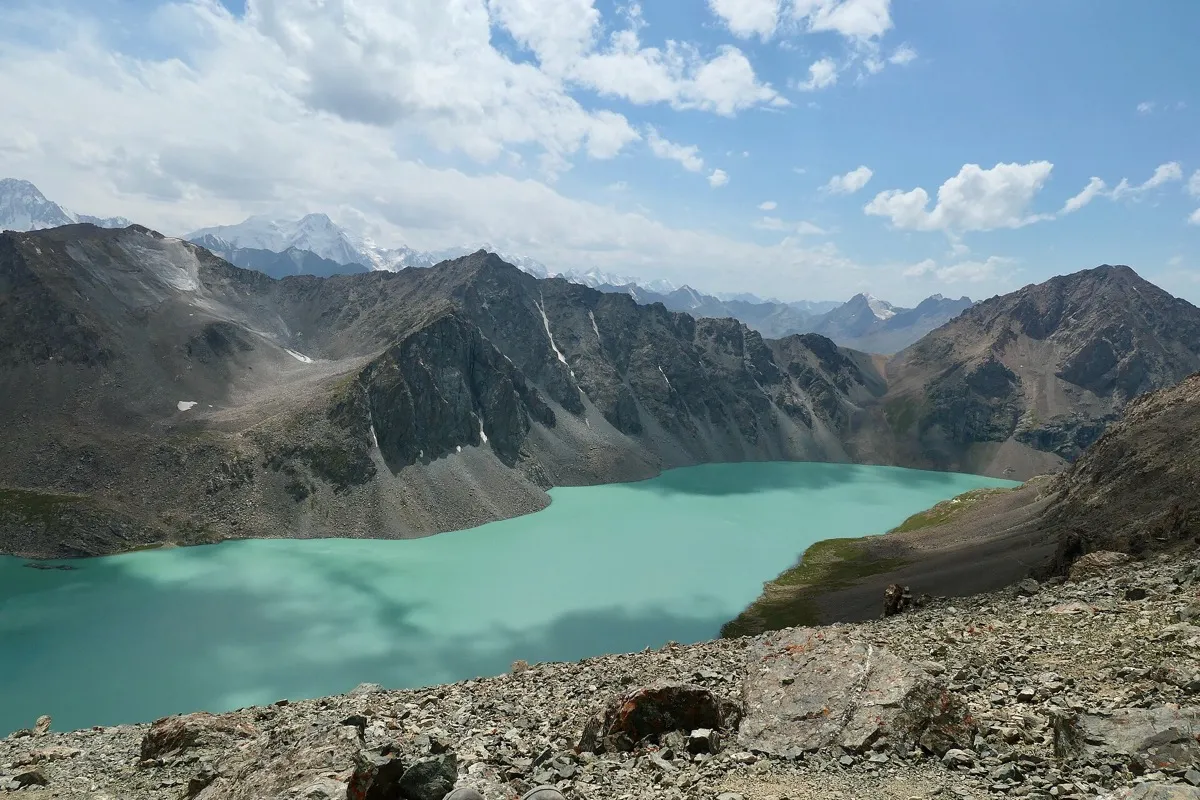 3/3. View from the trail towards the pass Photo: Bruno Rijsman, Wikimedia Commons, CC BY-SA 2.0; edited for this site.
 The hike to Ala-Kul demands stamina, settled weather and at least some basic mountain experience. Over several days, you will make long ascents with a backpack, sleep above the tree line and cross a pass at roughly 3,900 metres. This is not a short walk from a car park or a sensible first hike without preparation.
The reason for coming is clear: the route links the forested Karakol Valley, a high-altitude lake, a rocky pass and the hot springs of Altyn-Arashan. The water shifts from grey-blue to turquoise depending on the light, cloud cover and suspended glacial sediment.
It is worth spending a day in Karakol and taking a short walk without a heavy pack before the hike. This pause does not guarantee acclimatisation, but it may help you notice how your body responds to altitude before you enter the remote section.
The route to Lake Ala-Kul
The classic route begins at the entrance to Karakol Gorge. The trail climbs along the Karakol River valley, then turns into Kurgaktor Gorge towards Sirota Camp and the lake. Beyond Ala-Kul Pass, it descends into the Keldike Valley and continues to Altyn-Arashan. Hikers finish in Ak-Suu or take a transfer back to Karakol.
A typical day-by-day itinerary
Day 1. Enter Karakol Gorge, climb through the forested valley and camp before the steep section. The exact overnight stop depends on the group's pace and the type of accommodation.
Day 2. Climb through Kurgaktor to the lake and spend the night below it or nearby. The final section is steep, and progress slows noticeably at altitude.
Day 3. Cross Ala-Kul Pass and descend into Keldike or Altyn-Arashan. Allow extra time for the scree descent and wear dependable footwear.
Day 4. Descend from Altyn-Arashan to Ak-Suu. The hot springs are in the Altyn-Arashan Valley beyond the pass, not beside the lake itself.
Faster alternatives use a special transfer along the difficult unpaved road to a camp in Karakol Gorge. This shortens the approach, but does not turn the route into an easy excursion. Even a one-day programme usually involves 6-10 hours of walking, considerable elevation gain and a dedicated four-wheel-drive transfer. The Karakol tourism organisation publishes route details and seasonal offers.
The lake's elevation and name
The lake lies in the Teskey Ala-Too range at an elevation of about 3,532-3,533 metres. It is fed by snow, glaciers and precipitation. Snowfields can remain along the shore even in summer, and night-time temperatures fall below freezing.
The Kyrgyz name Ala-Köl can be translated as “variegated lake”. Russian-language sources use several forms, including Ala-Kul, Ala-Kyol and Alakyol. This page uses Ala-Kul, the spelling familiar from hiking maps and route searches.
Popular descriptions disagree on reliable depth measurements, so the often-quoted figure of “more than 70 metres” should not be treated as confirmed. What matters to travellers is that the water is icy and there is no serviced beach or lifeguard. Swimming adds a risk of hypothermia and should not be the purpose of the hike.
Season, equipment and safety
The main season runs from late June to September, but the calendar is no substitute for checking current conditions. Dangerous snow may remain on the pass in June, while frosts arrive early in September. Rivers rise after heavy rain, rocks become slippery and the crossing takes longer.
There is no reliable mobile reception along the route. Download an offline map and save the track, but do not rely on your phone alone. A guide is particularly valuable on your first multi-day hike, when snow remains or when the forecast is unsettled.
Essential equipment
- well-worn hiking boots and trekking poles;
- a waterproof jacket, warm layer, hat and gloves;
- a sleeping bag rated for the expected night-time temperature if you are camping;
- water, a filter or purification treatment, and spare food;
- a first-aid kit, head torch, sunglasses and sunscreen;
- a power bank, offline map and extra time for emergencies.
Pitch your tent on firm ground away from watercourses and the edge of a slope. Do not leave food or packaging behind, wash with soap in the lake or streams, or light a fire where it is prohibited. Carry all waste out to a settlement.
Do not continue climbing if you develop a severe headache, nausea, confusion or poor coordination. Descend and seek help. Before setting out, give someone your route and a check-in time; tourist groups can register through the Kyrgyz Ministry of Emergency Situations. You will find another preparation checklist on our page about outdoor activities in the mountains.
Share on social media
If you found this guide useful, share it on social media. It takes a moment and helps more travellers discover the project. Thank you!
Anything to add?
Share your experience, leave a comment or suggest an improvement.