Contents:
Who is the route suitable for?
Agitatorov Peak suits climbers who have completed long mountain days, navigate confidently and understand how their body responds to altitude. Its proximity to Bishkek is no reason to recommend it as a first independent summit.
The main challenge is the large elevation gain. From the Ala-Archa valley, the route climbs roughly 2,000 metres before a descent over scree and steep slopes. Snow, ice and wind can change the equipment requirements even in summer.
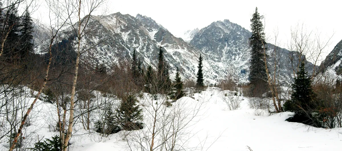 1/2. Winter terrain in Ala-Archa, the exact summit in this frame is unidentified Photo: Thomas Depenbusch (Depi), Wikimedia Commons, CC BY 2.0; edited for this site.
 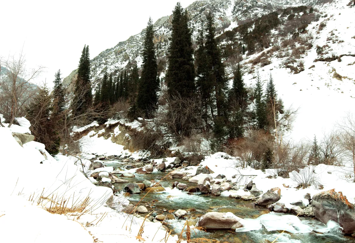 2/2. Winter conditions in the park area, not a view of Agitatorov Peak Photo: Thomas Depenbusch (Depi), Wikimedia Commons, CC BY 2.0; edited for this site.
 For a first visit to the park, choose the standard routes in Ala-Archa, Ak-Sai Waterfall or the climb to Ratsek Hut. These options still require suitable footwear and a weather check, but they do not aim for a poorly marked summit above 4,000 metres.
How do you reach the start?
First travel from Bishkek to the main entrance of Ala-Archa State Nature Park. Before leaving, check operating hours, restrictions and warnings on the park's official website. Weather, mudflows and roadworks can cause temporary closures in the mountains.
The onward route depends on the chosen line and usually involves Adygene Gorge. There is no continuous tourist marking to the summit, so a track downloaded to an app is not a complete plan. It cannot show current snow conditions, dangerous gullies or a safe turnaround point.
What is known about the summit?
Sources give two elevations: 4,050 and 4,244 metres. The difference is too large to choose one figure without comment. For this guide, it is more important to state the discrepancy honestly. A climbing party should use an up-to-date topographic map, route coordinates and the leader's information.
Recent publications also call the mountain Saint Catherine Peak. A metal cross stands on the summit, and organised climbs visit it. The additional name does not change the technical difficulty and is not a navigation marker.
The name Agitatorov is associated with the Soviet period, but no reliable primary account of its origin was found. Stories about the name should therefore not be presented as established fact.
How should you prepare?
Find a leader for the specific date. Ask which route is planned, where it starts, what the turnaround point is, whether snow and ice equipment will be needed, and how many participants each guide will supervise.
Check conditions the day before. Precipitation, overnight frost and wind alter the slope. Fresh snow can turn a summer trail into a route that requires crampons and an ice axe.
Keep enough energy for the descent. The turnaround time should be based on reaching a safe trail again, not merely on reaching the summit. A late start increases exposure to thunderstorms, rockfall and travel in darkness.
Carry independent communication. A mobile phone does not guarantee a signal in the gorge. Give a trusted person the group list, route, check-in time and instructions for what to do if you are late.
If you do not yet have the experience for the summit, you can still visit Ala-Archa. Complete a training route, practise sustained ascent and return to the peak with someone who knows this particular area.
Share on social media
If you found this guide useful, share it on social media. It takes a moment and helps more travellers discover the project. Thank you!
Anything to add?
Share your experience, leave a comment or suggest an improvement.