Contents:
Checked on 28 August 2026. Weather, roads, border rules and access to natural parks can change. Recheck the conditions for each destination before setting out.
What to prepare before your trip
The main risk on an independent trip often comes from a chain of events rather than one incident: the vehicle is late, phone coverage disappears, the weather turns, and the person waiting for your message does not know your route. Break that chain before departure.
-
Record your exact route
Save the start, overnight and exit points, an alternative route, and the contacts for your accommodation and driver. Give a copy to the person who will monitor your check-ins.
-
Set a check-in time
Agree when you will report your return and whom to call if no message arrives. Allow a sensible margin for a poor road or slower progress.
-
Prepare communication and navigation
Download an offline map, save coordinates and phone numbers, and charge your phone and power bank. In a remote area, do not rely on mobile internet as your primary communication plan.
-
Check your insurance
Your policy should cover the country, your chosen activity, the maximum altitude, search and rescue, and medical evacuation if your route may require them.
Also check the entry and registration rules, the season at your intended altitude in our guide to Kyrgyzstan's climate, and realistic journey times in the transport section. Keep copies of your passport, insurance policy and bookings separately from the originals and in secure digital storage.
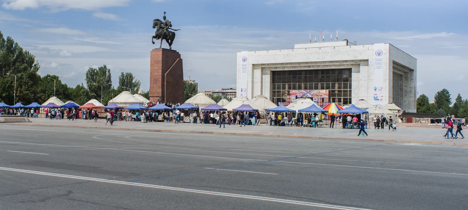 1/3. Choose a meeting point in advance in case your group becomes separated in the city Photo: Vilya Shoni, CC BY 4.0; edited for this site.
 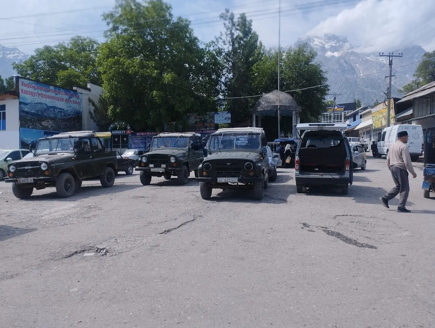 2/3. Confirm the pickup point, time and driver's contact before departure Photo: Mirzoulugʻbek, CC0 1.0; edited for this site.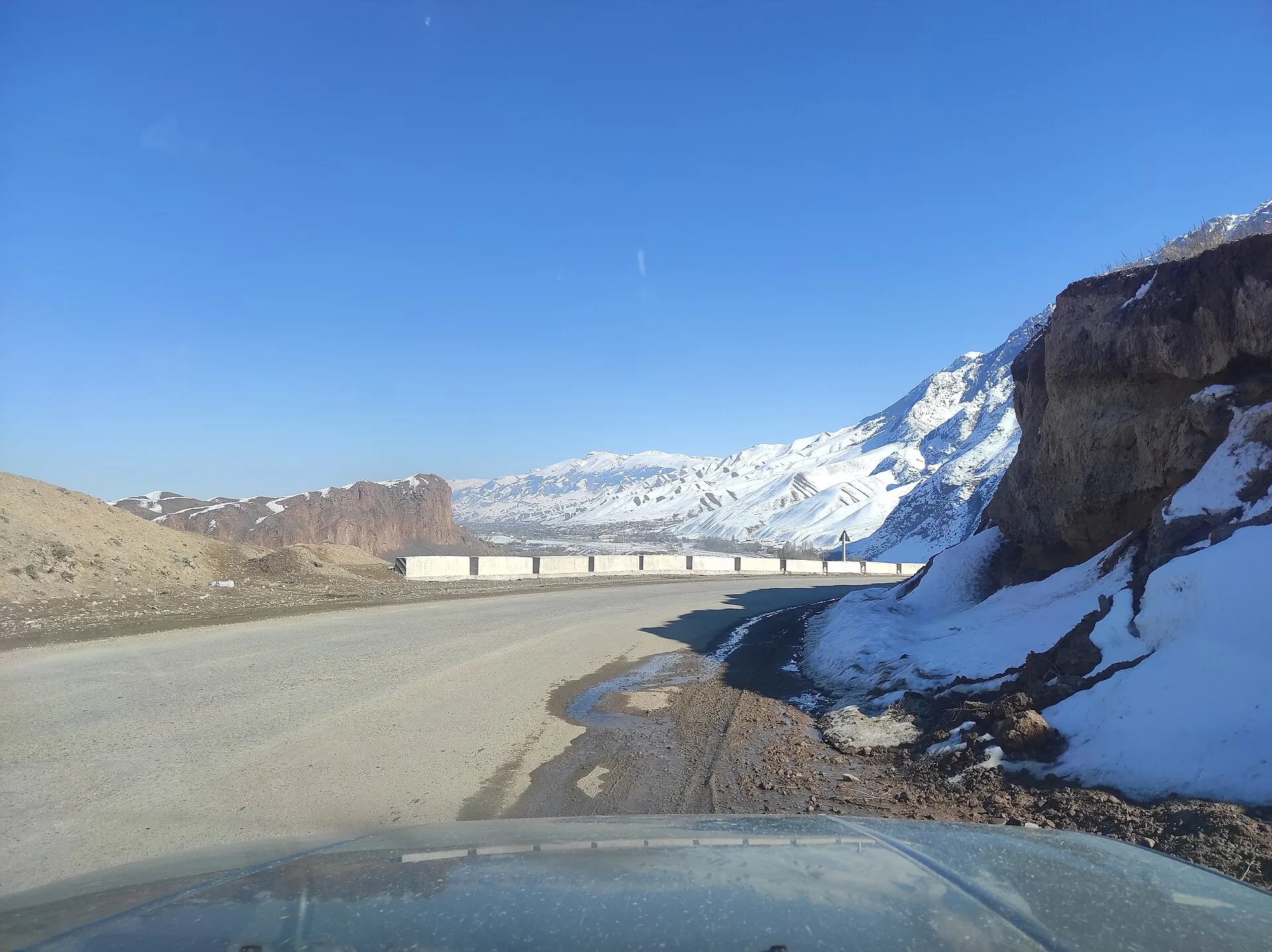
Who to call in an emergency
112 is the single emergency number throughout Kyrgyzstan. Call when there is an immediate threat to life, health or property. The operator will determine which service is needed and can dispatch rescuers, an ambulance, police or the fire service. The direct numbers are 101 for fire, 102 for police and 103 for an ambulance.
Give your location first. Provide coordinates, the nearest settlement, the gorge, the road number or a clear landmark. Then explain what happened, how many people are injured, their condition, and whether there is fire, leaking fuel, rockfall or another immediate hazard.
Calling 112 does not replace a communication plan. Mountain areas may have no signal, and rescuers may need considerable time to reach you. If the call does not connect, return to the last point with reception only when it is safe to move. Your group needs a contact who knows the route and will raise the alarm after the agreed check-in time. An official explanation of the service is available on the Kyrgyz Ministry of Emergency Situations website.
Documents and restricted areas
Carry the document you used to enter the country, your insurance details and proof of registration if required. If you are travelling with a child, using a rental car or crossing a land border, prepare the documents for your specific circumstances in advance. The general procedure and official services are covered in our guide to entering Kyrgyzstan.
Some border areas require a permit, while certain border crossings operate under restrictions. Before taking a route towards a border, check the rules for that specific area and the status of the crossing you intend to use. Do not rely on an old trip report: the list of zones, admission procedure and operation of crossings can change.
In a national or natural park, follow the rules for the specific zone, signs and instructions from the administration. Protected status does not automatically open every road and trail. Contacts and practical details for these areas are collected in our guide to Kyrgyzstan's parks.
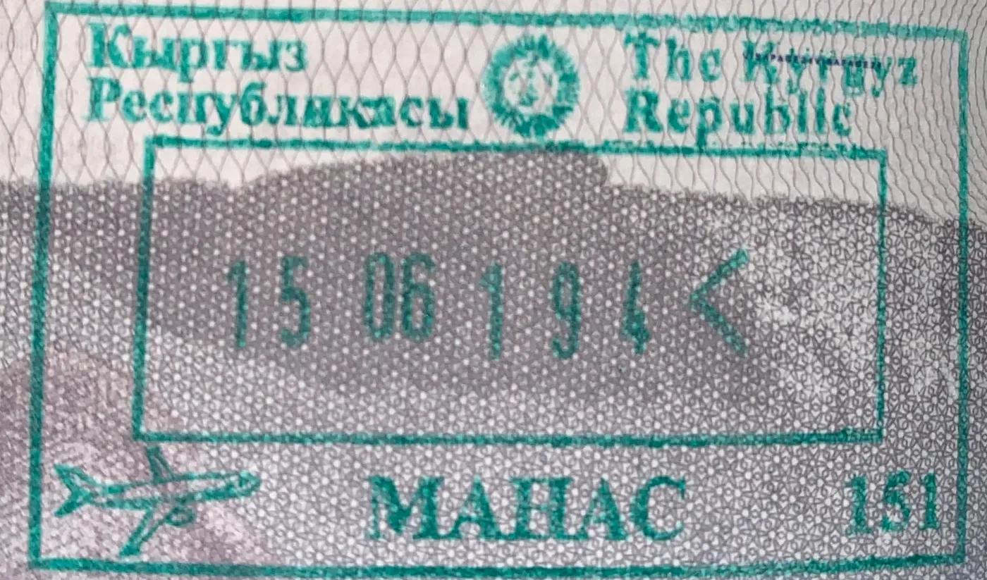 Entry stamp from 2019. The current format may differ; travellers need a confirmed entry date. Photo: Cpenyak787, CC BY-SA 4.0; edited for this site.
Staying safe in cities
In Bishkek, Osh and other cities, save the address of your accommodation and agree on a meeting point. Cross wide roads at designated crossings, and first make sure that vehicles have stopped. At night, choose a well-lit route and book a car through a service that shows the registration number and driver details before you get in.
Do not keep your passport, every bank card and all your cash in one place. At a market, count your change before leaving the stall, and put your phone away when you have finished navigating. Our guide to money in Kyrgyzstan explains cash, ATMs and currency exchange; a separate page covers service charges and voluntary tipping.
If you lose a document, contact your country's embassy or consulate and ask how to obtain a temporary travel document. A stored copy will help you provide the details, but it does not replace the original.
Roads, mountain passes and weather
The condition of a mountain road cannot be predicted from the calendar alone. Snow, avalanche risk, a mudflow, rockfall or roadworks can change access within hours. On the day of departure, check the latest updates from the Ministry of Transport, the Ministry of Emergency Situations and Kyrgyzhydromet and search for the specific road or pass. Check the date and time: an old “road open” notice, or the absence of a new notice, does not confirm current access. Then verify the road with your accommodation or driver at the destination.
Schedule difficult sections during daylight, when it is easier to see the road edge, animals, rocks and damaged surfaces. Wear a seat belt in every seat, and do not accept a ride from a tired driver or one who is clearly driving dangerously. For a remote journey, carry water, food, a warm layer and enough fuel for the return or a detour.
If a road is closed, turn back to a safe place and change your plan. Do not drive around a barrier or follow an unfamiliar vehicle onto an unknown dirt track. Our guide to the route between Bishkek and Osh has more advice on mountain passes and choosing transport.
Hiking and remote areas
Before departure, save the track offline and record the distance, elevation gain, water sources, overnight stops and safe exit options. Check the route against a map and with someone who knows the area. A demanding solo hike leaves fewer ways to recover from an injury, navigation error or equipment failure.
Tourist groups must notify the Ministry of Emergency Situations 10 working days before departure. The same page includes a form for individual travellers. The application asks for dates, the route, overnight stops, emergency exits, a communication schedule, a first-aid kit, food and insurance details. Within the final 24 hours before departure, the group leader or individual traveller must additionally report that the route is starting; after returning, report completion. The form and procedure are available on the Ministry's page for registering tourist groups.
Check the forecast for the altitude of your route, not only for the nearest town. If cloud obscures the route, the wind increases, a thunderstorm begins or the group falls behind schedule, return along the known line. Reaching the destination is not more important than descending safely.
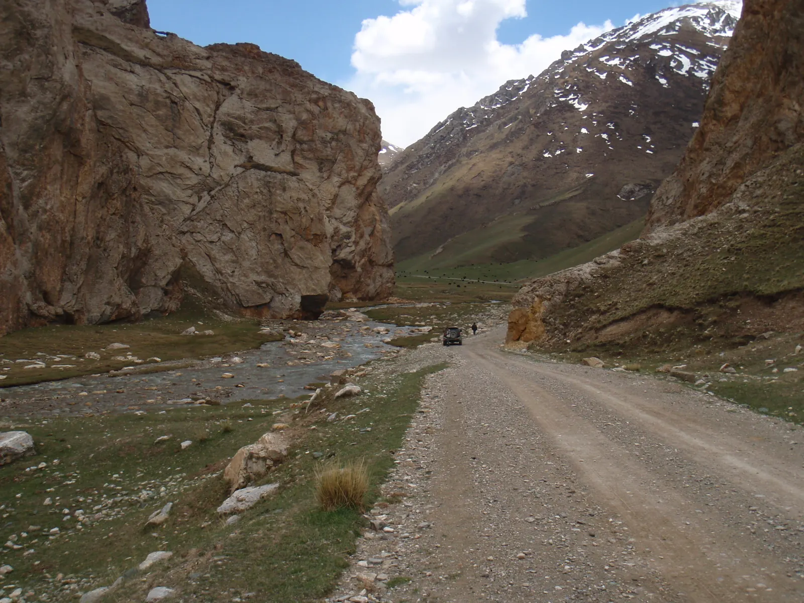 Communication and help may be far away on a remote road: leave your route and check-in time with someone. Photo: Raki_Man, CC BY 3.0; edited for this site.
Altitude and mountain sickness
Mountain sickness can affect any unacclimatised person who sleeps at around 2,450 m or higher. Physical fitness offers no protection. An early warning sign is a headache together with nausea, dizziness, unusual fatigue or loss of appetite.
If symptoms develop, do not increase the altitude of your next overnight stop. Descend if the condition worsens while you remain at the same altitude. Confusion, loss of coordination or shortness of breath at rest require an urgent descent and assistance. Do not leave the affected person alone.
After coming from the lowlands, do not plan your first night immediately at around 2,750 m. Above 3,000 m, increase your sleeping altitude gradually, by roughly 500 m per day, and add a rest day for every 1,000 m gained. Discuss medicines and personal limitations with a doctor before your trip.
Water, health and insurance
A clear mountain stream can contain microorganisms. If the water is not known to be safe, boil it for one minute, or for three minutes above approximately 1,980 m. Another option is suitable filtration followed by disinfection. If chemical contamination is possible, boiling and a standard portable filter do not guarantee safe water, so find another source near a mine, industrial site or agricultural runoff.
At least one month before travelling, discuss vaccinations, regular medicines and the risks of your specific route with a healthcare professional. Pack a personal first-aid kit and do not assume that a rare medicine will be available in a small village. Call 112 for a serious condition; this page is not a substitute for medical advice.
Read the exclusions before paying for an insurance policy. The words "active holiday" alone do not guarantee cover for trekking, horse riding, mountaineering or skiing off piste. Check the maximum altitude, search and rescue, medical evacuation, motorcycle use and every other activity in your plan.
What to do during an earthquake
Indoors, get low, protect your head and neck, and move away from windows and objects that may fall. Do not run to a lift. Outside, move away from facades, balconies, poles and wires. If you are driving, stop in a safe place away from bridges, tunnels and power lines.
After the shaking, leave a visibly damaged building by the stairs if the route is safe. Expect aftershocks, do not light a flame if you smell gas, and follow instructions from the emergency services.
Quick checklist
- save 112, 101, 102 and 103, your accommodation address and your insurer's contact details;
- download an offline map and mark the coordinates of the start, overnight stops and exit;
- give your route and agreed check-in time to a reliable contact;
- check the documents, registration, permit and park rules for each specific destination;
- recheck the weather, mountain passes and road restrictions on the day of departure;
- take water, a way to treat it, food, a warm layer, a first-aid kit and a power bank;
- do not ascend further if you develop symptoms of mountain sickness;
- report your return so your contact does not raise a false alarm.
For your next step, choose a specific route, check its season and transport, and compare your plan with the advice in our active holidays guide. This is more useful than a universal packing list because it reflects the road, altitude and communication options for your particular trip.
Share on social media
If you found this guide useful, share it on social media. It takes a moment and helps more travellers discover the project. Thank you!
Anything to add?
Share your experience, leave a comment or suggest an improvement.