Contents:
The main rule: check the forecast for the highest and most remote point of your day. Sunshine in Bishkek, Osh or Karakol says nothing about snow, wind or visibility on a pass.
Why the weather varies so much
Kyrgyzstan lies deep within Eurasia and is almost entirely mountainous. About 94% of the country stands above 1,000 metres and roughly 40% above 3,000 metres. Mountain ranges divide the valleys, block moist air and create neighbouring areas with different rainfall, wind and warm-season length.
A national average temperature therefore has little value for an itinerary. Compare three places instead: the town where you will sleep, the mountain destination and the pass between them. The greater the elevation difference, the less useful the town forecast becomes for the whole day.
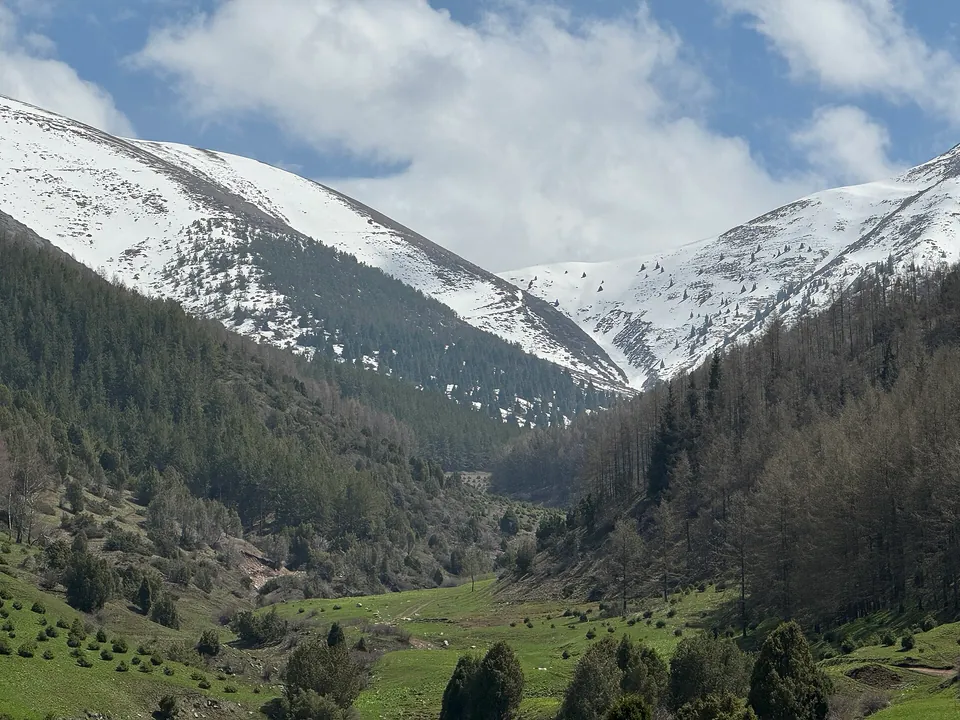 1/4. Spring in the valley, snow above Photo: Timjusup, Wikimedia Commons, CC BY-SA 4.0; edited for this site.
 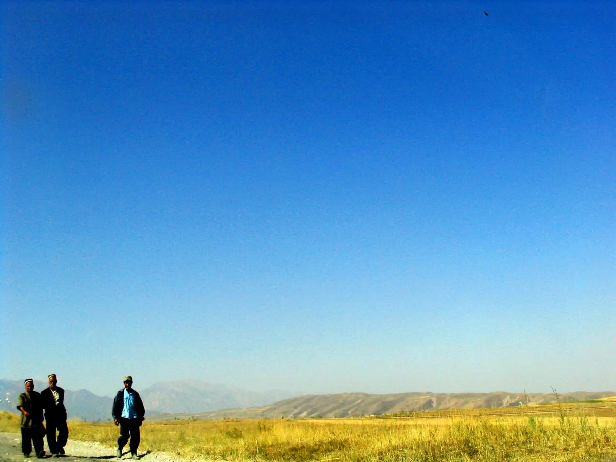 2/4. The dry landscape of the south Photo: Ben Paarmann, Wikimedia Commons, CC BY 2.0; edited for this site.
 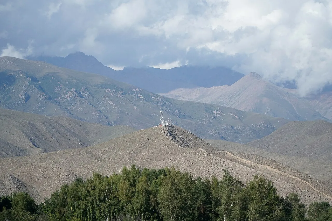 3/4. Clouds over the Issyk-Kul basin Photo: Adam Harangozó, Wikimedia Commons, CC BY-SA 4.0; edited for this site.
 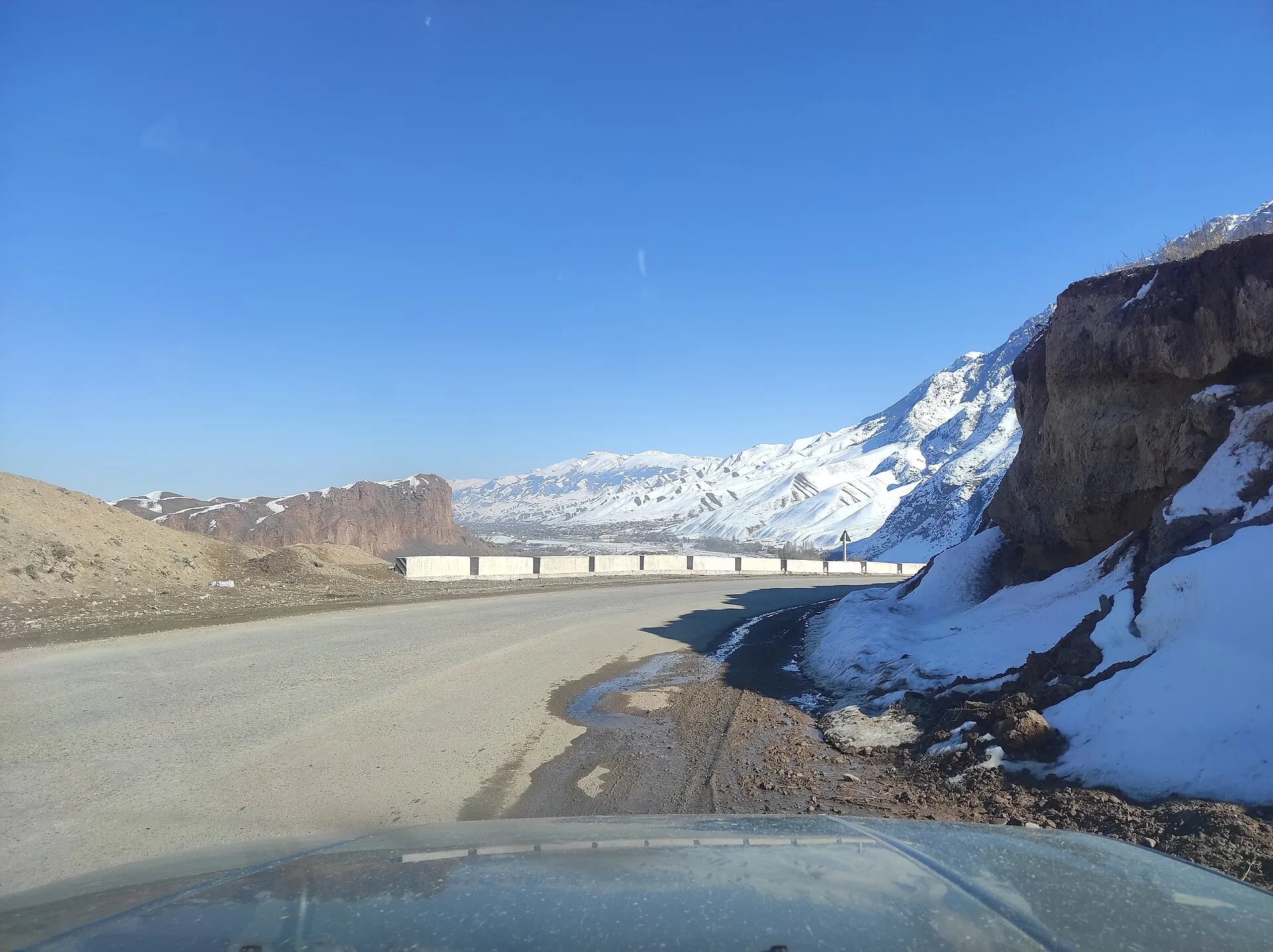 4/4. A winter road in Naryn Region Photo: Artelow, Wikimedia Commons, CC0 1.0; edited for this site.
 Kyrgyzstan's Ministry of Natural Resources identifies climate zones ranging from arid valleys and steppe to boreal woodland, alpine tundra and permanent frost. Its official overview of climate types shows why one calendar rule cannot cover the whole country.
The climate is already changing. Data from 22 Kyrgyzhydromet weather stations show an average temperature rise of about 0.28°C per decade from 1981 to 2020. Spring changed most strongly in that dataset. Historical normals remain useful context, but they do not replace a current forecast.
Kyrgyzstan's climate by region
Bishkek and the foothills
- Summer in the valley is hot and mostly dry, while winter is cold and changeable.
- Ala-Archa and other gorges are cooler, and snow remains for longer.
- Spring reaches the lower slopes before the high trails become accessible.
Issyk-Kul and Karakol
- The large lake reduces seasonal temperature swings near the shore.
- The western basin is drier, while the eastern end receives more precipitation.
- Gorges and passes are considerably colder than the lakeshore.
Osh, Manas and Batken
- The lower valleys have hot, dry summers and relatively mild winters with little snow.
- Spring arrives earlier than in the central highlands.
- A short climb into the foothills quickly changes the temperature and rainfall.
Naryn and high basins
- Winter is long and cold, while the summer period is short.
- Nights remain cool even after a warm, sunny day.
- Roads to lakes and jailoo pastures depend on snow, washouts and pass conditions.
Weather in Kyrgyzstan by season
Spring
The valleys turn green, and flowering moves from south to north and gradually higher up the slopes.
- Snow and avalanche danger remain in the mountains.
- Rain and thawing ground affect unpaved access roads.
- Check recent photographs for flowers instead of relying on last year’s date.
Summer
More high-altitude roads, trails and seasonal yurt camps become accessible.
- Bishkek, Osh and the lower valleys can experience intense heat.
- At elevation, carry a warm layer and rain protection.
- A downpour or thunderstorm can change the safe plan within a day.
Autumn
Early autumn suits quieter travel while high roads and seasonal accommodation are still operating.
- Nights become colder quickly.
- Yurt camps and summer cafés close on different dates.
- The first snow can reach a pass before it reaches the town below.
Winter
Cities continue with everyday life, while snow routes require dedicated winter preparation.
- Daylight is short, and roads can have ice or temporary restrictions.
- The ski season depends on slope readiness and current weather.
- A summer trail may cross avalanche terrain in winter.
When to travel for different plans
There is no single best month for Kyrgyzstan. Choose the season around the main experience of your trip, then fit the remaining stops around it.
Late spring or early autumn
- Walking in Bishkek, Osh and historic sites is easier outside the peak heat.
- Flowering and autumn colour cannot be promised for one exact date.
- Any mountain excursion still needs its own forecast.
July and August
- This is the main period for swimming and summer services along the shore.
- The north shore is busier and accommodation is in greater demand.
- A warm layer remains useful in the evening and in nearby gorges.
Summer and early September
- More roads into Son-Kul and other high basins are accessible.
- Confirm that the pass and camp have opened before setting out.
- Keep a spare day for weather and road delays.
After the season is announced
- Check the actual condition of slopes, lifts and the access road.
- A calendar date does not guarantee snow.
- Summer gorges need a fresh route assessment in winter.
A straightforward first summer itinerary combines cities, a circuit around Issyk-Kul and one high-altitude excursion. Confirm pass and accommodation conditions before travelling to Son-Kul. In spring, the short season is visible along the route to the poppy fields near Gornaya Maevka. For winter, it is easier to plan around an operating ski area such as Karakol Ski Base.
Weather hazards to consider
Heat and sun. In the lower valleys, schedule summer walks for morning or evening, wear a hat and drink water regularly. Cool mountain air can hide the strength of the sun, so skin and eye protection matter at elevation too.
Thunderstorms, hail and strong wind. During a thunderstorm, leave ridges and exposed summits, do not shelter beneath a lone tree, and do not continue towards a pass simply to reach a planned waypoint. Turning around before the rain is usually easier than navigating fog and wet rock.
Heavy rain and mudflows. A dry, narrow channel can collect water from a large slope very quickly. If rain is falling higher in a gorge, stay out of canyons and do not park in a riverbed. After heavy rain, ask about bridges and unpaved road conditions.
Snow, ice and avalanches. Check avalanche alerts and road restrictions in winter and spring. A mapped summer trek does not prove that the same slope is safe under snow. Kyrgyzstan's single emergency number is 112.
How to check the forecast before a route
- Open Kyrgyzhydromet's seven-day forecast for the region and nearest town.
- Check the highest point separately: the pass, lake, gorge or ski area. If there is no precise forecast, compare several nearby places and account for elevation.
- Read storm and avalanche alerts, then ask your accommodation, guide, base or a driver who has travelled there recently about the road.
- Repeat the check the evening before and again in the morning. A week-old screenshot can guide an outline plan, but not the decision to set out.
A forecast gives a probability and range, not a promise. Decide on a fallback in advance: a town walk, the lower part of a gorge or a day without a long transfer. This is particularly useful in Naryn, where the nearest high road experiences different conditions from the town in the valley.
What to pack for different seasons
A three-layer system works for most trips: everyday clothing next to the body, an insulating layer and protection from wind and rain. In summer, some of it may stay in your backpack until evening. In winter, every layer must suit the real temperature and the amount of time you may spend outside a vehicle.
- All year: closed footwear, sunglasses, a hat, water, a power bank and an offline map.
- Spring: water-resistant footwear, a light jacket, spare socks and clothing for colder elevations.
- Summer: sun protection, a light rain shell and a warm layer for evenings or passes.
- Autumn: insulation for overnight stays and a margin for early snow.
- Winter: proper winter clothing, gloves, grippy footwear and vehicle equipment suited to the particular road.
Choose the region and elevation first, then the season. Next, check the entry requirements, prepare your cash and cards, and match the weather to your chosen route through Kyrgyzstan.
Share on social media
If you found this guide useful, share it on social media. It takes a moment and helps more travellers discover the project. Thank you!
Anything to add?
Share your experience, leave a comment or suggest an improvement.