Contents:
Who is Kok-Moynok for?
Kok-Moynok fits easily into a journey between Bishkek, Balykchy and Kochkor. A vehicle reaches close to the canyon, with the main sandy towers and gullies beginning near the parking area. This is a short independent walk without high altitude or a large climb.
Do not confuse Kok-Moynok with Konorchek Canyons. Both lie near Boom Gorge and consist of loose sedimentary rock, but they have different approaches. Kok-Moynok is closer to Balykchy and has a short walk in. Konorchek begins at the Red Bridge and suits a longer hike.
Weather, rather than technical difficulty, is Kok-Moynok's main restriction. Dry channels collect water quickly from a large area. If rain is falling over the mountains, a narrow gully can flood even while the sun still shines over the parking area.
How to reach the canyon
From Bishkek, drive through Boom Gorge. After crossing the Chü River, turn towards Kochkor and Naryn, then take the road to Kok-Moynok-2. Several junctions inside the village are not obvious, so save the parking point and an offline map in advance.
The final section follows an unpaved road beside the Chü. An ordinary car normally manages it in dry weather, although low clearance demands care. Rain produces ruts, soft ground and washouts. Do not enter side channels merely because other tyre tracks are visible.
The Tourism Department gives a distance of 12.5 km from Balykchy to the natural site. A detailed local track measures about 1.3 km from the parking area, with up to 170 metres of ascent. Allow 2 to 3 hours for the walk and return.
Turn back at the first sign of a downpour. Muddy water, fresh streaks on the walls and rapidly strengthening wind mean it is time to leave. Never wait for a flood inside a narrow channel.
Why sandy towers formed here
The canyon cuts through sediment in the Kok-Moynok basin. Sand, clay and denser layers erode at different rates. Water deepens the channels, wind and temperature changes loosen the edges, while more resistant fragments remain as walls and towers.
Iron-bearing minerals create red and ochre shades. Side light makes the colour more pronounced, but a sunset photograph is not worth returning along an unfamiliar dirt road in complete darkness. There is no lighting or dependable mobile coverage.
The canyon takes its name from neighbouring Kok-Moynok village. Russian-language texts use several forms, including Kok-Möynök, Kok-Mainok and Kok-Moynok. This page follows the spelling used by Kyrgyzstan's Tourism Department.
What to see and how to avoid getting lost
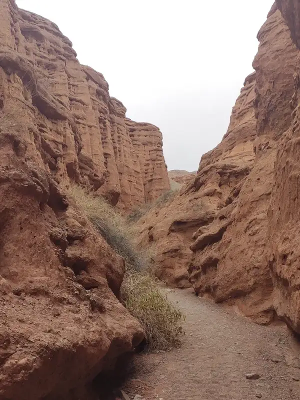 1/4. Narrow Kok-Moynok channels
 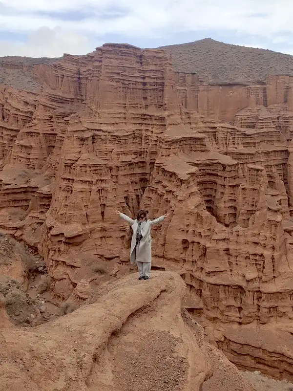 2/4. Scale of the canyon
 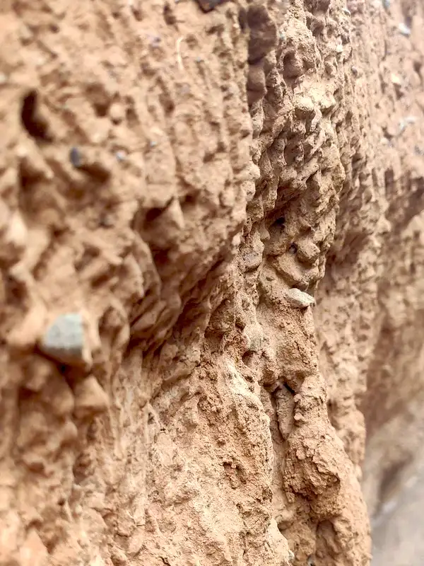 3/4. Layered walls
 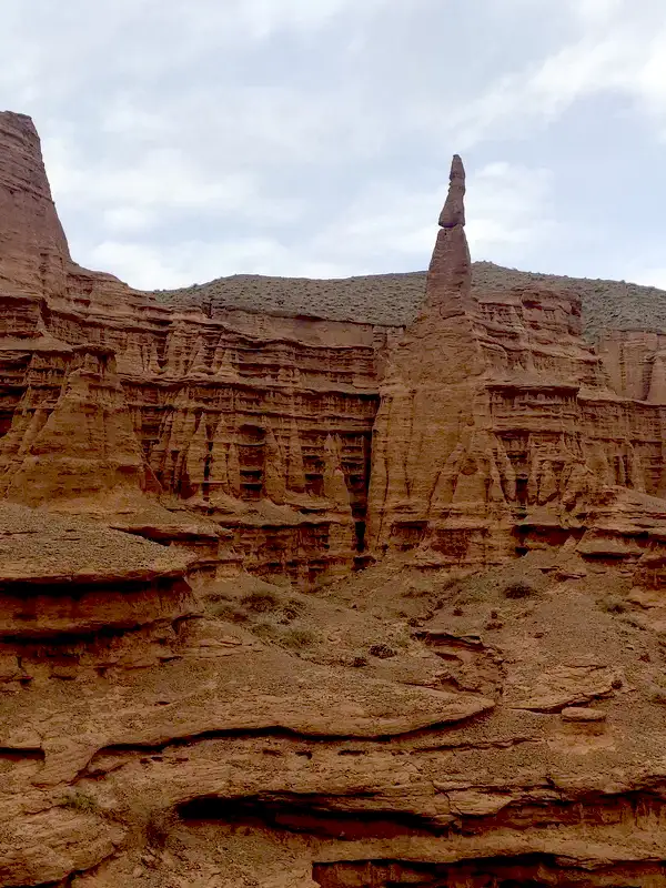 4/4. Rocket rock
 Main channel. From the parking area, follow the clearest broad gully and mark junctions as you pass them. Side branches soon look alike, and there is no marked circular trail.
Narrow passages. These expose rock layers and water marks. Do not enter them deeply alone or squeeze below an overhanging loose wall. Such sections are particularly unstable after rain.
Viewpoints. Choose a gentle, stable ascent. A ridge that is easy to climb may end in a steep scree descent. Do not damage the crests or approach an edge for a photograph.
Bring water, a hat, closed shoes and a charged phone with an offline map. Check the latest route and parking point in the Hiking.kg catalogue. If the forecast is uncertain, replace the canyon with a stop at Issyk-Kul or in Balykchy.
Share on social media
If you found this guide useful, share it on social media. It takes a moment and helps more travellers discover the project. Thank you!
Anything to add?
Share your experience, leave a comment or suggest an improvement.