What the Konorchek route is like
The first kilometres follow a dry channel between grey walls. Red towers and the broad central canyon do not appear beside the parking area, so Konorchek is not a five-minute roadside stop. Allow about 90 minutes to the main panorama, followed by the same route back.
Choose the length on the day. The basic route ends in a broad open area among rock towers. Beyond it, the channel divides and a track can extend to 6 km from the parking area with roughly 430 metres of ascent. A first visit does not require the distant branches.
The main route needs no technical climbing, but it includes large boulders, short steep ascents and places with a rope. A knee injury, very young children or a dog can make it harder than photographs suggest.
How to reach the Red Bridge
The Tourism Department places Konorchek about 141 km from Bishkek. Driving to the start takes 2 to 2.5 hours along the road through Boom Gorge. No four-wheel drive is needed: leave the vehicle beside the railway crossing before the Red Bridge and continue on foot.
This is a fast, busy road. Do not stop on the shoulder immediately after the turn or cross at an unpredictable point. Use an existing parking area, make sure the vehicle does not obstruct the crossing and save its coordinates.
Intercity transport towards Balykchy can theoretically drop you near the turn, but a return pick-up on the main road is not guaranteed. A waiting driver or organised transfer is safer for an independent day.
Konorchek is dangerous during and after heavy rain. Loose deposits erode quickly and the dry channel becomes a debris-flow route. Cancel the hike if the Chü has turned reddish or fresh mud lies at the entrance.
How water created the canyons
Small tributaries of the Chü cut through thick sandstone and looser deposits. Rainwater deepens channels, while wind and frost break down exposed edges. This process formed narrow corridors, columns, ridges and reddish walls.
Konorchek is also called Suluu-Terek Canyons or Red Bridge Canyons. Maps and guidebooks use the names inconsistently, so the parking point and a GPS track matter more for navigation than one label.
An older description promised an ancient volcano, seashells, petroglyphs and a "silver poplar" without connecting these claims with verifiable points along the route. Without a geological section or archaeological source, such details hinder rather than help a traveller.
What to see and how to return
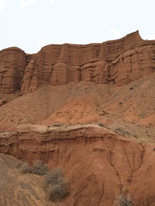 1/4. Main section of Konorchek
 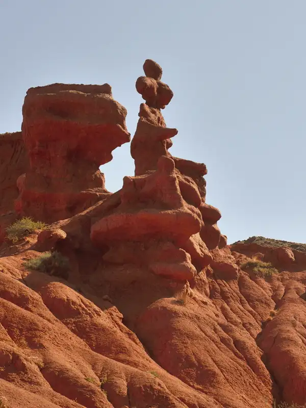 2/4. Sandstone towers
 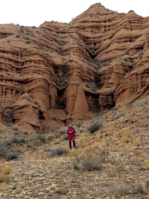 3/4. Broad part of the canyon
 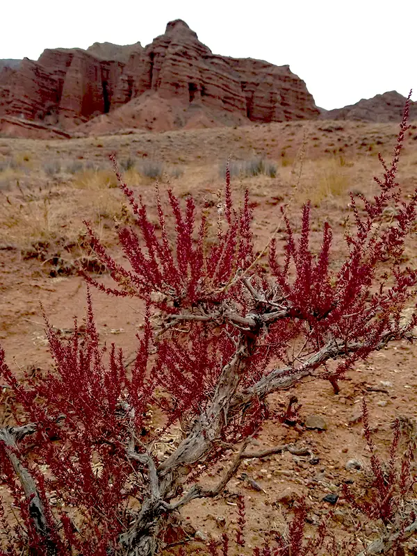 4/4. Vegetation in the dry valley
 Narrow entrance gorge. Here you work around boulders and choose passages through the channel. Remember awkward points, as they look different on the return.
Central panorama. Towers and ridges appear as the walls open. This is a good turning point for a first visit. Add a viewpoint only by following a stable path.
Distant branches. They create a real maze without one correct loop. Do not enter without a downloaded track, enough daylight and someone who knows the way out.
Start early in summer, when the canyon offers almost no shade or water. Carry at least 1.5 to 2 litres per person, a hat, closed shoes, food and a torch. Compare the popular route with the map on Hiking.kg.
Share on social media
If you found this guide useful, share it on social media. It takes a moment and helps more travellers discover the project. Thank you!
Anything to add?
Share your experience, leave a comment or suggest an improvement.