Contents:
Who should use the alternative road in 2026?
In 2026, the corridor operates as a temporarily open daytime road between Balykchy and Manas. It is particularly useful when heading south from Issyk-Kul, Kochkor or the central Tian Shan. The route avoids the large detour through Bishkek, Too-Ashuu and Toktogul, but it still needs spare time and a same-day status check.
The official six-hour estimate applies only to the 433-kilometre Balykchy-Manas section. A Bishkek-Osh journey must also include the approach to Balykchy through Boom Gorge, stops and the onward drive from Manas to Osh. Compare the complete door-to-door journey, not two isolated headline figures.
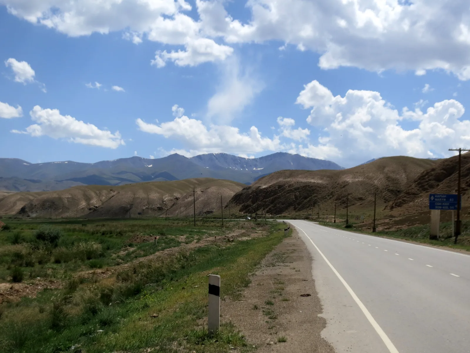 1/3. The northern section beyond Kochkor Photo: ThomasG, Wikimedia Commons, CC BY-SA 3.0; edited for this site.
 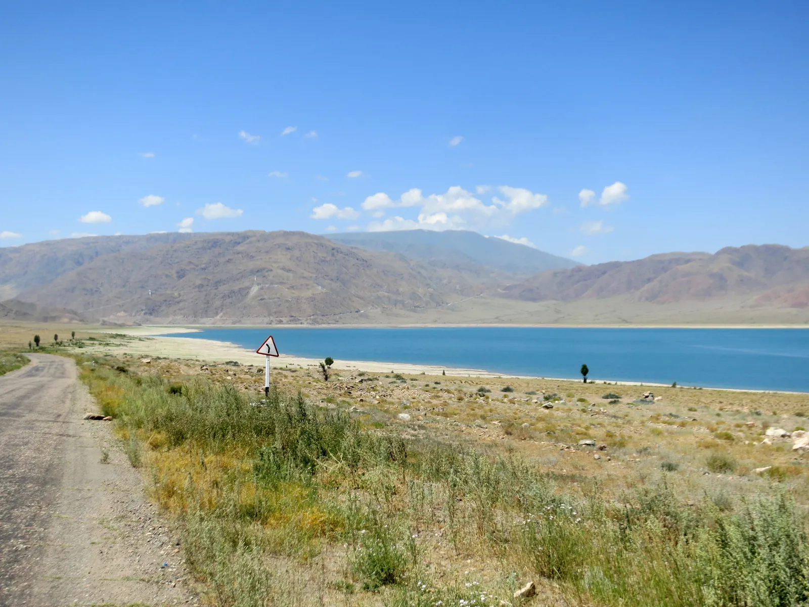 2/3. Orto-Tokoy on the way from Balykchy Photo: ThomasG, Wikimedia Commons, CC BY-SA 3.0; edited for this site.
 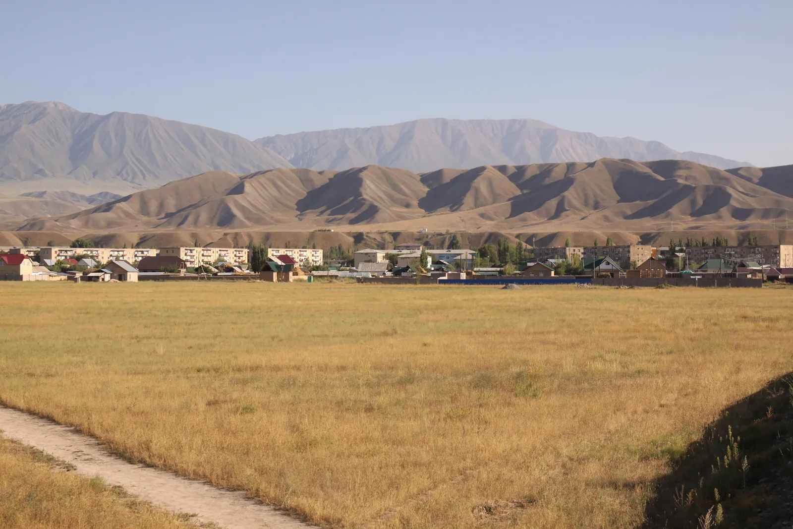 3/3. The high valley around Kazarman Photo: JohnNewton8, Wikimedia Commons, CC BY-SA 4.0; edited for this site.
 Starting from Issyk-Kul or Naryn Region
- You are already near Balykchy, Kochkor or Chaek.
- The road is officially open, the forecast is dry and you can finish the difficult sections in daylight.
Driving from Bishkek to Osh
- Add the approach to Balykchy and the Manas-Osh section.
- Do not turn the official six hours between the corridor endpoints into a promise for the complete journey.
Darkness, heavy rain or a closure
- Entry after 20:00 is prohibited in 2026.
- A rockfall, roadworks or a restriction at the tunnel takes priority over your itinerary or hotel booking.
The route via Kochkor, Chaek and Kazarman
From Balykchy, the road follows Orto-Tokoy Reservoir to Kochkor, then runs via Kyzart and Chaek into the Kökömeren valley. It crosses the Naryn near Aral, passes Kazarman, climbs towards Kok-Art and descends through the new tunnel into the Fergana Valley and Manas.
Two names at the southern end. Jalal-Abad city was renamed Manas in 2025. Project documents, older road signs and maps may still use the former name; our city guide appears under Manas.
The map above shows the correct sequence of towns, but navigation software may choose an older detour, miss a temporary restriction or suggest a minor unpaved road. Follow official signs at junctions, do not treat Song-Kul as a shortcut and keep the key waypoints available offline.
Access rules in 2026
As of 22 August 2026, the road is temporarily open until November, between 06:00 and 20:00 only. The axle-load limit is 11.5 tonnes. The Ministry of Transport plans full commissioning in 2028; protective structures and service facilities are still being completed. Our overview of Kyrgyzstan’s major projects in 2026 places this road beside the country’s other transport and energy construction programmes.
Check the status on the morning you travel. The general opening notice does not prevent a rockfall, downpour or construction operation from stopping traffic for a time. Before leaving, read the latest Ministry of Transport notice and look for fresh updates on the Aral-Kazarman and Kok-Art sections.
Do not aim to enter at 19:30. You need enough time to clear the controlled section and any queue before closing, while a delay behind road crews can quickly use up the margin. On a first trip, leave Balykchy or Manas soon after daylight.
Kok-Art Tunnel and cashless toll
The tunnel beneath Kok-Art Pass is 3.89 kilometres long. It takes the road from the high mountain section towards the Fergana Valley and replaces the seasonal crossing over the pass. Keep your lights on, leave a proper gap and never stop inside for a photograph.
The toll plaza stands at kilometre 318. In 2026, it accepts cashless payment only: a bank card, QR code or another electronic method. The M1 passenger-car tariff is KGS 100 for a vehicle registered in Kyrgyzstan and KGS 200 for a foreign or transit vehicle. Separate rates apply to minibuses, buses, lorries and trailers.
Carry a payment card that works in Kyrgyzstan and keep a second electronic option in reserve. The Ministry of Transport publishes the full tariff table on its Kok-Art toll page. With a hire car, confirm its country of registration and category in the documents before you set off.
Choosing a car, planning fuel and staying connected
Choose a mechanically sound car with good tyres, reasonable ground clearance, a spare wheel and reliable brakes. The badge on a four-wheel-drive system matters less than the car's ability to finish a long mountain day without overheating or punctures. Ask the rental company whether this route is permitted and what assistance exists outside towns.
Refuel in the larger settlements rather than relying on one pump farther ahead. A full tank in Balykchy or Manas, a top-up in Kochkor, Chaek or Kazarman and a reserve to the next town are safer than a calculation that uses every litre. Carry water, food for one delay, a warm layer, first-aid kit, torch, pump or compressor and tow rope.
Mobile coverage disappears in valleys and near passes. Download an offline map, save the coordinates of your accommodation and tell someone when you expect to be back in contact. Services along the new corridor are still developing, so do not build each stage around a guaranteed café, toilet, tyre shop or mobile signal.
Rockfalls, roadworks and mountain weather
Road crews cleared several rockfalls from the middle part of the corridor in spring and summer 2026. The risk rises after heavy rain, rapid thawing and beside freshly cut slopes. Do not wait below loose rock, squeeze past machinery at the edge or continue beyond a closure barrier.
Protective flyovers and avalanche galleries are still being built near Kok-Art. Expect construction traffic, dust, narrow lanes and brief holds. Snow and ice add another hazard in late autumn and winter; a temporary summer opening does not amount to year-round access.
If the forecast shows heavy rain, postpone the drive or check the main highway separately before choosing it. Turn around only at a safe place, never in a narrow cutting. Kyrgyzstan's single emergency number is 112.
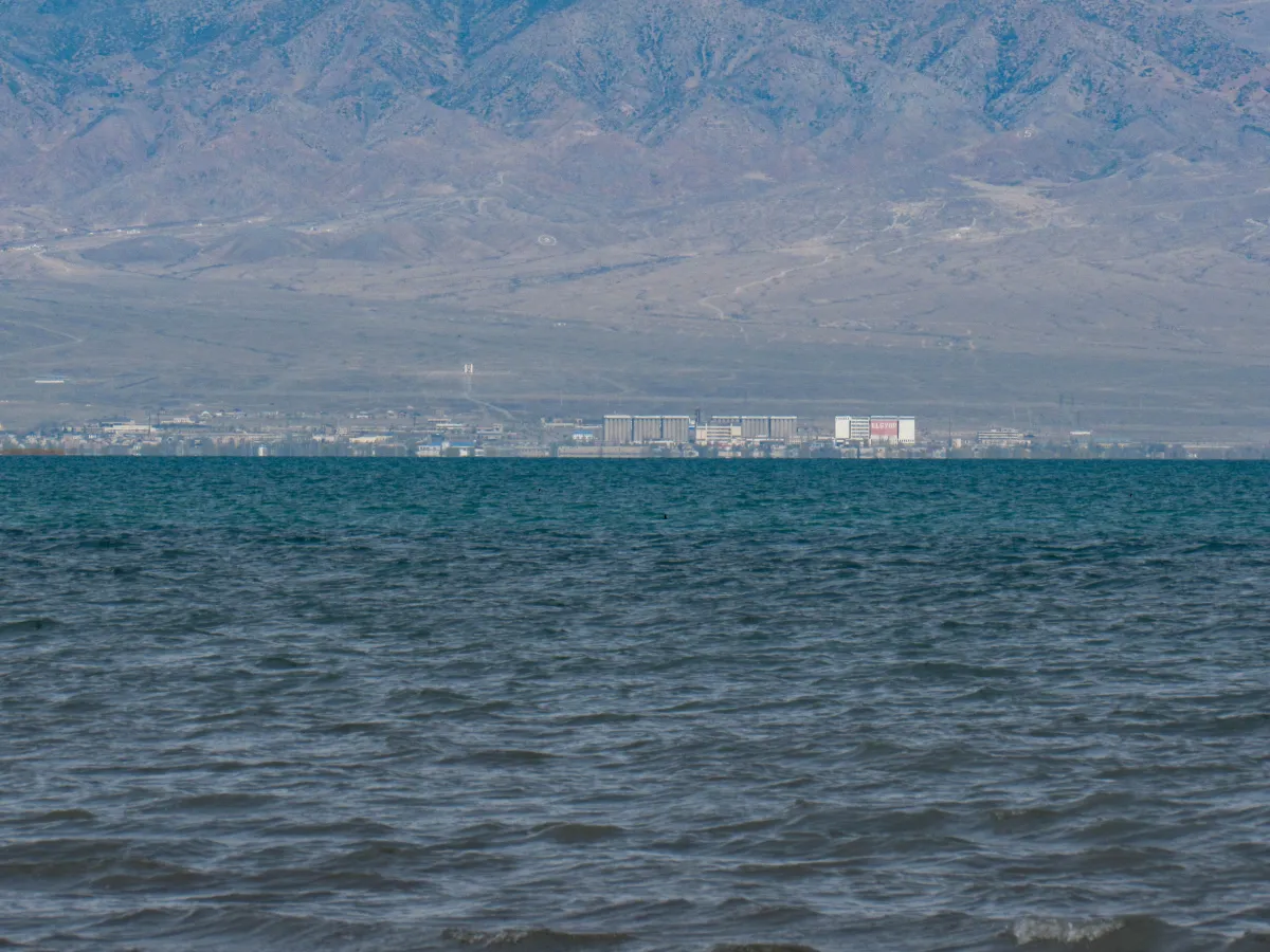 1/2. Balykchy, the northern end of the corridor Photo: Nikolai Bulykin, Wikimedia Commons, CC BY-SA 4.0; edited for this site.
 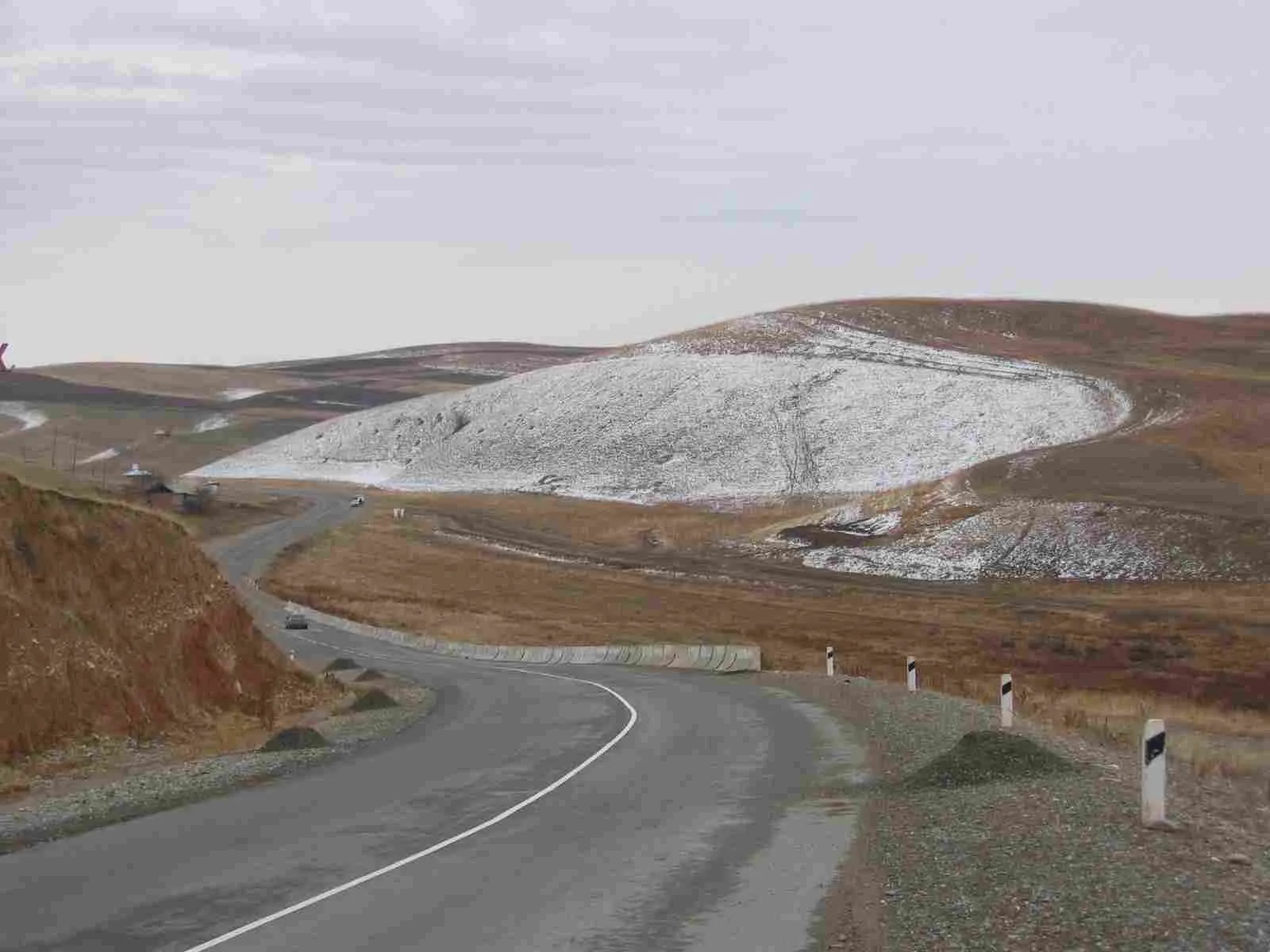 2/2. The onward road from Manas to Osh Photo: celichowster, Wikimedia Commons, CC BY-SA 2.0; edited for this site.
 The new road or the established North-South highway?
The alternative corridor makes most sense when the journey starts at Issyk-Kul, Balykchy, Kochkor or central Naryn Region. It reaches Manas directly via Kazarman and operates in a temporary daytime regime in 2026.
The Bishkek-Osh highway remains the direct link between the country's two largest cities via Too-Ashuu, Suusamyr, Toktogul and Kara-Kul. The official route is longer and it also faces weather and roadworks, but it has more established stopping places and needs no approach to Balykchy. Our separate Bishkek-Osh road guide explains its sections, timing and overnight option.
Choose only after checking both roads that morning. If one corridor closes, the other is not automatically a convenient diversion: its starting point may be far away and all its own restrictions still apply.
Checklist before departure
- the latest official status for the road, Kok-Art Tunnel and rain-affected sections;
- an entry time with a generous margin before the 20:00 restriction;
- forecasts for Kyzart, Kazarman and Kok-Art, not just the endpoint cities;
- tyres, brakes, cooling, spare wheel, fuel and the hire company's permission;
- a working card or QR payment option for the Kok-Art toll;
- an offline map, water, food, warm layer and an accommodation plan that needs no late search.
Set a daylight turnaround point and never try to recover lost time with speed. A good plan leaves room for roadworks, the landscape and a genuinely safe stop.
Share on social media
If you found this guide useful, share it on social media. It takes a moment and helps more travellers discover the project. Thank you!
Anything to add?
Share your experience, leave a comment or suggest an improvement.