Why stop at Orto-Tokoy?
Orto-Tokoy offers a rare opportunity to see a large engineered body of water among the dry mountains of the Inner Tian Shan. The colour of the water, winding shoreline and bare slopes are clearly visible from elevated stretches of road. For a brief stop, all you need is a public turn-off with somewhere safe to leave the vehicle.
The reservoir's appearance depends on the season and the year's water supply. In spring, the basin may fill almost to its upper mark; by the end of the irrigation period, the water can retreat by hundreds of metres and expose broad strips of the bed. A photograph in a guidebook does not promise the same shoreline during your visit.
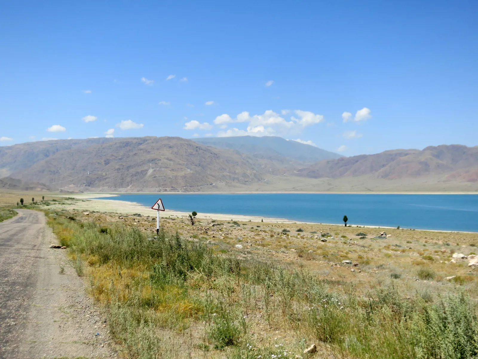 1/3. The reservoir from the Balykchy-Kochkor road Photo: ThomasG, Wikimedia Commons, CC BY-SA 3.0; edited for this site.
 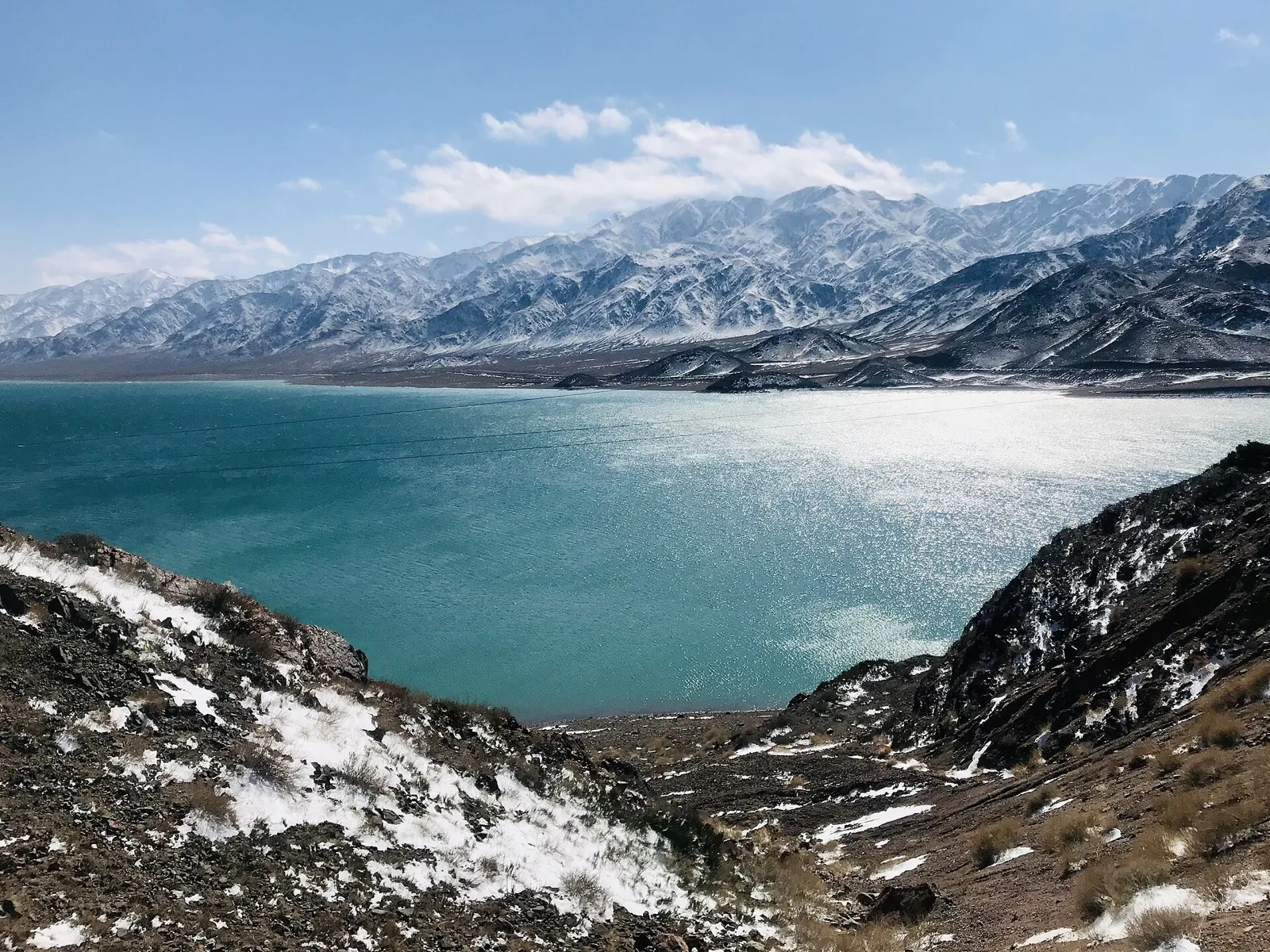 2/3. Orto-Tokoy in winter Photo: Timjusup, Wikimedia Commons, CC BY-SA 4.0; edited for this site.
 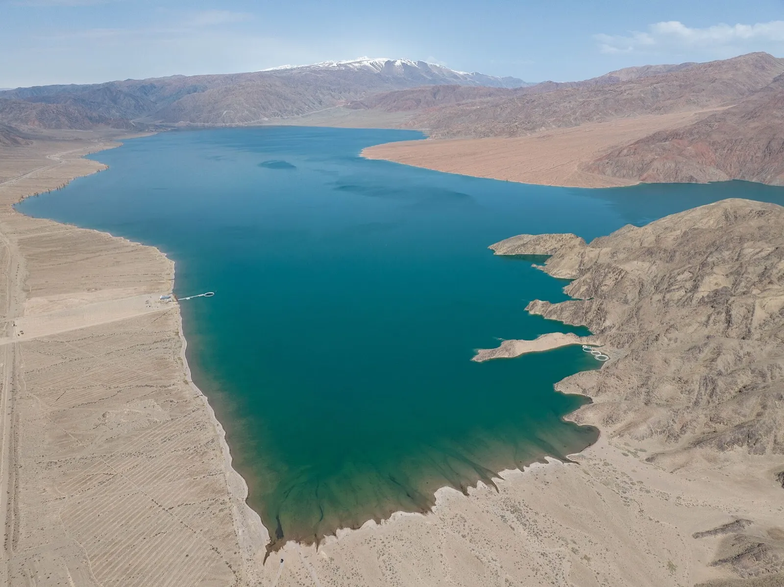 3/3. The reservoir shape and water level from above Photo: Nikolai Bulykin, Wikimedia Commons, CC BY-SA 4.0; edited for this site.
 This is an operating hydraulic facility, not a developed beach. There are no guaranteed car parks, lifeguards, boat hire or prepared picnic areas. View the dam, outlet works and service roads only from an authorised distance.
The road between Balykchy and Kochkor
The reservoir lies on the route from Balykchy to Kochkor. From Bishkek, first pass through Boom Gorge and Balykchy, then turn towards Kochkor. From Naryn, travel in the opposite direction through Kochkor. An ordinary car is suitable for the main road, and there is no need to follow a random track down to the water.
For a stop, look for a broad area where the vehicle can leave the carriageway completely. Do not park after a blind bend or stand in the road for a photograph. In winter, expect wind, ice and snowdrifts, while the exposed landscape intensifies the cold.
The navigation links lead to the reservoir but do not mark an official viewpoint. If a barrier, sign or member of staff restricts access, choose another open point along the route.
The country's first reservoir
Orto-Tokoy Reservoir was built on the Chu River and entered service in 1960. The Water Resources Service calls it the first reservoir constructed in the territory of the Kyrgyz Republic. It stores spring and summer flow, then releases water during the irrigation season.
The basin has a total capacity of about 470 million cubic metres and a usable capacity of roughly 450 million cubic metres. Its water irrigates approximately 220,000 hectares in Kyrgyzstan and 80,000 hectares in Kazakhstan. A low summer level therefore reflects the operation of the water-management system and the year's water supply, rather than the lake permanently disappearing.
The dam is about 52 metres high and 365 metres long. These figures convey its scale, but do not make the structure a visitor attraction. The tunnels, gates and outlet works are operating infrastructure.
A safe stop by the water
Shore. Do not drive onto the exposed bed. A dry crust can conceal deep mud, and the water level changes after releases. Other tyre tracks do not prove that the ground is safe.
Ice. Winter ice at Orto-Tokoy attracts photographers with its pattern of cracks, but you must not walk onto it. The reservoir is regulated, with currents and changing levels beneath the ice, and there is no official strength assessment for visitors.
Fishing. The presence of fish does not mean fishing is unrestricted. Check seasonal closures and permitted tackle before setting out. Synthetic nets are prohibited in Kyrgyzstan, and inspectors regularly find them at Orto-Tokoy.
Rubbish. There is no reliable waste collection along the shore. Take packaging, charcoal and food waste away, do not wash dishes in the reservoir and do not leave a fire scar in dry grass.
Trip plan. Orto-Tokoy is easy to combine with the road to Kochkor or Naryn. In the Kochkor Valley, the same journey can include small Lake Ara-Kel when the weather is dry and the dirt-road conditions allow the detour. For a separate multi-day stay, choose somewhere with official accommodation and clear access rules.
Share on social media
If you found this guide useful, share it on social media. It takes a moment and helps more travellers discover the project. Thank you!
Anything to add?
Share your experience, leave a comment or suggest an improvement.