Why visit the Ak-Sai canyons?
The canyons begin in dry foothills near Ak-Sai village and descend towards the southern shore of Issyk-Kul. Water cut a maze of channels, walls and ridges through soft sedimentary rock. They remain dry for most of the year, with the blue lake appearing unexpectedly between pale slopes.
Landforms close up. From below, you see rock layers, gullies and signs of recent runoff. From above, the canyons form a network of former channels. This contrast inspired the tourist name “Valley of Forgotten Rivers”.
A walk without a required summit. There is no single official trail or fixed set of named sights. Follow part of a broad dry channel, climb to a safe viewpoint and return the same way. Let heat, wind and ground conditions determine the duration.
South-shore solitude. There is almost no shade, shopping or managed recreation. For a self-contained short walk, bring water, food, first aid, sun protection and an offline map.
How to get there
Ak-Sai village, roughly 16 kilometres from Bokonbaevo, is the landmark on the south-shore road. Turn towards Issyk-Kul and follow local signs to the canyons and camps. A single map pin is not enough: dry channels contain many forks, and navigation may suggest a damaged or washed-out turning.
The final 13 kilometres follow a difficult gravel road. Local accommodation Remote Forgotten Rivers recommends at least an SUV and considers four-wheel drive more reliable. This is useful guidance, not a guarantee: rain and repairs change the road.
With a low car, wait for a dry period or arrange a local transfer. Do not drive into a narrow channel if the forecast predicts rain in the mountains: a flash flood can arrive from above while the sky over you remains clear. After heavy rain, wait for the ground to dry.
Buy fuel and water in Balykchy or Bokonbaevo. Reception is unreliable and signs are sparse. Save an offline map, mark the return turning and tell someone where you are going. An unfamiliar dirt road is easier in daylight.
How the “Valley of Forgotten Rivers” formed
Ak-Sai is the name of the nearest village and locality. Translations vary, so do not connect it to a particular rock or single vanished river without a linguistic source.
“Valley of Forgotten Rivers” is not an official geographical name either. Travellers and local tourism projects use it for several dry canyons descending to Issyk-Kul. Long erosion formed them: infrequent but powerful surface runoff washes through loose layers and deepens old channels.
The process continues. Rain creates fresh gullies, collapses overhangs and changes the track. Canyon walls are not stable, and last year’s vehicle route is not a permanent road.
The canyons contain no verified sites called “Sun Summit”, “Trail of the Ancients”, “Photographers’ Pass” or “Bridge through Time”. Those names appeared in an older version of this page but do not identify mapped places and cannot be used for planning.
What to see and how to walk
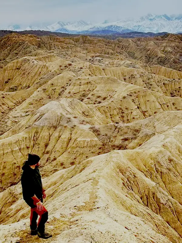 1/4. Inside a dry Ak-Sai channel
 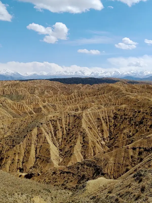 2/4. Canyon slopes
 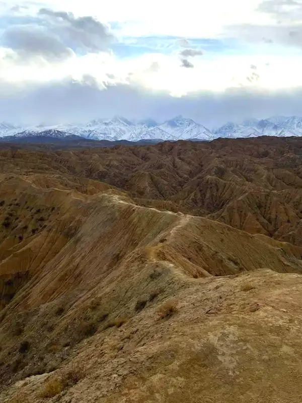 3/4. Ak-Sai panorama
 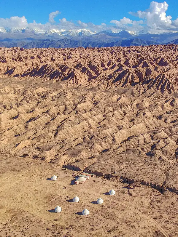 4/4. Valley of Forgotten Rivers
 Lower channel. Begin in the broad section, where you can keep away from slopes and turn around easily. Pale and rust-coloured rock layers are clearest here. Do not stand beneath an overhang or scramble up scree for a photograph.
Issyk-Kul viewpoint. Use a gentle, stable exit already worn as a trail. Stay well back from the edge of a ridge: loose ground can break without warning. Strong wind makes the viewpoint less useful and the descent harder.
Reaching the shore. Some channels continue to the lake, but vehicle and walking routes do not always coincide. Do not cut across private camp land or follow washed-out ruts. Choose a permitted approach in advance if you want to combine canyon and shore.
Spring and autumn are more comfortable after several dry days. In summer, walk in the morning or towards evening and carry extra water, as shade is scarce. Winter and thaws bring ice and sticky clay. Turn around at the first sign of rain, thunder or rapidly rising muddy water.
Share on social media
If you found this guide useful, share it on social media. It takes a moment and helps more travellers discover the project. Thank you!
Anything to add?
Share your experience, leave a comment or suggest an improvement.