Contents:
The lower valley or the lake
A short outing leads into the lower Besh-Tash Valley, where the river, pasture and broad views begin relatively close to the city. You can spend several hours here without having to climb to the lake.
The high-altitude route ends at the lake at roughly 2,999 metres. The map marker on this page points to the lake itself, not the park entrance. It is much farther away, and the final section depends on how far a vehicle can pass, water levels in the channels and the state of the ruts. Do not treat both options as the same “picnic 13 kilometres from Talas”.
What is known about the national park
Besh-Tash was designated a national park in 1996. According to the Department of Tourism, it covers 32,411 hectares and extends roughly 30 kilometres upstream along the river. The figure of about 13 kilometres refers to the closest part of the park from Talas, not to the lake.
The valley includes spruce stands, open slopes and summer pasture. This is a protected area: take all rubbish away, stay on existing vehicle tracks, do not approach livestock without the shepherd's permission and do not light fires in dry grass.
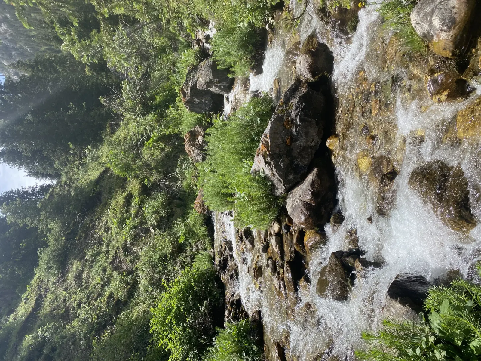 1/3. The lower valley Photo: Акматалиева Дильназ, Wikimedia Commons, CC BY-SA 4.0; edited for this site.
 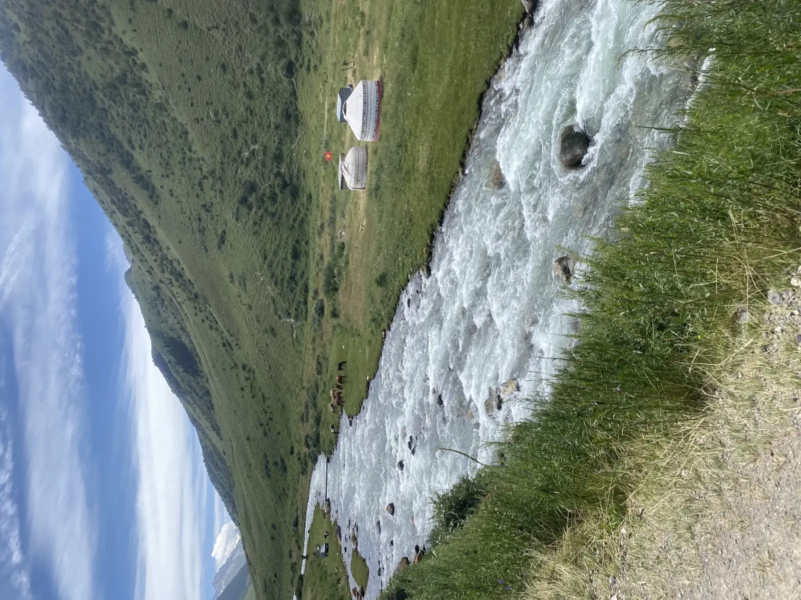 2/3. The Besh-Tash River Photo: Акматалиева Дильназ, Wikimedia Commons, CC BY-SA 4.0; edited for this site.
 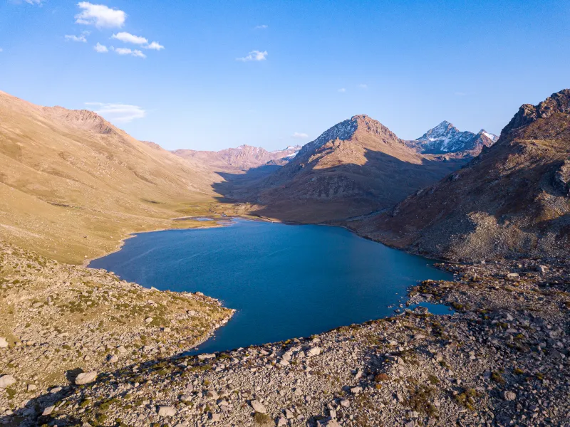 3/3. The lake basin Photo: Coopypasted, Wikimedia Commons, CC BY-SA 4.0; edited for this site.
 How to plan the route to the lake
First find out how far a vehicle can travel on the day of your visit. Even a local four-wheel-drive vehicle cannot guarantee delivery to the shore after rain, washouts or high water. Ask the driver to state the remaining walking distance, elevation gain and return time.
The walking section requires an offline track, an early start and enough time to turn back. Similar side valleys and shepherd paths can easily draw you off course, while mobile reception may disappear higher in the gorge. Water from the river and lake must be filtered or boiled.
How to get there from Talas
From Talas, drive south towards the entrance to the valley. A pre-booked taxi that waits for you can work for the lower section if the driver confirms the road. For the lake, arrange a local driver with a suitable vehicle and agree on where they will wait during your walk.
Fill the tank in town, carry cash and download the map. The park has no reliable network of shops, cash machines or mobile reception. After heavy rain, request a road assessment that morning rather than the night before.
When to go and what to bring
The lower valley is more accessible from late spring to autumn. The main season for the lake usually runs through summer and early autumn, when the high sections are free of snow. The exact dates differ each year.
- footwear with a good grip and spare dry socks;
- a windproof jacket, warm layer, hat and sun protection;
- water, a filter, food and a small emergency reserve;
- an offline map, power bank and a return time shared with someone at home;
- a first-aid kit and spare time for a slow descent.
A practical one-day plan
For the lower valley, leave after breakfast, walk beside the permitted road and return to Talas in the afternoon. For the lake, start at dawn, agree on the vehicle and walking sections in advance, set a firm turnaround time and do not add Manas Ordo at the end of the day.
It is better to visit Manas Ordo separately using our guide to the complex and mausoleum. The overview of Talas Region will help divide these outings between two days.
Share on social media
If you found this guide useful, share it on social media. It takes a moment and helps more travellers discover the project. Thank you!
Anything to add?
Share your experience, leave a comment or suggest an improvement.