Contents:
Why stop in Kara-Kul?
Kara-Kul is a city of regional significance in Jalal-Abad Region. Hydropower gives the place its identity: residential districts grew beside the Naryn and Toktogul station. You will not find a long conventional list of sights, but the town offers a clear look at life in Kyrgyzstan's narrow river-and-road corridor.
Allow two or three hours for a first visit. Confirm where your onward vehicle leaves, walk through the central streets, buy food and water, find a permitted view across the valley and return with time to spare. A full day makes sense mainly for a specialist interest in hydropower history or as a deliberate break in a long journey.
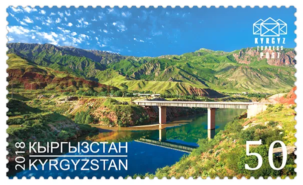 1/2. Kara-Kul bridge on a postage stamp Photo: Post of Kyrgyzstan, Wikimedia Commons, public domain; edited for this site.
 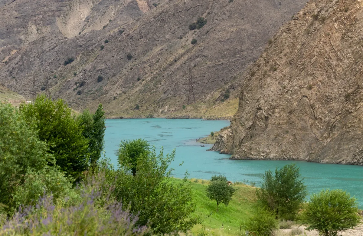 2/2. The Naryn valley on the southern approach Photo: Ninara, Wikimedia Commons, CC BY 2.0; edited for this site.
 Three different names. Kara-Kul is written Kara-Köl in Kyrgyz. Karakol lies at the eastern end of Issyk-Kul, while the city of Kara-Suu is near Osh. They are entirely separate places.
What the Naryn town looks like
Kara-Kul stretches along the river and main road. Dry slopes close in on the built-up strip, while the green Naryn remains the most useful landmark. The centre is best understood on foot: ordinary neighbourhoods, shops, the bazaar area and cafés say more about the place than a search for an invented checklist of monuments.
Start in the centre. Save the point where you were dropped off and ask where vehicles leave in your direction. Shared taxis and marshrutkas may use different pick-up spots, and the short place name is unusually easy to confuse with Karakol.
Look for a view from the public road. Bridges and bends in the Naryn reveal how tightly the town fits into the valley. Do not descend loose slopes or turn onto a service road for a photograph. In this terrain, a safe pull-off matters more than the most dramatic pin on a satellite map.
How hydropower shaped the town
Kara-Kul began in 1962 as a settlement for the builders of Toktogul Hydroelectric Power Station and became a city in 1977. That origin explains its practical street plan, workers' districts and the continuing importance of the energy industry.
Kyrgyzstan's Ministry of Energy describes Toktogul as the largest hydropower station on the Naryn and places it in Kara-Kul. The dam is upstream from the residential town. Kara-Kul itself lies below it, so it is misleading to imagine the centre as a lakeside resort. The open shores of Toktogul Reservoir appear farther north along the road.
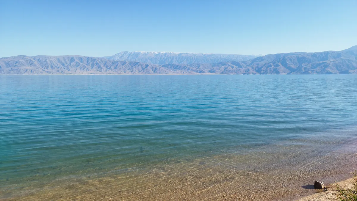 1/2. The reservoir north of Kara-Kul Photo: Arthur Dolchenko, Wikimedia Commons, CC BY-SA 4.0; edited for this site.
 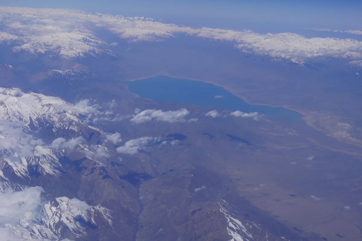 2/2. The scale of Toktogul Reservoir Photo: Thermokarst, Wikimedia Commons, CC BY-SA 3.0; edited for this site.
 The power facilities are operational sites, not visitor attractions. Do not pass fences, stop at security barriers, photograph guards or technical equipment, or fly a drone near the dam and associated infrastructure. Use an open public road for views over the valley.
A local river called Kara-Suu joins the Naryn on the western side of town. It has no connection with the city of Kara-Suu near Osh. Always include Jalal-Abad Region and check the map pin when searching for an address.
A two-hour or half-day plan
Two hours. Sort out your luggage and onward transport first. Walk through the central area, visit the bazaar or a shop, have lunch and choose one safe viewpoint over the Naryn. This plan needs no car and keeps well away from restricted infrastructure.
Half a day. Add a slow walk through the residential streets and a short drive along the main road to an authorised stopping place above the valley. A driver is useful for a reliable return to the highway, not for off-road exploration. Agree the turnaround point and return fare before setting out.
Include Kara-Kul for a considered pause and a better understanding of the road. It will not satisfy plans built around a beach, a developed promenade or a tour of the power station. Continue towards the reservoir and Toktogul for broader water views.
Where to go next
North. The road passes the dam and reaches Toktogul Reservoir, then Toktogul town. That is the more practical base for an overnight stay near the water and a choice of shoreline stops. Reservoir levels change, so assess any turn-off by the current condition of the shore.
South. The next purposeful stop is Tash-Kumyr. The road follows a rocky valley and crosses the Kök-Bel area. Fill up before the long section, do not assume that every map pin marks a working roadside service and check conditions after heavy weather or in winter.
The broader route. Beyond Tash-Kumyr you can continue towards Manas and Osh or turn west for Kerben and Sary-Chelek. Avoid packing every branch into one day. A single delay on the mountain road can use up the daylight margin.
Getting there without confusing the name
Kara-Kul sits directly on the Bishkek-Osh road. From Bishkek, the route crosses Too-Ashuu and Suusamyr before reaching Toktogul and the northern reservoir shore. From Osh, it runs through Manas and Tash-Kumyr. Weather, roadworks and lorry traffic affect the journey more than a navigation app's uninterrupted estimate.
Intercity buses, marshrutkas and shared taxis use this corridor, but pick-up points and final departures change. Say “Kara-Kul, Jalal-Abad Region” and show the pin on your map. A ticket to Karakol sends you to the opposite side of the country.
If driving, keep enough fuel for the next long section, download an offline map and never leave the car partly in the carriageway beside the river. Our Kyrgyzstan transport guide covers shared vehicles, payments and transfers in more detail.
When to visit and whether to stay overnight
Spring and autumn are the easiest seasons for a daytime walk without intense heat. In summer, begin in the morning or late afternoon and carry water and sun protection. The open slopes offer little shade.
In winter, check the passes and the Tash-Kumyr section before departure. Short daylight makes an improvised search for viewpoints a poor plan. Stay on the main road and stop only where the whole vehicle can clear moving traffic.
An overnight stay is useful when Kara-Kul divides a long drive into two calm days. Confirm heating, hot water, parking and late check-in before booking. If daylight and energy allow you to continue, Toktogul usually offers a wider choice for a break beside the reservoir.
Share on social media
If you found this guide useful, share it on social media. It takes a moment and helps more travellers discover the project. Thank you!
Anything to add?
Share your experience, leave a comment or suggest an improvement.