Why hike to Kel-Tor?
Kel-Tor offers a dramatic change of landscape in a single day. The trail first climbs through a green gorge, then leaves the forest and shrubs below as scree and the severe slopes of the Kyrgyz Ala-Too take over around the lake. Fine suspended mineral particles give the water its milky turquoise colour.
The route's main value is the climb itself rather than a walk beside the water. The usual estimate from the starting point to the lake is about 7-8 kilometres each way. Elevation gain depends on where you can leave the vehicle and is roughly 900-1,100 metres. Allow 3.5-5 hours for the ascent and another 2.5-4 hours for the descent.
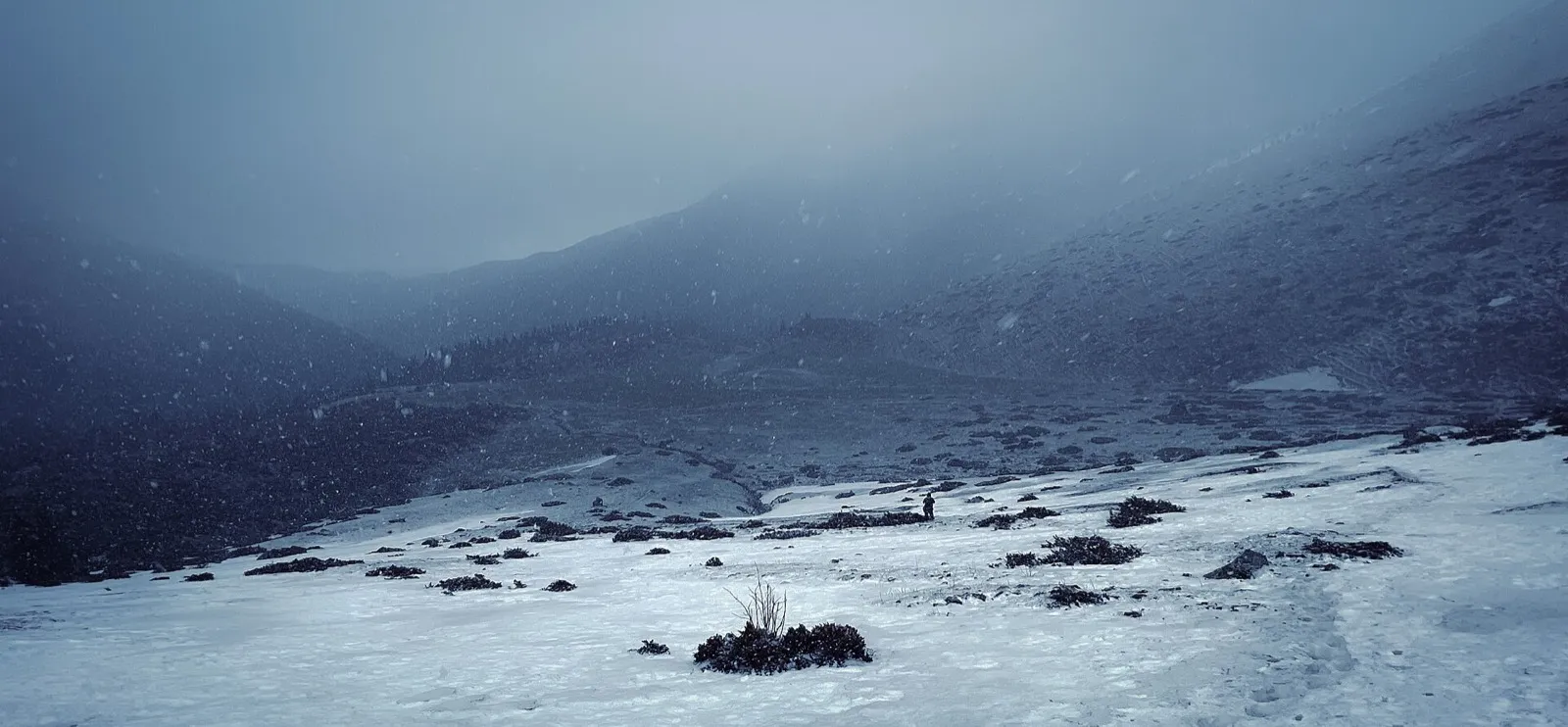 1/3. Snow on the upper section of the trail Photo: Isoosqa, Wikimedia Commons, CC BY-SA 4.0; edited for this site.
 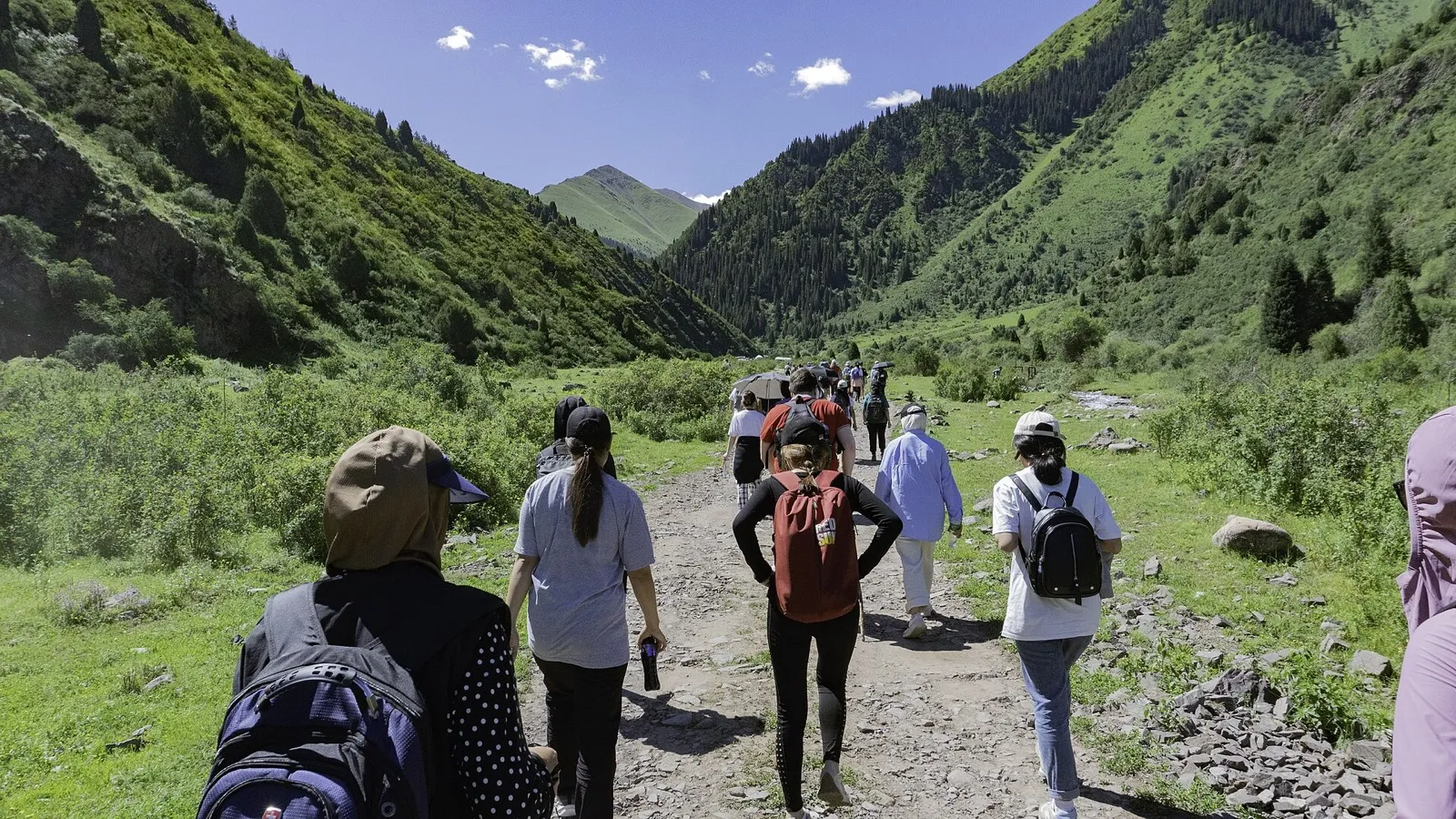 2/3. The start of the hike in the green gorge Photo: Guliaim Aiylchy, Wikimedia Commons, CC BY-SA 4.0; edited for this site.
 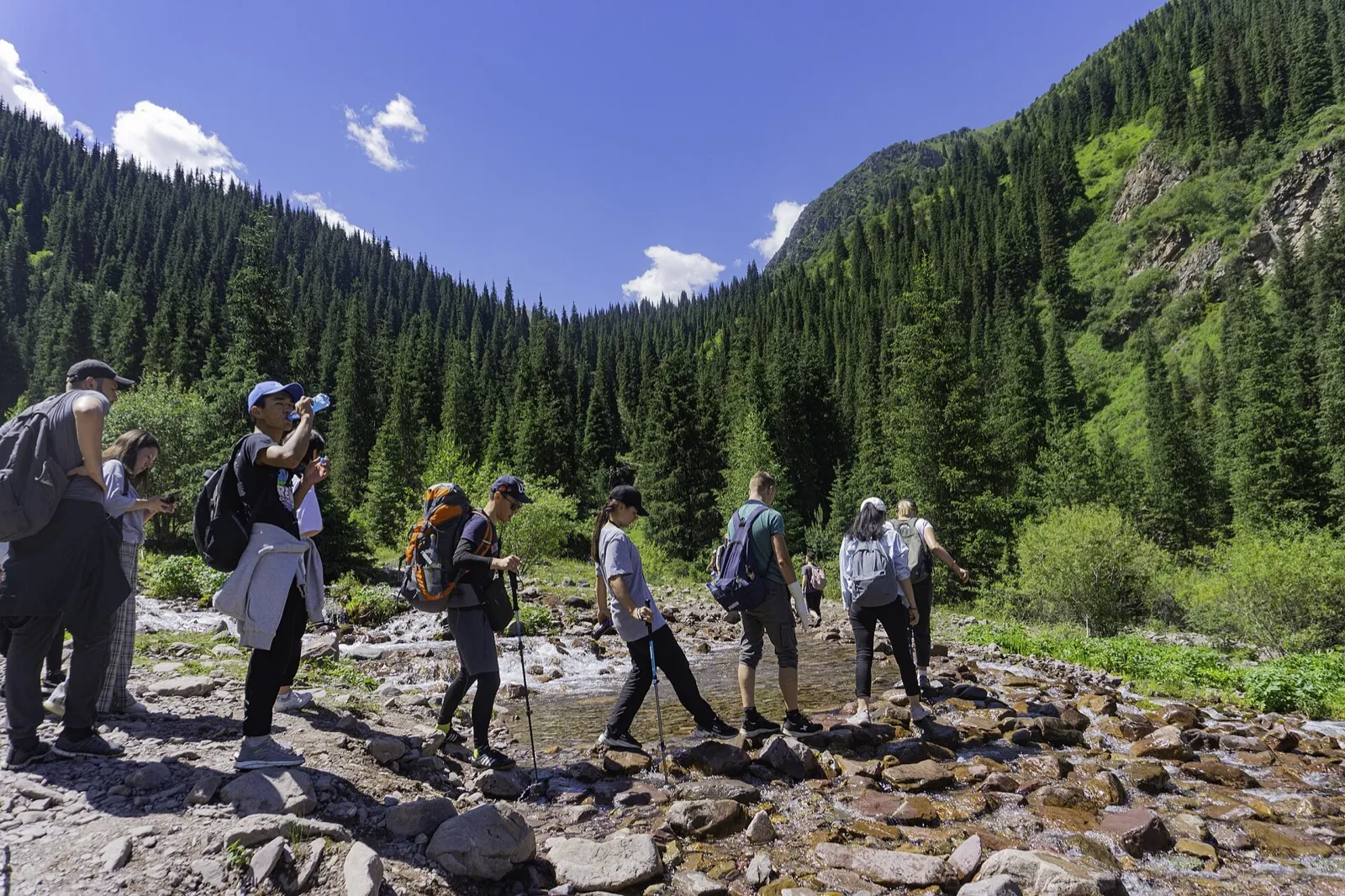 3/3. A stream crossing in Kegety Gorge Photo: Guliaim Aiylchy, Wikimedia Commons, CC BY-SA 4.0; edited for this site.
 Rule out swimming from the outset. The glacially fed water remains extremely cold even in summer, the shore is rocky, and there is no prepared entry or lifeguard. Treat the lake as the destination of a mountain hike, not a place for a beach trip.
How to reach the trailhead
From Bishkek, drive east towards Kemin, then turn towards Kegety Gorge. The entrance to the gorge is about 80-90 kilometres away. The paved road ends, and conditions on the unpaved road inside the gorge change after rain and floods. A low car may not reach the usual starting point, so allow for the extra road section when assessing the length of the hike.
Your navigation app shows the lake itself but cannot guarantee vehicle access to the trailhead. Save an offline map and route track in advance, and do not try to cut across scree when you arrive. The gorge contains junctions, and an early start gives you time to find the correct direction without rushing.
For a first visit, take a local guide or join a group. The route is physically harder than a walk to Kegety Waterfall: it has a long ascent, greater altitude and almost no opportunity to return quickly to the vehicle if the weather deteriorates.
How the lake formed
Kel-Tor lies at the head of a side valley of Kegety Gorge on the northern slope of the Kyrgyz Ala-Too. Its elevation is usually given as 2,700-2,725 metres. Kyrgyzstan has several lakes and places with the same name, so check that your route uses the coordinates 42.527599, 75.151143.
A natural mass of broken rock dams the lake. Almost no surface outflow is visible: water seeps through the blockage and emerges lower down the gorge. The level and colour change with the season, and there is usually more water after a snowy winter and during active snowmelt.
The name consists of common Turkic geographical words. “Köl” means lake, while “tör” in place names refers to the upper, far end of a valley or gorge. The popular translation “abandoned lake” is therefore best avoided.
Preparing for the route
Season. Summer and early autumn are the most straightforward times to hike, once deep snow has cleared from the trail. Snowfields can remain high up even in June. After heavy rain, the unpaved road, streams and steep sections become more dangerous.
Time. Leave Bishkek early in the morning. If you are still far from the lake by the middle of the day, it is safer to turn around: descending a wet or dark trail takes more energy than the ascent might suggest.
Equipment. Bring hiking footwear, protection from wind and rain, a warm top, hat, sunglasses, and enough water and food. Poles help on the long descent. Keep your phone in power-saving mode; reception is unreliable in the upper gorge.
Altitude. A rapid climb to almost 2,700 metres can cause headache and weakness. Do not compete with the group's pace, drink small amounts of water regularly and turn back if you feel increasingly unwell.
Shore. Do not approach the water over unstable rocks or climb the scree above the lake for a photograph. Take away all rubbish, including wipes and packaging: there is no permanent cleaning service at the lake.
Share on social media
If you found this guide useful, share it on social media. It takes a moment and helps more travellers discover the project. Thank you!
Anything to add?
Share your experience, leave a comment or suggest an improvement.