Chatyr-Kul without the tourist myths
Chatyr-Kul is compelling for its open high-altitude landscape and birds, not a list of activities. This shallow, brackish lake fills a broad tectonic basin between the At-Bashy and Torugart-Too ranges. There are almost no trees or buildings, while an unbroken line of snow-covered mountains defines the horizon.
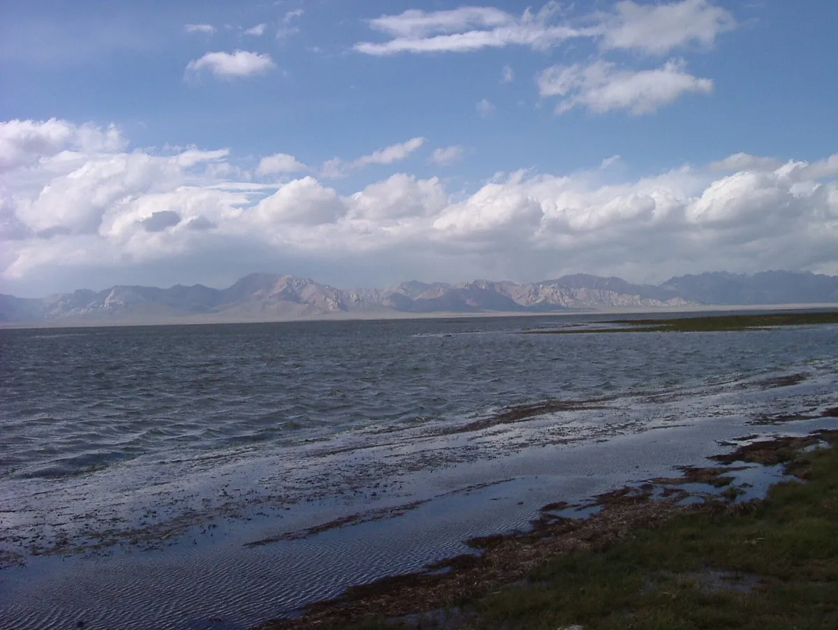 1/3. The open shore of Chatyr-Kul Photo: Nurdjen, Wikimedia Commons, Public domain; edited for this site.
 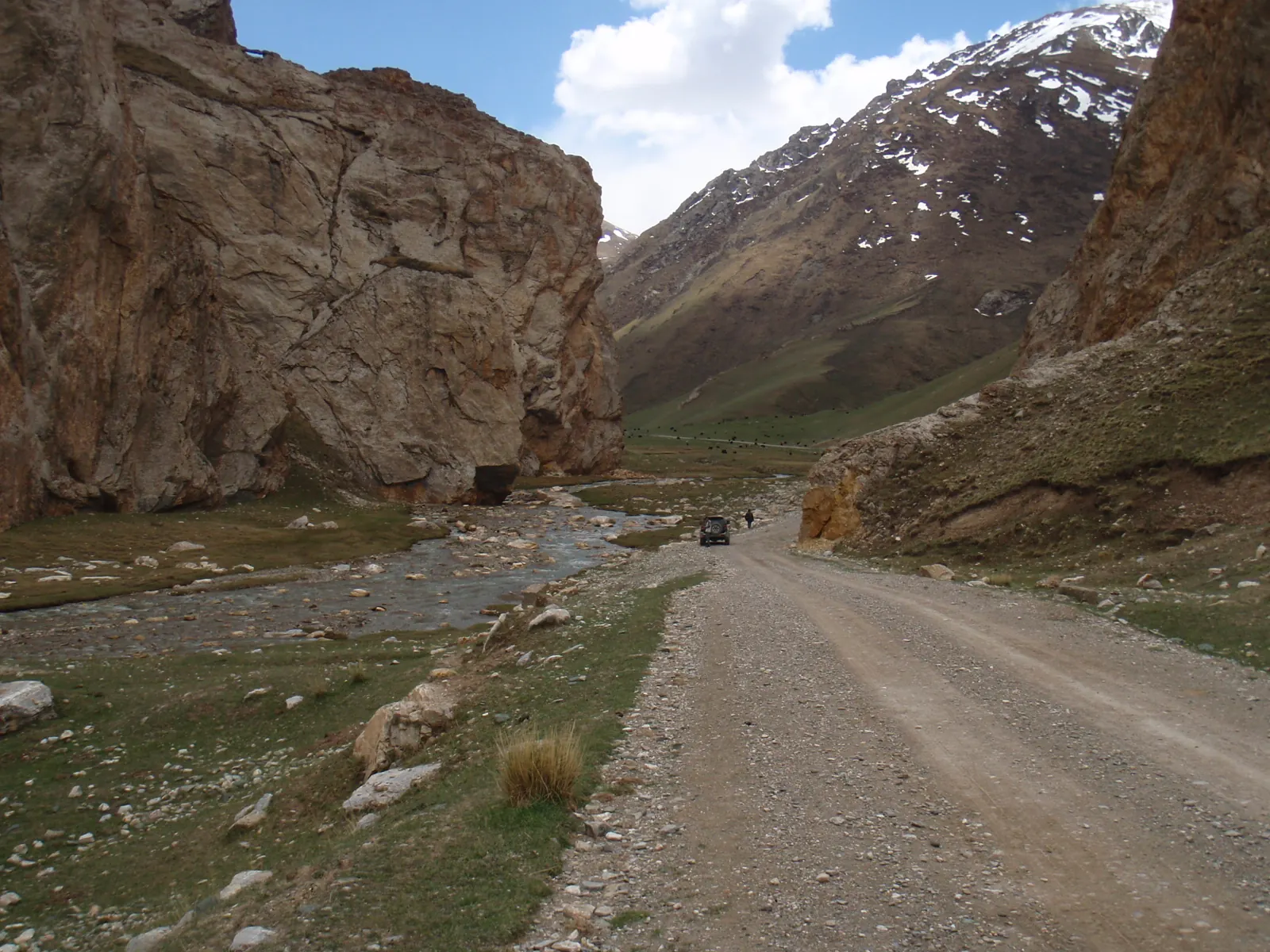 2/3. The road in the Tash Rabat and Chatyr-Kul area Photo: Raki_Man, Wikimedia Commons, CC BY 3.0; edited for this site.
 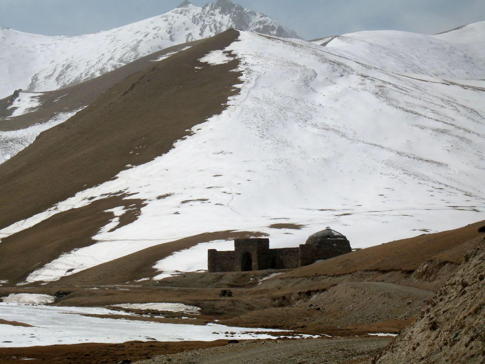 3/3. Spring conditions in a neighbouring high valley Photo: Firespeaker, Wikimedia Commons, CC BY-SA 3.0; edited for this site.
 The lake forms the Chatyr-Kul section of the Karatal-Japyryk State Nature Reserve. It also lies within a border zone beside China. A map pin is not enough: arrange a border permit before travelling and agree the format of your visit with an organiser who understands the reserve's requirements.
Do not drive independently to the water's edge simply to camp or take a photograph. Parts of the shore are marshy, the birds need quiet, and border and reserve staff may restrict your route. A proper visit to Chatyr-Kul is more like observing from an approved point than trekking freely around the lake.
The road from Naryn and arranging a permit
The main road approach runs from Naryn through At-Bashy towards Torugart Pass. The Department of Tourism gives a distance of about 200 kilometres from Naryn to the lake, but the actual route and available viewpoint depend on your permit, the weather and instructions from the authorities. From Bishkek, it is sensible to break the journey with a night in Naryn or At-Bashy.
Chatyr-Kul is specifically listed among the places in Naryn Region that require a border zone permit. Processing may take several weeks. Bring the original permit and your passport: a photograph of the document on your phone is not sufficient.
Do not plan a route through the Torugart checkpoint as if it were a visitor attraction. This is an international border crossing with its own operating regime. Turns, stops and the approach to the lake must be agreed in advance with the company or guide arranging your documents.
Chatyr-Kul fits naturally with a separate visit to Tash Rabat, although access to each place must be arranged independently. More stops appear in our guide to Naryn Region.
Why Chatyr-Kul is protected
The lake lies at an elevation of 3,530 metres, and the internationally important wetland covers 16,100 hectares. Chatyr-Kul joined the Ramsar List in 2005 as site number 1588. The official site information sheet notes its brackish water, absence of fish and a two-kilometre protection zone around the lake.
The absence of fish helps preserve distinctive aquatic communities. The lake is important for breeding bar-headed geese and for moulting water birds, including ruddy shelducks. This explains the restrictions better than any formal sign: approaching a flock, flying a drone or setting up a noisy camp disrupts the very conditions the area protects.
Older descriptions promise travellers snow leopards, hot springs and mountaineering routes directly beside the lake. Those promises create false expectations. Wild animals avoid people, springs are no substitute for an agreed route, and a protected area is not a venue for unrestricted outdoor recreation.
Altitude, weather and conduct on site
Altitude. Even without an uphill hike, you quickly reach more than 3,500 metres. Headache, nausea and weakness may occur on the first day. Worsening symptoms call for descent, not an attempt to “get used to it” beside the lake.
Weather. The basin is exposed to wind, and summer temperatures can fall sharply after sunset. Bring a warm layer, windproof jacket, gloves, sunglasses and sun protection. A forecast for Naryn does not describe conditions at Chatyr-Kul.
Range. Refuel in a settlement and carry water, food, a first-aid kit and a spare wheel. Do not count on finding a shop, mobile reception or quick repairs in the lake area.
Observation. Use binoculars or a telephoto lens. Do not descend onto wet ground, feed birds, collect plants or fly a drone without separate permission. Instructions from reserve inspectors and border guards always take precedence over your planned itinerary.
Share on social media
If you found this guide useful, share it on social media. It takes a moment and helps more travellers discover the project. Thank you!
Anything to add?
Share your experience, leave a comment or suggest an improvement.