Contents:
Why stop in Aidarken
Aidarken is a town of district significance in Batken Region. The municipal profile places it at roughly 1,980 metres above sea level, high enough for cool nights, abrupt weather changes and a strong sense of the mountains enclosing the settlement.
For most travellers, Aidarken works best as a deliberate break in a long south-western journey. A short stay allows time for the market, central streets and the story of a Soviet-era workers' settlement. An overnight stop can make an early departure easier, though accommodation is limited and best confirmed by phone.
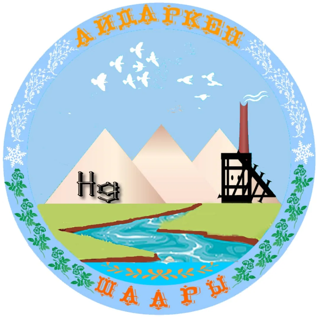 The emblem brings together the mountain and industrial setting. Image: Aidarken city administration, Wikimedia Commons, public domain; edited for this site. Set the right expectation. Aidarken has no single headline sight. Its interest lies in the relationship between the town, the high mountain setting and the mercury industry that shaped its streets and identity.
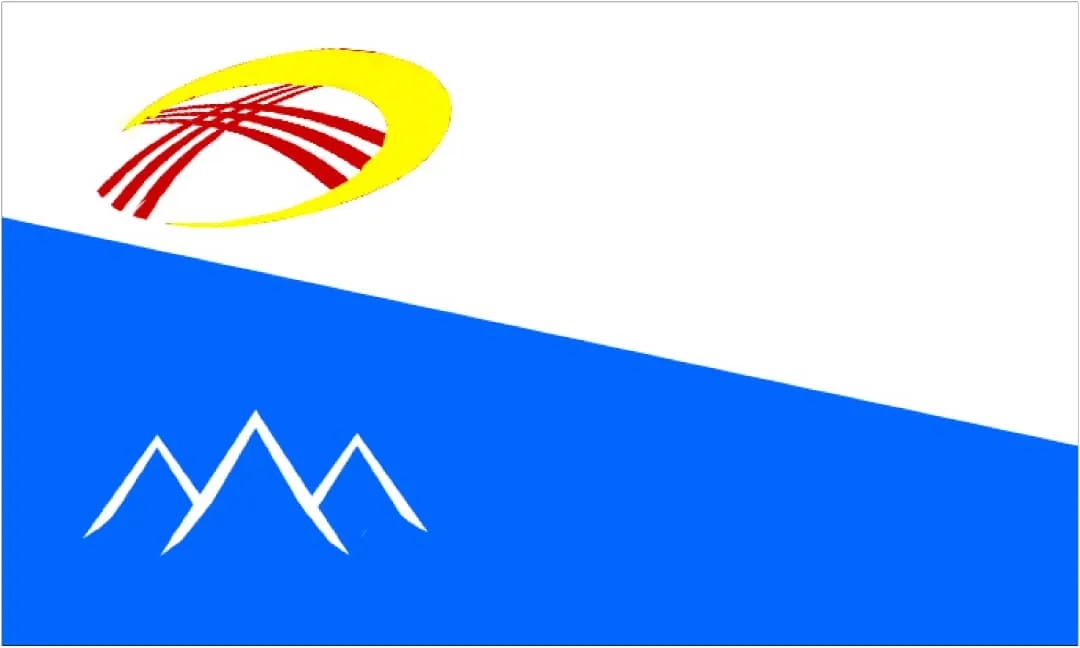 The flag of Aidarken. Image: Aidarken city administration, Wikimedia Commons, public domain; edited for this site.
What to see in and around town
The market and central streets. Start with the practical details. Confirm where your onward vehicle will leave, buy water and save the drop-off point on your phone. This is also the easiest part of town for a meal and a walk through the public streets of the former workers' settlement.
The mountain skyline. Aidarken sits among outliers of the Alay Range. The most revealing view may come from an ordinary street or a safe place on the approach road rather than a named lookout. Ask a driver to use a broad pull-off and never stand in the carriageway for a photograph.
The landscape south of town. Botanical records place high-mountain flora at Suu-Bashi, about 20 kilometres south-east of Aidarken. That location helps explain the surrounding ecology, but a specimen record is not a ready-made hiking route. Do not follow its coordinates without a local driver, a known road and enough daylight to return.
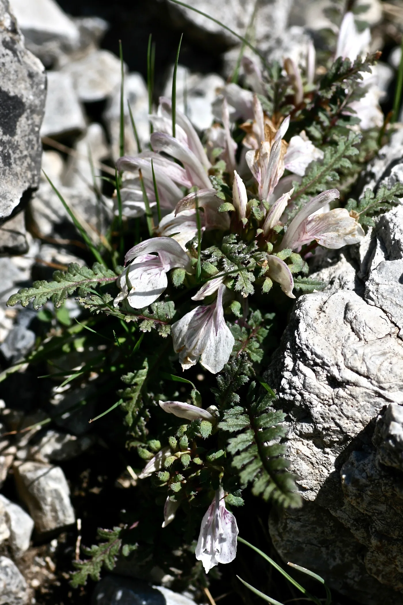 High-altitude flora in the Aidarken area. Photo: Alexey Yakovlev, Wikimedia Commons, CC BY-SA 2.0; edited for this site.
Aidarken, Aydarken or Khaidarkan?
Aidarken is the spelling used here for the modern town. Maps and English-language databases may also show Aydarken, while geological literature and the mining company retain Khaidarkan or Khaydarkan. These names generally refer to the same town or to the deposit associated with it.
Search for Aidarken when looking for accommodation and general directions. Add Khaidarkan when researching the mine or its minerals. At a transport stand in Kadamjay, show the driver a map pin rather than relying on pronunciation alone.
How mercury shaped the town
Aidarken grew around mercury production. Official accounts date the commissioning of the Khaidarkan mercury combine to 1942. The municipality also records that equipment evacuated from an industrial plant in the Donbas during the Second World War contributed to its launch. The enterprise influenced housing, roads and public services for the workers' settlement.
This is not merely a closed chapter. Kyrgyzstan's current licence register lists mercury, antimony and fluorite sections of the Khaidarkan deposit. For visitors, that explains the town's origins and vocabulary. It does not make the mine a tourist attraction: active and former workings require controlled access and specialist knowledge.
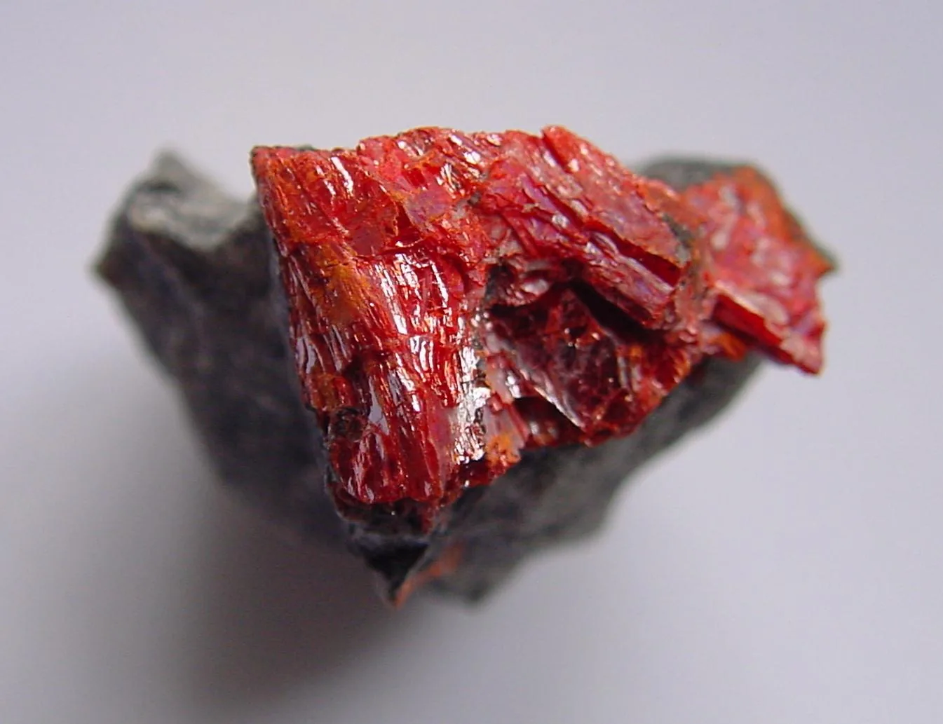 1/2. Getchellite from the Khaidarkan deposit Photo: Strickja, Wikimedia Commons, public domain; edited for this site.
 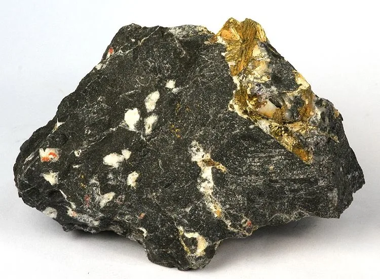 2/2. A documented mineral specimen, not a roadside souvenir Photo: Robert M. Lavinsky, Wikimedia Commons, CC BY-SA 3.0; edited for this site.
 Keep out of adits and waste heaps. Do not cross fences, collect rocks near workings, handle unknown minerals or fly a drone over industrial land. The town's mining history is safer to understand from public streets, its symbols and documented collections.
A two-hour or half-day plan
Two hours. Save the return pick-up point, walk through the market and central streets, look at the layout of the workers' town and stop for lunch. Stay on public roads. This simple plan leaves enough time for a shared taxi or minibus to fill.
Half a day. Add a short drive along the public approach road for a wider view of the town and mountains. Agree the stop, waiting time and fare before setting off. Turn back if the road is narrow or wet, or if industrial signage marks the verge.
Aidarken rarely needs a full sightseeing day. Extra daylight is better spent on a careful onward journey, a quiet overnight stay or a separate stop in Kyzyl-Kiya than on a search for improvised attractions behind fences.
Getting there, travelling onwards and staying overnight
From Osh, the road runs through Kyzyl-Kiya and Kadamjay before branching towards Aidarken. Municipal information puts Kadamjay about 46 kilometres away. Actual travel time depends on road conditions, stops and how long a shared vehicle waits for passengers.
Minibuses and shared taxis may leave only when full. Reconfirm the fare, departure point and expected connection on the day. If you are continuing to Batken, do not assume Aidarken lies directly on your vehicle's route. Check the change and direction in Kadamjay. Our Kyrgyzstan transport guide explains how shared services usually work.
Call accommodation before leaving a larger town. Ask about heating, hot water, late check-in, secure parking and an early taxi. In winter and the shoulder seasons, reliable heating matters more than a scenic window.
When to visit and how to stay safe
Late spring and early autumn suit a short town walk, but the altitude makes the weather change quickly. Summer sun remains strong even when the air feels cool. Winter can bring snow, ice and early darkness. Carry a warm layer in every season.
After heavy rain, ask about road and mudflow conditions before setting out. Do not take an unfamiliar mountain turn solely because it appears in an app. Batken is a border region, so carry your passport, save maps offline and check current local restrictions before travel.
The key distinction in Aidarken is between the public town and industrial land. The centre, market and open road provide ample context for a short visit. Leave mines, adits, waste heaps and service tracks to authorised specialists.
Share on social media
If you found this guide useful, share it on social media. It takes a moment and helps more travellers discover the project. Thank you!
Anything to add?
Share your experience, leave a comment or suggest an improvement.